Moodie Creek Satellite Image Map
Download Free Aerial Photo 094L14 at 1:50,000 scale
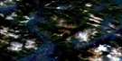
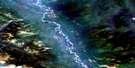
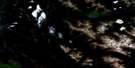
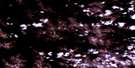
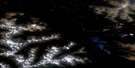
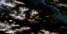
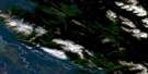
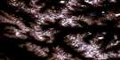
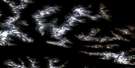
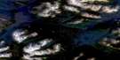
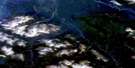
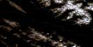
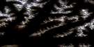
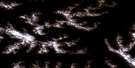
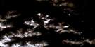
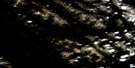
Moodie Creek Satellite Imagery
To view this satellite map, mouse over the air photo on the right.
You can also download this satellite image map for free:
094L14 Moodie Creek high-resolution satellite image map.
Maps for the Moodie Creek aerial map sheet 094L14 at 1:50,000 scale are also available in these versions:
Moodie Creek Surrounding Area Aerial Photo Maps
 |
 |
 |
 |
 |
 |
 |
 |
 |
 |
 |
 |
 |
 |
 |
 |
© Department of Natural Resources Canada. All rights reserved.
Moodie Creek Gazetteer
The following places can be found on satellite image map 094L14 Moodie Creek:
Moodie Creek Satellite Image: Lakes
Scoop LakeMoodie Creek Satellite Image: Mountains
Cassiar MountainsGataga Ranges
Kechika Ranges
Muskwa Ranges
Rocky Mountains
Terminus Mountain
Moodie Creek Satellite Image: Major municipal/district area - major agglomerations
Fort Nelson-Liard Regional DistrictMoodie Creek Satellite Image: Plains
Rabbit PlateauMoodie Creek Satellite Image: Rivers
Horneline CreekKechika River
Matulka Creek
Moodie Creek
Moodie Creek Satellite Image: Valleys
Rocky Mountain Trench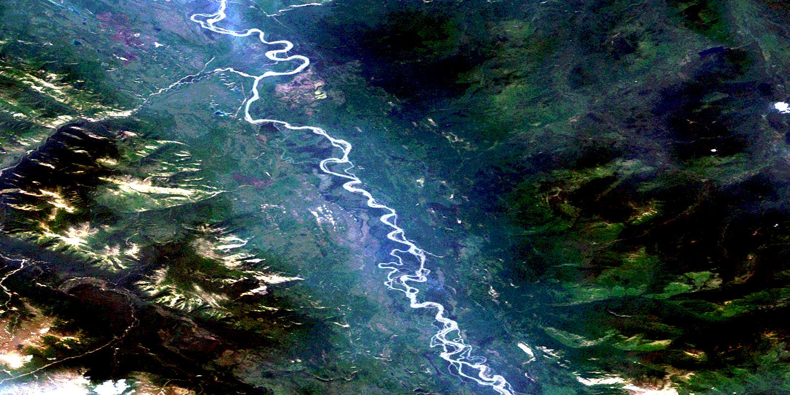
© Department of Natural Resources Canada. All rights reserved.
094L Related Maps:
094L Kechika River094L01 Braid Creek
094L02 Johiah Lake
094L03 Mount Irving
094L04 No Title
094L05 Tucho Lake
094L06 Denetiah Lake
094L07 Paddy Creek
094L08 Through Creek
094L09 No Title
094L10 Gataga Mountain
094L11 Denetiah Creek
094L12 Sharktooth Mountain
094L13 Moodie Lakes
094L14 Moodie Creek
094L15 No Title
094L16 Gundahoo Pass
