Eight Mile Creek Satellite Image Map
Download Free Aerial Photo 094N03 at 1:50,000 scale
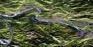
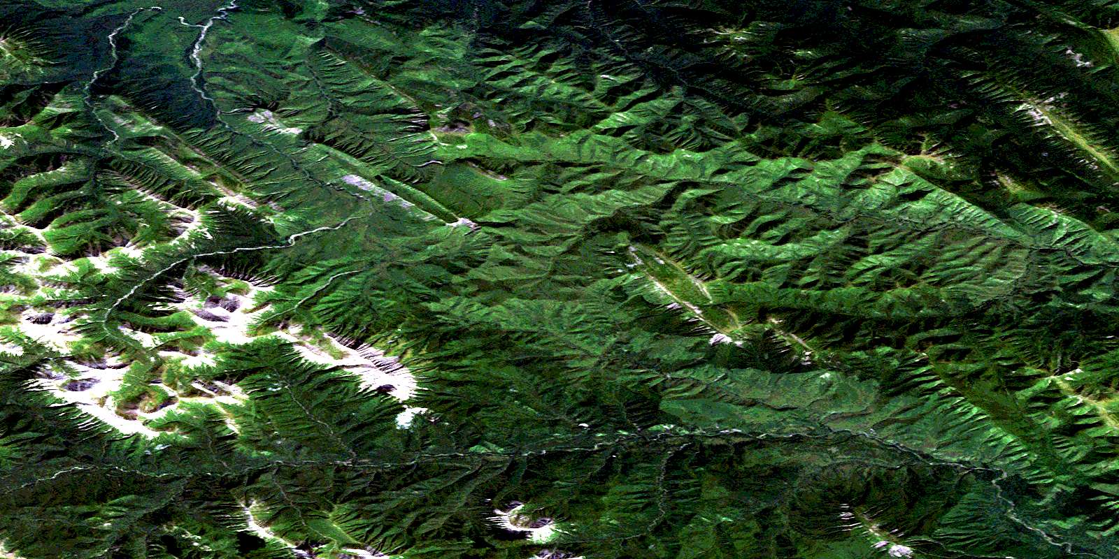
Eight Mile Creek Satellite Imagery
To view this satellite map, mouse over the air photo on the right.
You can also download this satellite image map for free:
094N03 Eight Mile Creek high-resolution satellite image map.
Maps for the Eight Mile Creek aerial map sheet 094N03 at 1:50,000 scale are also available in these versions:
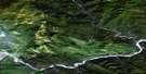
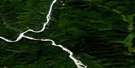
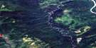
Eight Mile Creek Surrounding Area Aerial Photo Maps
 |
 |
 |
 |
 |
 |
 |
 |
 |
 |
 |
 |
 |
 |
 |
 |
© Department of Natural Resources Canada. All rights reserved.
Eight Mile Creek Gazetteer
The following places can be found on satellite image map 094N03 Eight Mile Creek:
Eight Mile Creek Satellite Image: Mountains
Ewe MountainMount McLearn
Muskwa Ranges
Rocky Mountain Foothills
Rocky Mountains
Sentinel Range
Eight Mile Creek Satellite Image: Major municipal/district area - major agglomerations
Fort Nelson-Liard Regional DistrictEight Mile Creek Satellite Image: Rivers
Crusty CreekEight Mile Creek
Scaffold Creek
© Department of Natural Resources Canada. All rights reserved.
094N Related Maps:
094N Toad River094N01 Dunedin River
094N02 Scaffold Creek
094N03 Eight Mile Creek
094N04 Trout River
094N05 Mount Prudence
094N06 Grayling River
094N07 Toad River
094N08 Nelson Forks
094N09 Catkin Creek
094N10 Scatter River
094N11 Bulwell Creek
094N12 Vizer Creek
094N13 Thorpe Creek
094N14 Beavercrow Mountain
094N15 Crow River
094N16 Beaver River
