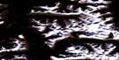
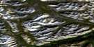
No Title Satellite Image Map
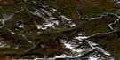
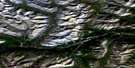
Download Free Aerial Photo 095M03 at 1:50,000 scale
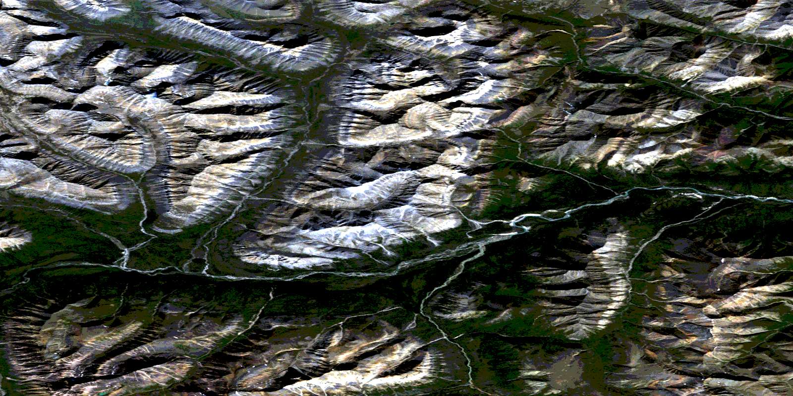
No Title Satellite Imagery
To view this satellite map, mouse over the air photo on the right.
You can also download this satellite image map for free:
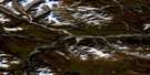
095M03 No Title high-resolution satellite image map.
Maps for the No Title aerial map sheet 095M03 at 1:50,000 scale are also available in these versions:
No Title Surrounding Area Aerial Photo Maps
 |
 |
 |
 |
 |
 |
 |
 |
 |
 |
 |
 |
 |
 |
 |
 |
© Department of Natural Resources Canada. All rights reserved.
No Title Gazetteer
The following places can be found on satellite image map 095M03 No Title:
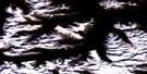
No Title Satellite Image: Mountains
Backbone RangesMackenzie Mountains
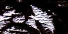
No Title Satellite Image: Plains
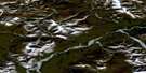
Redstone PlateauNo Title Satellite Image: Rivers
Ravens Throat RiverRedstone River
© Department of Natural Resources Canada. All rights reserved.
095M Related Maps:
095M Wrigley Lake095M01 No Title
095M02 No Title
095M03 No Title
095M04 No Title
095M05 Rockslide Pass
095M06 No Title
095M07 No Title
095M08 No Title
095M09 No Title
095M10 Hay Hook Lake
095M11 Lukas Creek
095M12 Shezal Canyon
095M13 Vanishing Ram Creek
095M14 No Title
095M15 Dark Rock Creek
095M16 Wrigley Lake
