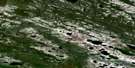
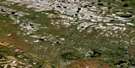
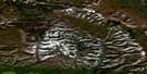
Twin Peaks Satellite Image Map
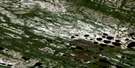
Download Free Aerial Photo 096B04 at 1:50,000 scale
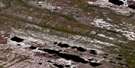
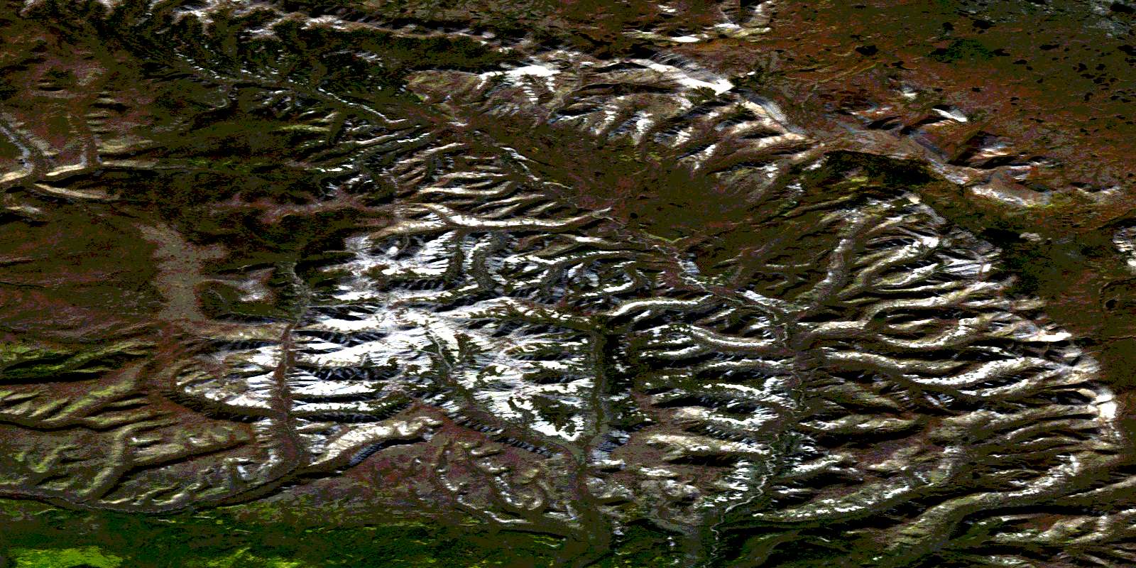
Twin Peaks Satellite Imagery
To view this satellite map, mouse over the air photo on the right.
You can also download this satellite image map for free:
096B04 Twin Peaks high-resolution satellite image map.
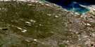
Maps for the Twin Peaks aerial map sheet 096B04 at 1:50,000 scale are also available in these versions:
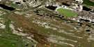
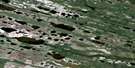
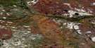
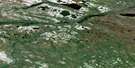
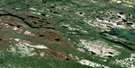
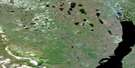
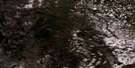
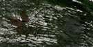
Twin Peaks Surrounding Area Aerial Photo Maps
 |
 |
 |
 |
 |
 |
 |
 |
 |
 |
 |
 |
 |
 |
 |
 |
© Department of Natural Resources Canada. All rights reserved.
Twin Peaks Gazetteer
The following places can be found on satellite image map 096B04 Twin Peaks:
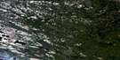
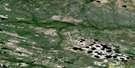
Twin Peaks Satellite Image: Mountains
Franklin MountainsMcConnell Range
Pedaytayshe Mountain
Twin Peaks
© Department of Natural Resources Canada. All rights reserved.
096B Related Maps:
096B Blackwater Lake096B01 No Title
096B02 Modeste Creek
096B03 Blackwater Lake North
096B04 Twin Peaks
096B05 Twin Fish Lake
096B06 Kodakin Creek
096B07 Water Lily Lake
096B08 No Title
096B09 No Title
096B10 No Title
096B11 No Title
096B12 No Title
096B13 No Title
096B14 No Title
096B15 Big Rock River
096B16 Mosquito Berry Hill
