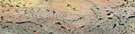
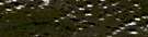
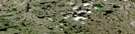
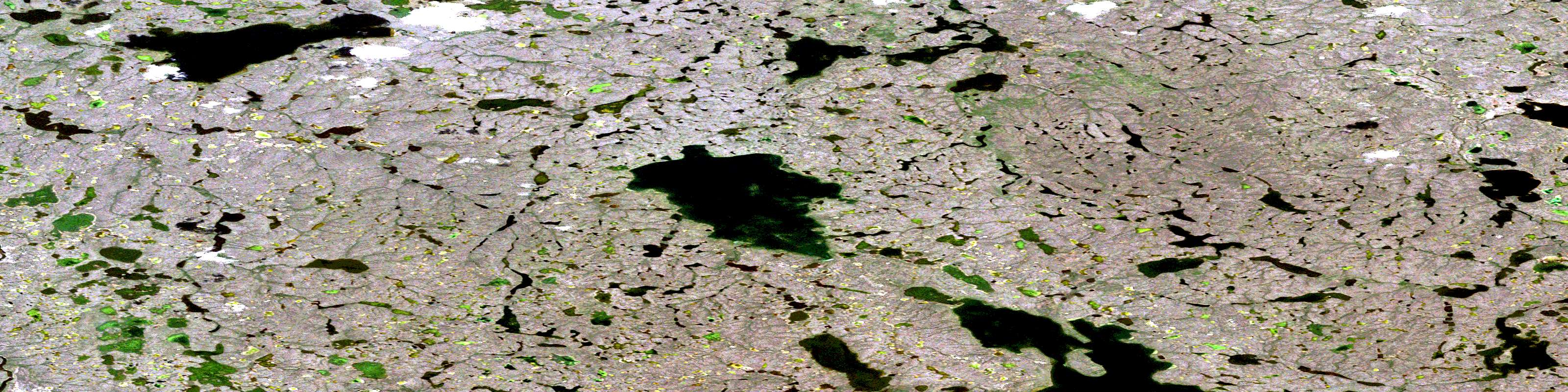
Tsoko Lake Satellite Image Map
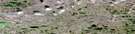
Download Free Aerial Photo 097B07 at 1:50,000 scale
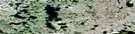
Tsoko Lake Satellite Imagery
To view this satellite map, mouse over the air photo on the right.
You can also download this satellite image map for free:
097B07 Tsoko Lake high-resolution satellite image map.
Maps for the Tsoko Lake aerial map sheet 097B07 at 1:50,000 scale are also available in these versions:
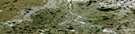
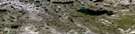
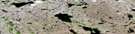
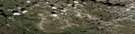
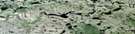
Tsoko Lake Surrounding Area Aerial Photo Maps
 |
 |
 |
 |
 |
 |
 |
 |
 |
 |
 |
 |
 |
 |
 |
 |
© Department of Natural Resources Canada. All rights reserved.
Tsoko Lake Gazetteer
The following places can be found on satellite image map 097B07 Tsoko Lake:
Tsoko Lake Satellite Image: Lakes
Tsoko LakeTsoko Lake Satellite Image: Rivers
Anderson RiverTsoko Lake Satellite Image: Territory
Northwest TerritoriesTerritoires du Nord-Ouest
© Department of Natural Resources Canada. All rights reserved.
097B Related Maps:
097B Simpson Lake097B01 No Title
097B02 Ewariege Lake
097B03 Simpson Lake
097B04 No Title
097B05 No Title
097B06 No Title
097B07 Tsoko Lake
097B08 No Title
097B09 No Title
097B10 Granet Lake
097B11 Tadenet Lake
097B12 No Title
097B13 No Title
097B14 Sadene Lake
097B15 Gilmore Lake
097B16 Fallaize Lake
