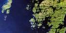
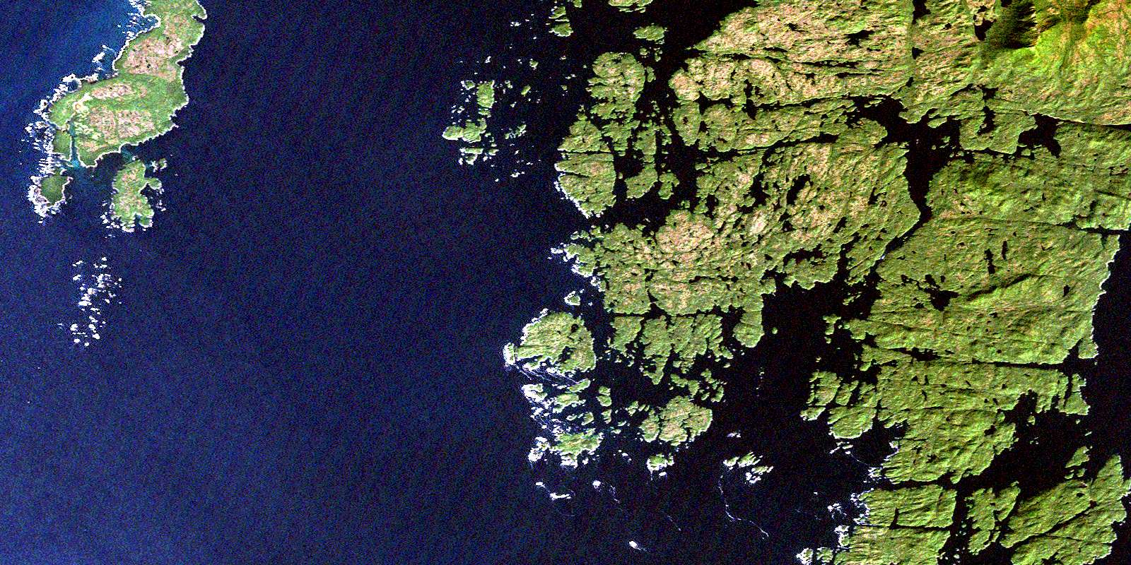
Hunter Island Satellite Image Map
Download Free Aerial Photo 102P16 at 1:50,000 scale
Hunter Island Satellite Imagery
To view this satellite map, mouse over the air photo on the right.
You can also download this satellite image map for free:
102P16 Hunter Island high-resolution satellite image map.
Maps for the Hunter Island aerial map sheet 102P16 at 1:50,000 scale are also available in these versions:
Hunter Island Surrounding Area Aerial Photo Maps
 |
|||
 |
|||
 |
|||
© Department of Natural Resources Canada. All rights reserved.
Hunter Island Gazetteer
The following places can be found on satellite image map 102P16 Hunter Island:
Hunter Island Satellite Image: Bays
Bremner BayCrab Cove
Goodlad Bay
Goose Island Anchorage
Goose Islands Anchorage
Kildidt Inlet
Kiltik Cove
Kiltik Creek
Kinsman Inlet
Leckie Bay
Lewall Inlet
Mustang Bay
Queen Charlotte Sound
Sea Otter Creek
Sea Otter Inlet
Spider Anchorage
Stewart Inlet
Swordfish Bay
Target Bay
Turnbull Inlet
Watt Bay
Hunter Island Satellite Image: Capes
Bayly PointBreadner Point
Daedalus Point
Hergest Point
Stubbs Point
Superstition Point
Hunter Island Satellite Image: Channels
Brydon ChannelCultus Sound
Edward Channel
Fulton Passage
Hunter Channel
Kildidt Narrows
Kildidt Sound
Lillooet Passage
Nalau Passage
Queens Sound
Sans Peur Passage
Spider Channel
Spitfire Channel
Ward Channel
Hunter Island Satellite Image: Cliffs
Purple BluffHunter Island Satellite Image: Indian Reserves
Réserve indienne Werkinellek 11Réserve indienne Yellertlee 12
Werkinellek Indian Reserve 11
Yellertlee Indian Reserve 12
Hunter Island Satellite Image: Islands
Anne IslandsBeard Islands
Blenheim Island
Breadner Group
Camel Island
Canso Island
Clare Island
Currie Islet
Dodwell Island
Duck Island
Edna Islands
Gnat Islets
Goolden Islands
Goose Group
Goose Island
Goose Islands
Gosling Island
Granville Islands
Gull Island
Guy Island
Hanna Islet
Hart Group
Hurricane Island
Kidney Island
Kittyhawk Group
Latta Island
Lyte Group
Manley Island
McNaughton Group
Mosquito Islets
Nalau Island
Pattinson Group
Prince Group
Robert Island
Ronald Island
Rupert Island
Seafire Island
Serpent Group
Simonds Group
Snipe Island
Spider Island
Spitfire Island
Stirling Island
Stopper Group
Swan Island
Tomahawk Island
Triplet Islands
Triquet Island
Typhoon Island
Underhill Island
Hunter Island Satellite Image: Lakes
Kildidt LagoonKinsman Lagoon
Merritt Lagoon
Hunter Island Satellite Image: Mountains
Mount MerrittHunter Island Satellite Image: Major municipal/district area - major agglomerations
Central Coast Regional DistrictHunter Island Satellite Image: Conservation areas
Hakai Recreation AreaHunter Island Satellite Image: Shoals
Airacobra RockGosling Rocks
Lancaster Reef
Lane Rock
Superstition Ledge
Vivian Rock
© Department of Natural Resources Canada. All rights reserved.
