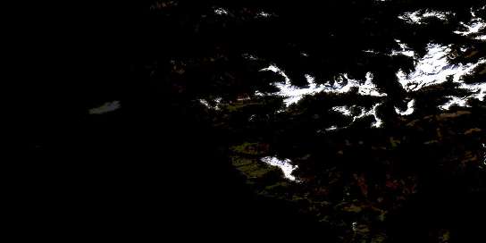
Moore Channel Satellite Imagery
To view this satellite map, mouse over the air photo on the right.
You can also download this satellite image map for free:
103C16 Moore Channel high-resolution satellite image map.
Maps for the Moore Channel aerial map sheet 103C16 at 1:50,000 scale are also available in these versions:
Moore Channel Surrounding Area Aerial Photo Maps
© Department of Natural Resources Canada. All rights reserved.
Moore Channel Gazetteer
The following places can be found on satellite image map 103C16 Moore Channel:
Moore Channel Satellite Image: Bays
Antiquary BayBottle Inlet
Douglas Inlet
Englefield Bay
Fairfax Inlet
Hewlett Bay
Hunger Harbour
Kootenay Inlet
Kuper Inlet
Lomgon Bay
Mitchell Inlet
Mudge Inlet
Newcombe Inlet
Pay Bay
Peel Inlet
Portland Bay
Sewell Inlet
Tasoo Harbour
Tasu Sound
Thetis Anchorage
Two Mountain Bay
Wright Inlet
Moore Channel Satellite Image: Capes
Archer PointBell Point
Blunt Point
Bottle Point
Cape Henry
Cape Kuper
Chads Point
Colton Point
Corlett Peninsula
Denham Point
Freshfield Point
Herbert Head
Josling Peninsula
Josling Point
Kootenay Point
Laing Point
Leslie Point
Macneill Point
Magneson Point
McAlmond Point
McNutt Point
Niven Point
Peel Point
Recovery Point
Reid Point
Roe Point
Sangster Point
Shearer Point
Una Point
Work Point
Moore Channel Satellite Image: Channels
Inskip ChannelMoore Channel
Moore Channel Satellite Image: Cliffs
Baylee BluffMoore Channel Satellite Image: Islands
Colton IsletGowing Island
Hibben Island
Horn Island
Îles de la Reine-Charlotte
Leopold Islands
Lomgon Islets
Luxmoore Island
Moresby Island
Moresby Islets
Queen Charlotte Islands
Rogers Island
Sansum Island
Moore Channel Satellite Image: Lakes
Emerslund LakeMoresby Lake
Russ Lake
Takakia Lake
Moore Channel Satellite Image: Mountains
Mount RussQueen Charlotte Mountains
Queen Charlotte Ranges
Moore Channel Satellite Image: Conservation areas
Gwaii Haanas National Park Reserve and Haida Heritage SiteRéserve de parc national et site du patrimoine haïda Gwaii Haanas
Moore Channel Satellite Image: Rivers
Crazy CreekMoresby Creek
Sewell Inlet Creek
Slim Creek
Takakia Creek
Tasu Creek
Moore Channel Satellite Image: Shoals
Ariel RockAugustus Rock
Denham Shoals
Horn Rock
Shearer Rock
Thorn Rock
Winnifred Rocks
Moore Channel Satellite Image: Unincorporated areas
Tasu© Department of Natural Resources Canada. All rights reserved.


