Mount Beirnes Satellite Image Map
Download Free Aerial Photo 104A15 at 1:50,000 scale
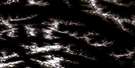
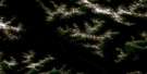
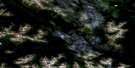
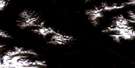
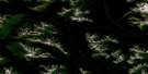
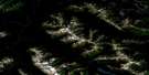
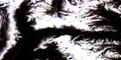
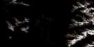
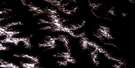
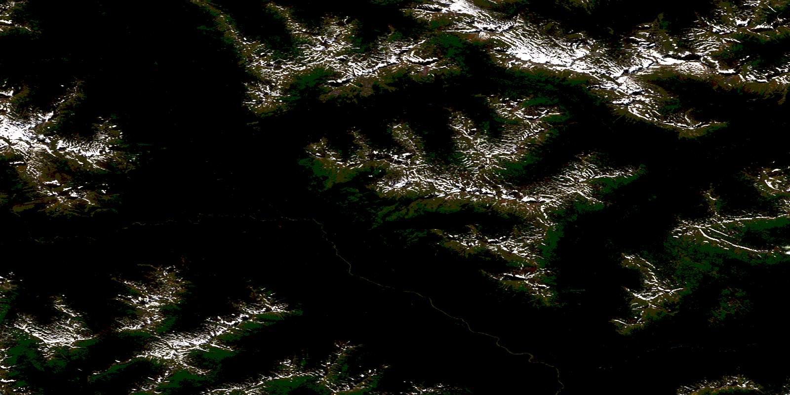
Mount Beirnes Satellite Imagery
To view this satellite map, mouse over the air photo on the right.
You can also download this satellite image map for free:
104A15 Mount Beirnes high-resolution satellite image map.
Maps for the Mount Beirnes aerial map sheet 104A15 at 1:50,000 scale are also available in these versions:
Mount Beirnes Surrounding Area Aerial Photo Maps
 |
 |
 |
 |
 |
 |
 |
 |
 |
 |
 |
 |
 |
 |
 |
 |
© Department of Natural Resources Canada. All rights reserved.
Mount Beirnes Gazetteer
The following places can be found on satellite image map 104A15 Mount Beirnes:
Mount Beirnes Satellite Image: Mountains
Mount BeirnesSkeena Mountains
Mount Beirnes Satellite Image: Major municipal/district area - major agglomerations
Regional District of Kitimat-StikineMount Beirnes Satellite Image: Rivers
Anthony CreekBeirnes Creek
Currier Creek
Ethel Creek
Konigus Creek
Nass River
Otsi Creek
Panorama Creek
© Department of Natural Resources Canada. All rights reserved.
104A Related Maps:
104A Bowser Lake104A01 Sallysout Creek
104A02 Kwinageese River
104A03 Meziadin Lake
104A04 Bear River
104A05 Bowser Lake
104A06E Bell-Irving River
104A06W Bell-Irving River
104A07 Taylor River
104A08 Blackwater Peak
104A09E Damdochax Lake
104A09W Damdochax Lake
104A10 Muskaboo Creek
104A11 Taft Creek
104A12 Delta Peak
104A13 Mount Alger
104A14 Konigus Creek
104A15 Mount Beirnes
104A16 Mcevoy Flats
