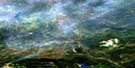
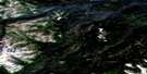
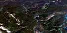
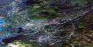
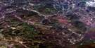
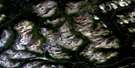
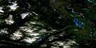
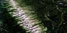
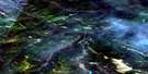
Needlepoint Mountain Satellite Image Map
Download Free Aerial Photo 104P04 at 1:50,000 scale
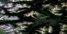
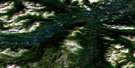
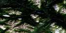
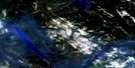
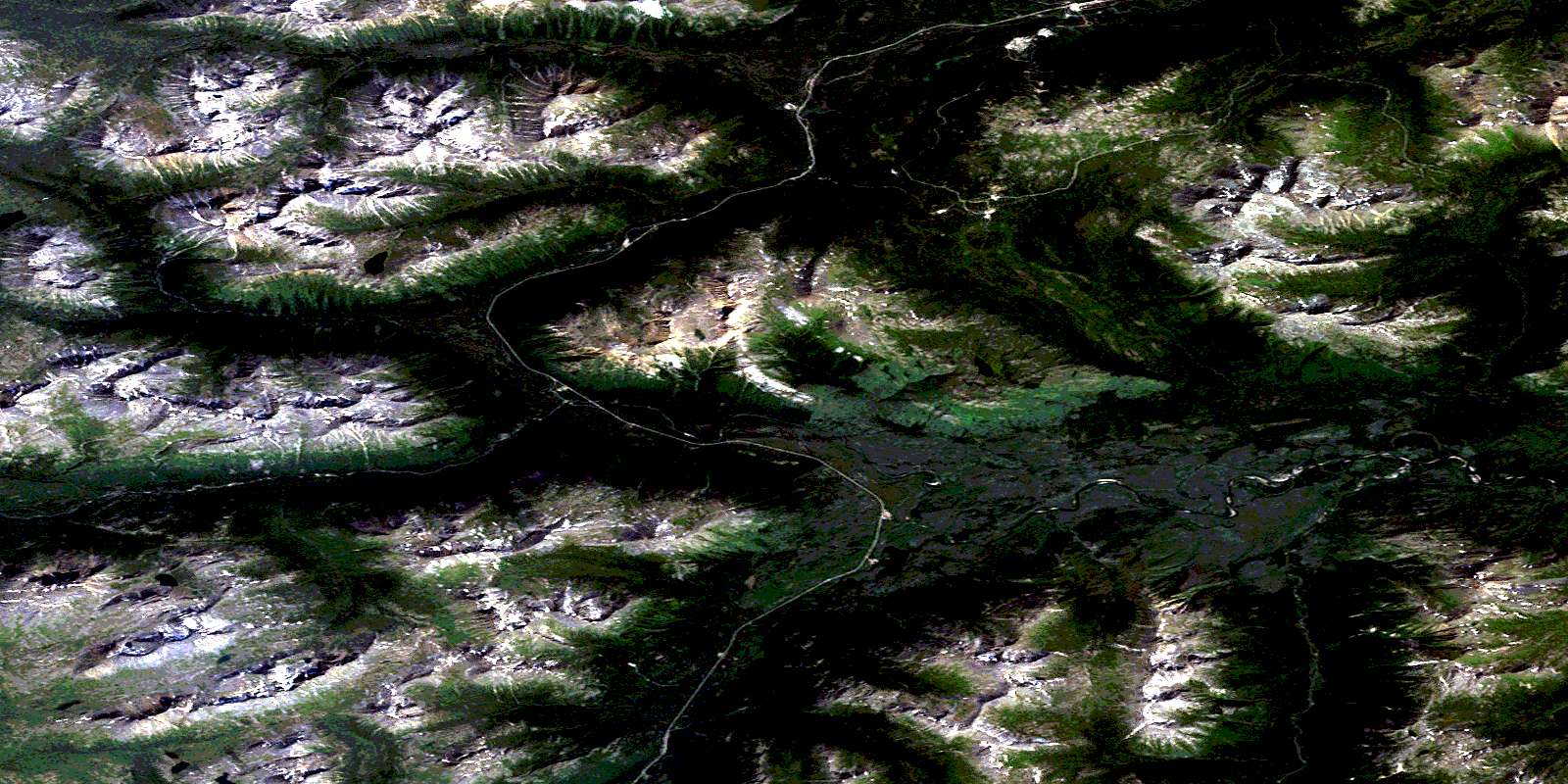
Needlepoint Mountain Satellite Imagery
To view this satellite map, mouse over the air photo on the right.
You can also download this satellite image map for free:
104P04 Needlepoint Mountain high-resolution satellite image map.
Maps for the Needlepoint Mountain aerial map sheet 104P04 at 1:50,000 scale are also available in these versions:
Needlepoint Mountain Surrounding Area Aerial Photo Maps
 |
 |
 |
 |
 |
 |
 |
 |
 |
 |
 |
 |
 |
 |
 |
 |
© Department of Natural Resources Canada. All rights reserved.
Needlepoint Mountain Gazetteer
The following places can be found on satellite image map 104P04 Needlepoint Mountain:
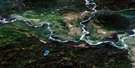
Needlepoint Mountain Satellite Image: Channels
Allard ChannelNeedlepoint Mountain Satellite Image: Lakes
Callison LakeCook Lake
Cotton Lake
Lang Lake
McDame Lake
Pine Lake
Pinetree Lake
Simmons Lake
Vines Lake
Needlepoint Mountain Satellite Image: Mountains
Anvil MountainCassiar Mountains
Eagle Mountain
Limestone Peak
Needlepoint Mountain
Sheep Mountain
Skree Range
Stikine Ranges
Needlepoint Mountain Satellite Image: Rapids
Cottonwood RapidsPine Rapids
Needlepoint Mountain Satellite Image: Rivers
Anvil CreekBass Creek
Beale Creek
Charlie Chief Creek
Cottonwood River
Dease River
Eagle River
Finlayson Creek
Huntergroup Creek
McDame Creek
Pooley Creek
Troutline Creek
Needlepoint Mountain Satellite Image: Unincorporated areas
Quartz Mining CampNeedlepoint Mountain Satellite Image: Valleys
Aeroplane PassCariboo Pass
Machita Pass
© Department of Natural Resources Canada. All rights reserved.
104P Related Maps:
104P Mcdame104P01 Deadwood Lake
104P02 Julian Creek
104P03 Mcdame
104P04 Needlepoint Mountain
104P05 Cassiar
104P06 Good Hope Lake
104P07 Johnny Creek
104P08 Deadwood River
104P09 Mustela Creek
104P10 No Title
104P11 Dot Lake
104P12 Blue Dome
104P13 One Ace Mountain
104P14 Old Faddy Lake
104P15 Lutz Creek
104P16 Lower Post
