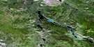
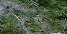
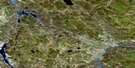
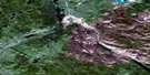
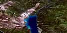
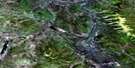
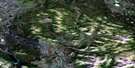
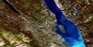
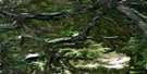
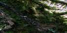
Lower Laberge Satellite Image Map
Download Free Aerial Photo 105E06 at 1:50,000 scale
Lower Laberge Satellite Imagery
To view this satellite map, mouse over the air photo on the right.
You can also download this satellite image map for free:
105E06 Lower Laberge high-resolution satellite image map.
Maps for the Lower Laberge aerial map sheet 105E06 at 1:50,000 scale are also available in these versions:
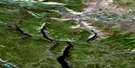
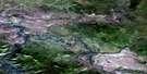
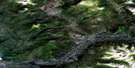
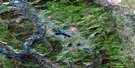
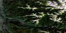
Lower Laberge Surrounding Area Aerial Photo Maps
 |
 |
 |
 |
 |
 |
 |
 |
 |
 |
 |
 |
 |
 |
 |
 |
© Department of Natural Resources Canada. All rights reserved.
Lower Laberge Gazetteer
The following places can be found on satellite image map 105E06 Lower Laberge:
Lower Laberge Satellite Image: Capes
Goddard PointPtarmigan Point
Lower Laberge Satellite Image: Lakes
Coghlan LakeFox Lake
Lake Laberge
Richthofen Lake
Lower Laberge Satellite Image: Mountains
Black RidgeHancock Hills
Mistake Mountain
Mount Edith
Mount Lewes
Povoas Mountain
Surprise Mountain
Lower Laberge Satellite Image: Plains
Yukon PlateauLower Laberge Satellite Image: Rivers
Fleuve YukonFrank Creek
Lewes River
Ogilvie Creek
Yukon River
Lower Laberge Satellite Image: River features
The Thirty MileU.S. Bend
Lower Laberge Satellite Image: Unincorporated areas
Lower LabergeLower Laberge Satellite Image: Valleys
Ogilvie Valley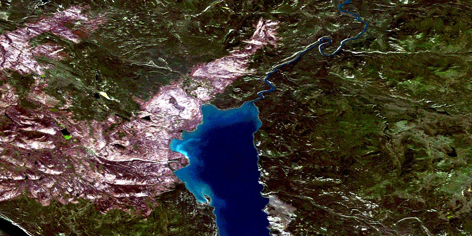
© Department of Natural Resources Canada. All rights reserved.
105E Related Maps:
105E Lake Laberge105E01 Boswell Mountain
105E02 Teslin Mountain
105E03E Lake Laberge
105E03W Lake Laberge
105E04E Pilot Mountain
105E04W Pilot Mountain
105E05E Braeburn Lake
105E05W Braeburn Lake
105E06E Lower Laberge
105E06W Lower Laberge
105E07E Mason Landing
105E07W Mason Landing
105E08 Livingstone Creek
105E09 Teraktu Creek
105E10E Hootalinqua
105E10W Hootalinqua
105E11E Frank Creek
105E11W Frank Creek
105E12E Twin Lakes
105E12W Twin Lakes
105E13E Mandanna Lake
105E13W Mandanna Lake
105E14E Claire Lake
105E14W Claire Lake
105E15E Big Salmon
105E15W Big Salmon
105E16E Solitary Mountain
105E16W Solitary Mountain
