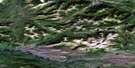
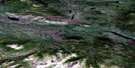
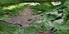
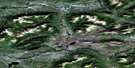
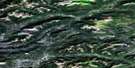
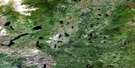
Jackfish Lake Satellite Image Map
Download Free Aerial Photo 105J06 at 1:50,000 scale
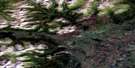
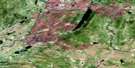
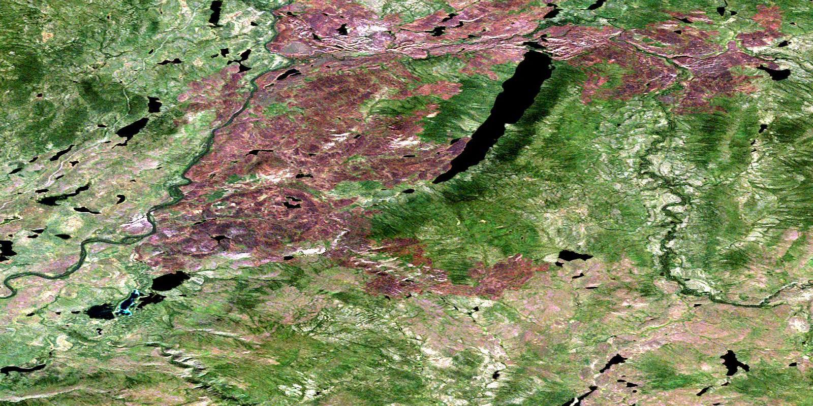
Jackfish Lake Satellite Imagery
To view this satellite map, mouse over the air photo on the right.
You can also download this satellite image map for free:
105J06 Jackfish Lake high-resolution satellite image map.
Maps for the Jackfish Lake aerial map sheet 105J06 at 1:50,000 scale are also available in these versions:
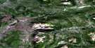
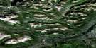
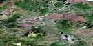
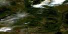
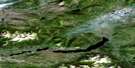
Jackfish Lake Surrounding Area Aerial Photo Maps
 |
 |
 |
 |
 |
 |
 |
 |
 |
 |
 |
 |
 |
 |
 |
 |
© Department of Natural Resources Canada. All rights reserved.
Jackfish Lake Gazetteer
The following places can be found on satellite image map 105J06 Jackfish Lake:
Jackfish Lake Satellite Image: Lakes
Jackfish LakeJackfish Lake Satellite Image: Plains
Yukon PlateauJackfish Lake Satellite Image: Rivers
Otter CreekRoss River
© Department of Natural Resources Canada. All rights reserved.
105J Related Maps:
105J Sheldon Lake105J01 Pelly Lakes
105J02 No Title
105J03 No Title
105J04 Marjorie Lake
105J05 Chechera Mountain
105J06 Jackfish Lake
105J07 No Title
105J08 Wolf Canyon
105J09 No Title
105J10 No Title
105J11 Field Lake
105J12 No Title
105J13 No Title
105J14 No Title
105J15 No Title
105J16 Itsi Lakes
