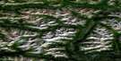
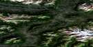
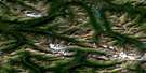
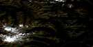
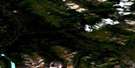
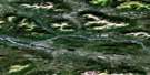
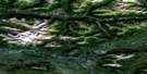
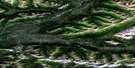
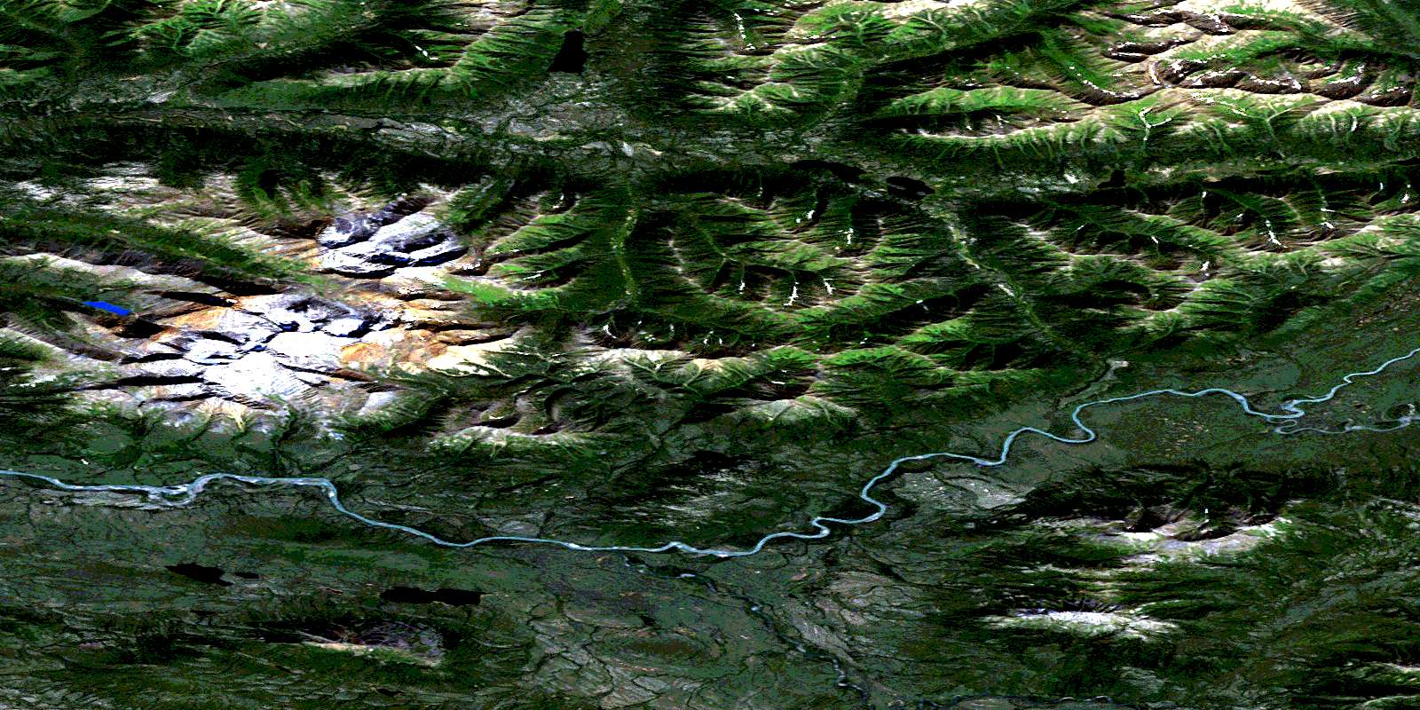
No Title Satellite Image Map
Download Free Aerial Photo 105O06 at 1:50,000 scale
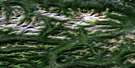
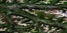
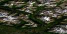
No Title Satellite Imagery
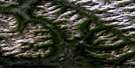
To view this satellite map, mouse over the air photo on the right.
You can also download this satellite image map for free:
105O06 No Title high-resolution satellite image map.
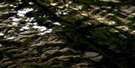
Maps for the No Title aerial map sheet 105O06 at 1:50,000 scale are also available in these versions:
No Title Surrounding Area Aerial Photo Maps
 |
 |
 |
 |
 |
 |
 |
 |
 |
 |
 |
 |
 |
 |
 |
 |
© Department of Natural Resources Canada. All rights reserved.
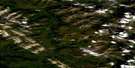
No Title Gazetteer
The following places can be found on satellite image map 105O06 No Title:
No Title Satellite Image: Lakes
Niddery LakeNo Title Satellite Image: Mountains
Hess MountainsRogue Range
Selwyn Mountains
No Title Satellite Image: Rivers
Emerald CreekHess River
© Department of Natural Resources Canada. All rights reserved.
105O Related Maps:
105O Niddery Lake105O01 No Title
105O02 No Title
105O03 No Title
105O04 No Title
105O05 Emerald Creek
105O06 No Title
105O07 No Title
105O08 Keele Peak
105O09 No Title
105O10 Elmer Creek
105O11 Arrowhead Lake
105O12 Fango Lake
105O13 Einarson Creek
105O14 Marmot Creek
105O15 Thor Hills
105O16 Hailstone Creek
