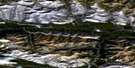
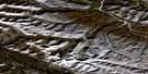
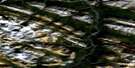
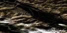
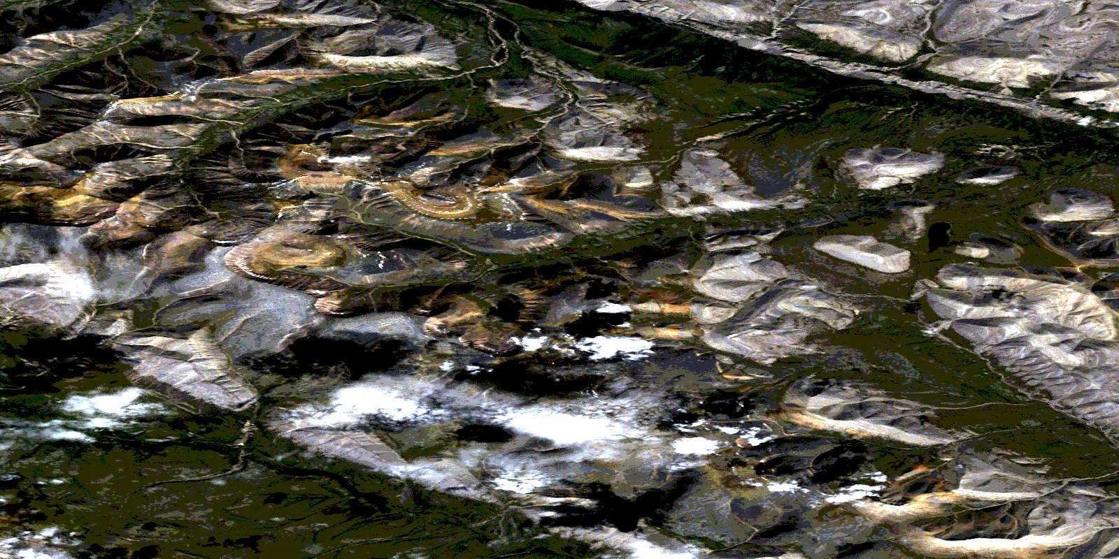
Mcclure Lake Satellite Image Map
Download Free Aerial Photo 106A09 at 1:50,000 scale
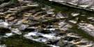
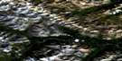
Mcclure Lake Satellite Imagery
To view this satellite map, mouse over the air photo on the right.
You can also download this satellite image map for free:
106A09 Mcclure Lake high-resolution satellite image map.
Maps for the Mcclure Lake aerial map sheet 106A09 at 1:50,000 scale are also available in these versions:
Mcclure Lake Surrounding Area Aerial Photo Maps
 |
 |
 |
 |
 |
 |
 |
 |
 |
 |
 |
 |
 |
 |
 |
 |
© Department of Natural Resources Canada. All rights reserved.
Mcclure Lake Gazetteer
The following places can be found on satellite image map 106A09 Mcclure Lake:
Mcclure Lake Satellite Image: Lakes
McClure LakeMcclure Lake Satellite Image: Mountains
Backbone RangesCanyon Ranges
Mackenzie Mountains
Mcclure Lake Satellite Image: Plains
Stony PlateauMcclure Lake Satellite Image: Rivers
Andy CreekCarcajou River
Etagochile Creek
Little Keele River
Sheep Lick Creek
Mcclure Lake Satellite Image: Territory
Northwest TerritoriesTerritoires du Nord-Ouest
© Department of Natural Resources Canada. All rights reserved.
106A Related Maps:
106A Mount Eduni106A01 Ekwi River
106A02 Anthill Creek
106A03 Caribou Cry Rapids
106A04 Willow Handle Lake
106A05 Shale Lake
106A06 No Title
106A07 Ten Stone Mountain
106A08 Cache Mountain
106A09 Mcclure Lake
106A10 No Title
106A11 No Title
106A12 No Title
106A13 No Title
106A14 No Title
106A15 No Title
106A16 No Title
