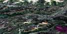
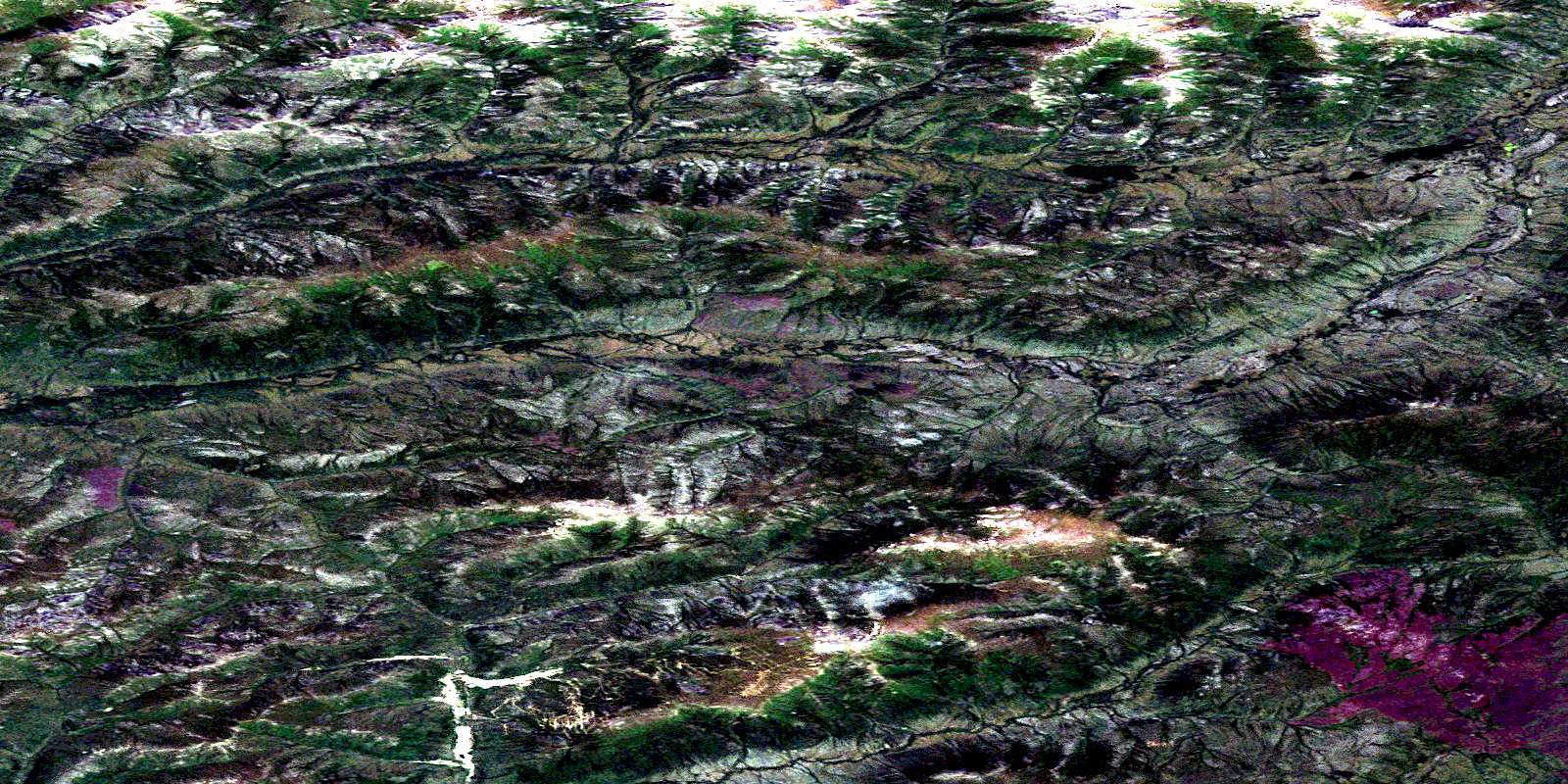
Dublin Gulch Satellite Image Map
Download Free Aerial Photo 106D04 at 1:50,000 scale
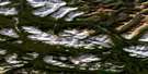
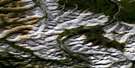
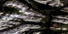
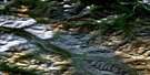
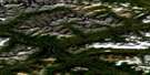
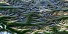
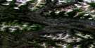
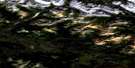
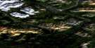
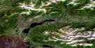
Dublin Gulch Satellite Imagery
To view this satellite map, mouse over the air photo on the right.
You can also download this satellite image map for free:
106D04 Dublin Gulch high-resolution satellite image map.
Maps for the Dublin Gulch aerial map sheet 106D04 at 1:50,000 scale are also available in these versions:
Dublin Gulch Surrounding Area Aerial Photo Maps
 |
 |
 |
 |
 |
 |
 |
 |
 |
 |
 |
 |
 |
 |
 |
 |
© Department of Natural Resources Canada. All rights reserved.
Dublin Gulch Gazetteer
The following places can be found on satellite image map 106D04 Dublin Gulch:
Dublin Gulch Satellite Image: Lakes
Eagle LakeSteamboat Lake
Dublin Gulch Satellite Image: Mountains
Eagle RidgeHaggart Dome
Lynx Dome
Ogilvie Mountains
Ogilvie Range
Potato Hills
Steamboat Mountain
Dublin Gulch Satellite Image: Plains
Yukon PlateauDublin Gulch Satellite Image: Rivers
Christie CreekDublin Gulch
Eagle Creek
Eagle Pup
East McQuesten River
Fisher Gulch
Haggart Creek
Ironrust Creek
Lime Creek
Lynx Creek
Secret Creek
Skate Creek
Ski Creek
Sluice Creek
Sluice Fork Creek
Dublin Gulch Satellite Image: Valleys
Ann GulchBawn Boy Gulch
Cascallan Gulch
Gill Gulch
Olive Gulch
Platinum Gulch
Ray Gulch
Stewart Gulch
Suttle Gulch
© Department of Natural Resources Canada. All rights reserved.
106D Related Maps:
106D Nash Creek106D01 Mount Westman
106D02 Scougale Creek
106D03 Mcquesten Lake
106D04 Dublin Gulch
106D05 Elliott Lake
106D06 Horseshoe Hill
106D07 Williams Creek
106D08 No Title
106D09 Mcclusky Lake
106D10 Bond Creek
106D11 Hart Lake
106D12 Elliott Creek
106D13 No Title
106D14 Louis Creek
106D15 Bear River
106D16 Slats Creek
