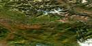
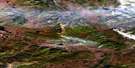
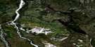
Prongs Creek Satellite Image Map
Download Free Aerial Photo 106E05 at 1:50,000 scale
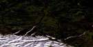
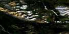
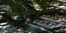
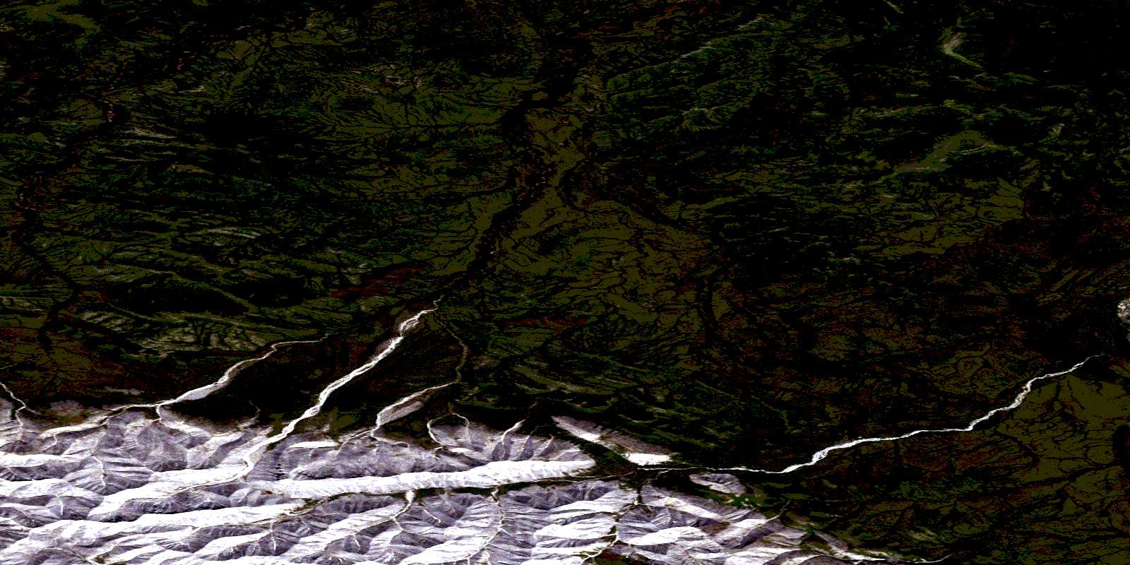
Prongs Creek Satellite Imagery
To view this satellite map, mouse over the air photo on the right.
You can also download this satellite image map for free:
106E05 Prongs Creek high-resolution satellite image map.
Maps for the Prongs Creek aerial map sheet 106E05 at 1:50,000 scale are also available in these versions:
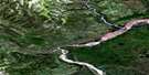
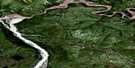
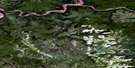
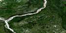
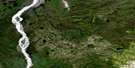
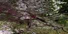
Prongs Creek Surrounding Area Aerial Photo Maps
 |
 |
 |
 |
 |
 |
 |
 |
 |
 |
 |
 |
 |
 |
 |
 |
© Department of Natural Resources Canada. All rights reserved.
Prongs Creek Gazetteer
The following places can be found on satellite image map 106E05 Prongs Creek:
Prongs Creek Satellite Image: Mountains
Illtyd MountainsIlltyd Range
Taiga Ranges
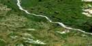
Prongs Creek Satellite Image: Rivers
Clear CreekLake Creek
Little Wind River
Prongs Creek
© Department of Natural Resources Canada. All rights reserved.
106E Related Maps:
106E Wind River106E01 Quartet Lakes
106E02 Kiwi Lake
106E03 Royal Mountain
106E04 No Title
106E05 Prongs Creek
106E06 No Title
106E07 No Title
106E08 No Title
106E09 No Title
106E10 No Title
106E11 No Title
106E12 Bear Lake
106E13 Aberdeen Canyon
106E14 No Title
106E15 Chappie Lake
106E16 Solo Lake
