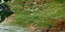
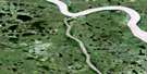
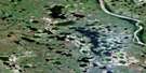
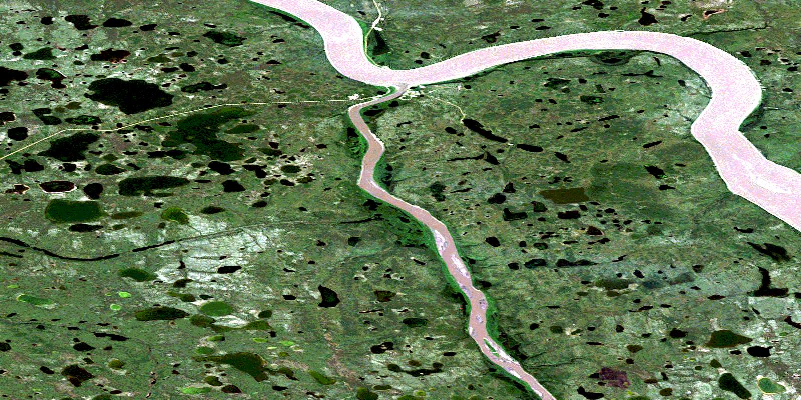
Arctic Red River Satellite Image Map
Download Free Aerial Photo 106N05 at 1:50,000 scale
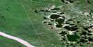
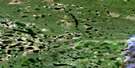
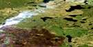
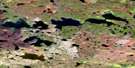
Arctic Red River Satellite Imagery
To view this satellite map, mouse over the air photo on the right.
You can also download this satellite image map for free:
106N05 Arctic Red River high-resolution satellite image map.
Maps for the Arctic Red River aerial map sheet 106N05 at 1:50,000 scale are also available in these versions:
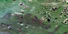
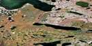
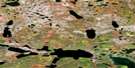
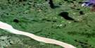
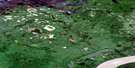
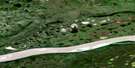
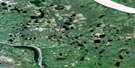
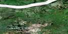
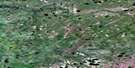
Arctic Red River Surrounding Area Aerial Photo Maps
 |
 |
 |
 |
 |
 |
 |
 |
 |
 |
 |
 |
 |
 |
 |
 |
© Department of Natural Resources Canada. All rights reserved.
Arctic Red River Gazetteer
The following places can be found on satellite image map 106N05 Arctic Red River:
Arctic Red River Satellite Image: Bays
Cony BayRock Cove
Arctic Red River Satellite Image: Cliffs
Lower RampartsArctic Red River Satellite Image: Hamlets
Arctic Red RiverTsiigehtchic
Arctic Red River Satellite Image: Lakes
Dog LakeIslands Lake
Nagle Lake
Taraltie Lake
Three Forks Lake
Tso Lake
Tsull Lake
Arctic Red River Satellite Image: Rivers
Arctic Red RiverFleuve Mackenzie
Frog Creek
Mackenzie River
Nagle Creek
Tsital Trein Creek
Tso Creek
Arctic Red River Satellite Image: Territory
Northwest TerritoriesTerritoires du Nord-Ouest
© Department of Natural Resources Canada. All rights reserved.
106N Related Maps:
106N Arctic Red River106N01 Tree River
106N02 Fat Rabbit Creek
106N03 Thad Lake
106N04 Ramey Lake
106N05 Arctic Red River
106N06 Attoe Lake
106N07 Rabbit Hay River
106N08 Benoit Creek
106N09 Jiggle Lake
106N10 Wounded Bear Lake
106N11 Puzzle Lake
106N12 Tundra Lake
106N13 No Title
106N14 No Title
106N15 Sunny Lake
106N16 Wood Bridge Lake
