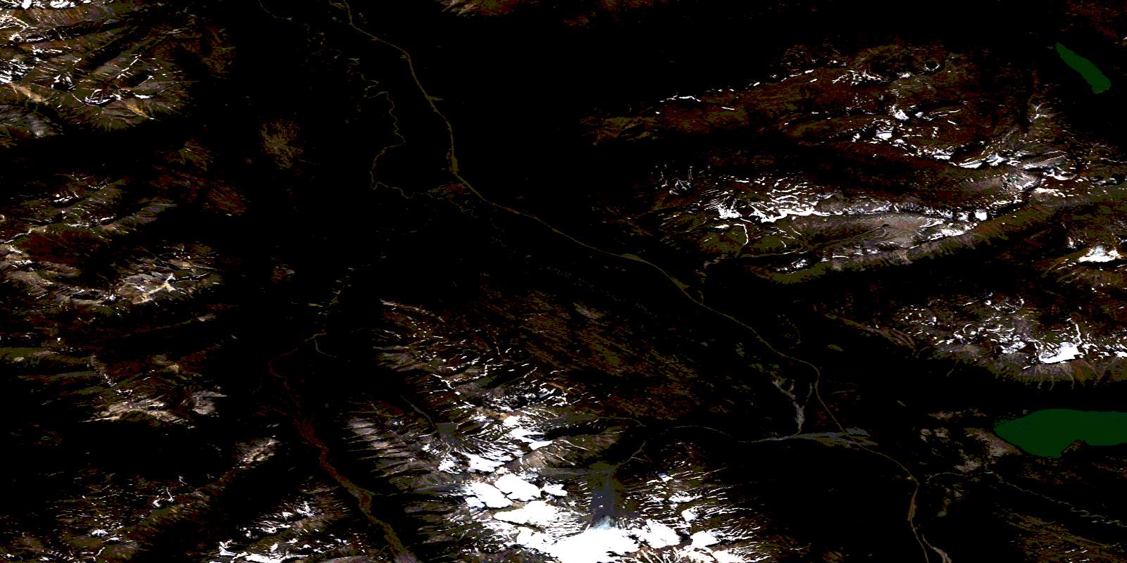
Parton River Satellite Image Map
Download Free Aerial Photo 114P15 at 1:50,000 scale
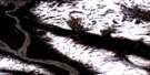
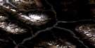
Parton River Satellite Imagery
To view this satellite map, mouse over the air photo on the right.
You can also download this satellite image map for free:
114P15 Parton River high-resolution satellite image map.
Maps for the Parton River aerial map sheet 114P15 at 1:50,000 scale are also available in these versions:
Parton River Surrounding Area Aerial Photo Maps
 |
 |
 |
 |
 |
 |
 |
 |
 |
 |
 |
 |
 |
 |
 |
© Department of Natural Resources Canada. All rights reserved.
Parton River Gazetteer
The following places can be found on satellite image map 114P15 Parton River:
Parton River Satellite Image: Lakes
Blanchard LakeKelsall Lake
Parton River Satellite Image: Mountains
Alsek RangesBarrier Ridge
Boundary Ranges
Chaîne Côtière
Coast Mountains
Datlasaka Mountains
Datlasaka Range
Kusawak Range
Mount Atkinson
Mount Mansfield
Mount Parton
Scottie Mountain
Squaw Range
St. Elias Mountains
Parton River Satellite Image: Conservation areas
Kluane/Wrangell-St. Elias/Glacier Bay/Tatshenshini-Alsek World Heritage SiteSite du patrimoine mondial Kluane/Wrangell-St. Elias/Glacier Bay/Tatshenshini-Alsek
Tatshenshini-Alsek Park
Tatshenshini-Alsek Wilderness Park
Parton River Satellite Image: Rivers
Blanchard RiverDatlasaka Creek
Goat Creek
Goldrun Creek
Kelsall River
Kwatini Creek
Langton Creek
Mansfield Creek
Mule Creek
Nadahini Creek
Nadahini River
Parton River
Stanley Creek
Talbot Creek
Tatshenshini River
Parton River Satellite Image: Unincorporated areas
Bear CampGlacier Camp
© Department of Natural Resources Canada. All rights reserved.
114P Related Maps:
114P Tatshenshini River114P02 Carroll Glacier
114P03 Grand Pacific Glacier
114P04 Mount Lodge
114P05 Konamoxt Glacier
114P06 Pentice Ridge
114P07 Tsirku Glacier
114P08 Mount Henry Clay
114P09 Kelsall River
114P10 Nadahini Creek
114P11 Carmine Mountain
114P12 Tats Lake
114P13 Range Lake
114P14 Survey Lake
114P15 Parton River
114P16 Mount Kelsall
