Snag Creek Satellite Image Map
Download Free Aerial Photo 115K08 at 1:50,000 scale
Snag Creek Satellite Imagery
To view this satellite map, mouse over the air photo on the right.
You can also download this satellite image map for free:
115K08 Snag Creek high-resolution satellite image map.
Maps for the Snag Creek aerial map sheet 115K08 at 1:50,000 scale are also available in these versions:
Snag Creek Surrounding Area Aerial Photo Maps
 |
 |
||
 |
 |
||
 |
 |
||
 |
 |
© Department of Natural Resources Canada. All rights reserved.
Snag Creek Gazetteer
The following places can be found on satellite image map 115K08 Snag Creek:
Snag Creek Satellite Image: Plains
Klondike PlateauKluane Plateau
Yukon Plateau
Snag Creek Satellite Image: Rivers
Dry CreekLake Creek
Snag Creek
White River
Snag Creek Satellite Image: Road features
James TrailSnag Creek Satellite Image: Unincorporated areas
SnagSnag Creek Satellite Image: Valleys
Wellesley Basin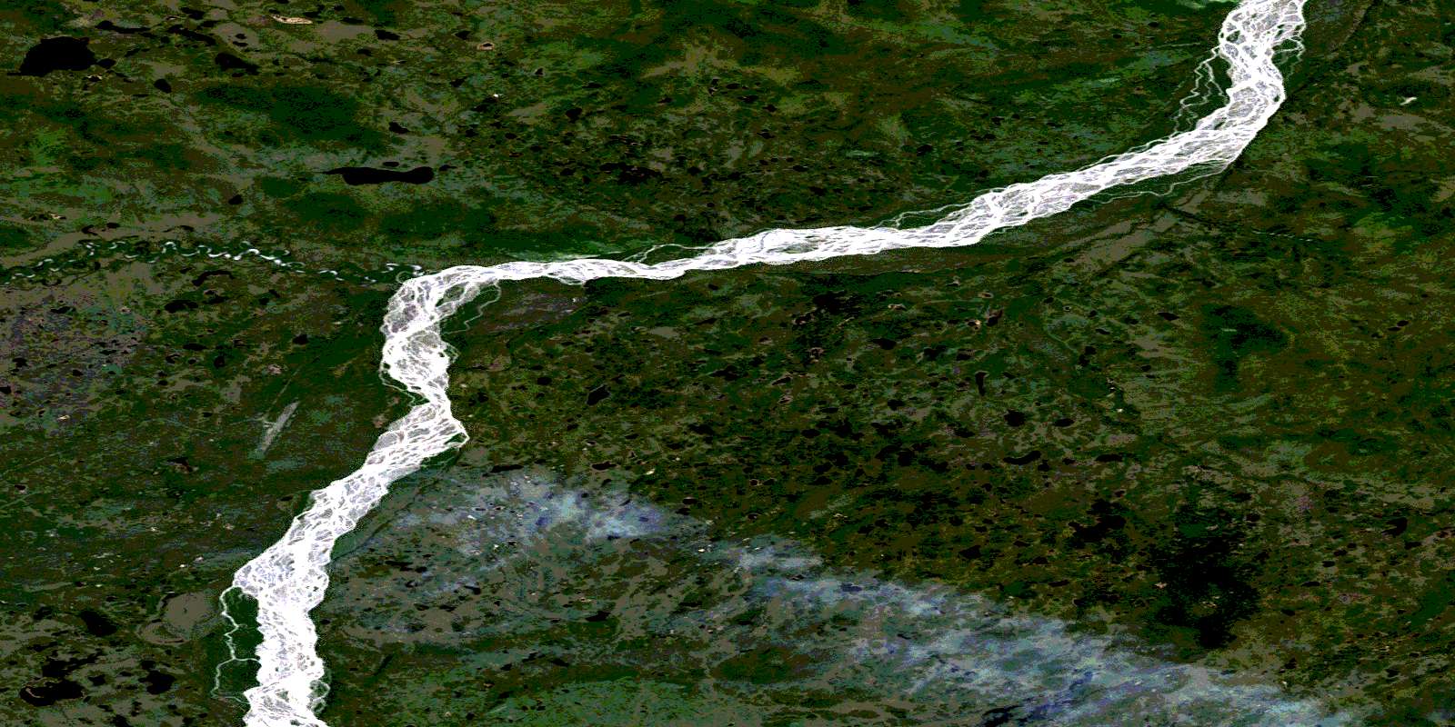
© Department of Natural Resources Canada. All rights reserved.
