North Mcquesten River Satellite Image Map
Download Free Aerial Photo 116A01 at 1:50,000 scale
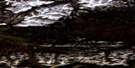
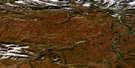
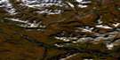
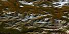
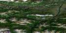
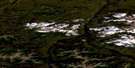
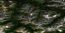
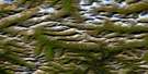
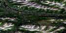
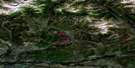
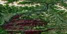
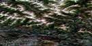
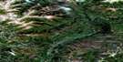
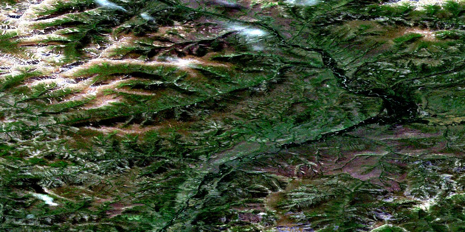
North Mcquesten River Satellite Imagery
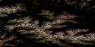
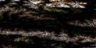
To view this satellite map, mouse over the air photo on the right.
You can also download this satellite image map for free:
116A01 North Mcquesten River high-resolution satellite image map.
Maps for the North Mcquesten River aerial map sheet 116A01 at 1:50,000 scale are also available in these versions:
North Mcquesten River Surrounding Area Aerial Photo Maps
 |
 |
 |
 |
 |
 |
 |
 |
 |
 |
 |
 |
 |
 |
 |
 |
© Department of Natural Resources Canada. All rights reserved.
North Mcquesten River Gazetteer
The following places can be found on satellite image map 116A01 North Mcquesten River:
North Mcquesten River Satellite Image: Mountains
Ogilvie MountainsOgilvie Range
North Mcquesten River Satellite Image: Plains
Stewart PlateauYukon Plateau
North Mcquesten River Satellite Image: Rivers
Ballard CreekEagle Creek
East McQuesten River
Fisher Creek
Flet Creek
Larsen Creek
North McQuesten River
Red Creek
Sluice Creek
Sluice Fork Creek
© Department of Natural Resources Canada. All rights reserved.
116A Related Maps:
116A Larsen Creek116A01 North Mcquesten River
116A02 Larsen Creek
116A03 Clum Creek
116A04 Aussie Creek
116A05 Hamilton Creek
116A06 One Eighty Lake
116A07 Davidson Pass
116A08 Worm Lake
116A09 No Title
116A10 No Title
116A11 Two Beaver Lake
116A12 Lomond Creek
116A13 No Title
116A14 West Hart River
116A15 No Title
116A16 No Title
