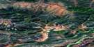
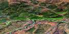
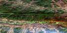
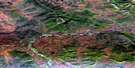
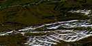
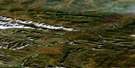
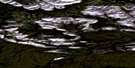
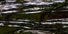
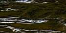
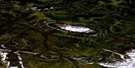
Mount Mccullum Satellite Image Map
Download Free Aerial Photo 116H05 at 1:50,000 scale
Mount Mccullum Satellite Imagery
To view this satellite map, mouse over the air photo on the right.
You can also download this satellite image map for free:
116H05 Mount Mccullum high-resolution satellite image map.
Maps for the Mount Mccullum aerial map sheet 116H05 at 1:50,000 scale are also available in these versions:
Mount Mccullum Surrounding Area Aerial Photo Maps
 |
 |
 |
 |
 |
 |
 |
 |
 |
 |
 |
 |
 |
 |
 |
 |
© Department of Natural Resources Canada. All rights reserved.
Mount Mccullum Gazetteer
The following places can be found on satellite image map 116H05 Mount Mccullum:
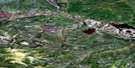
Mount Mccullum Satellite Image: Mountains
Mount McCullumTaiga Ranges
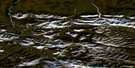
Mount Mccullum Satellite Image: Rivers
Blackstone River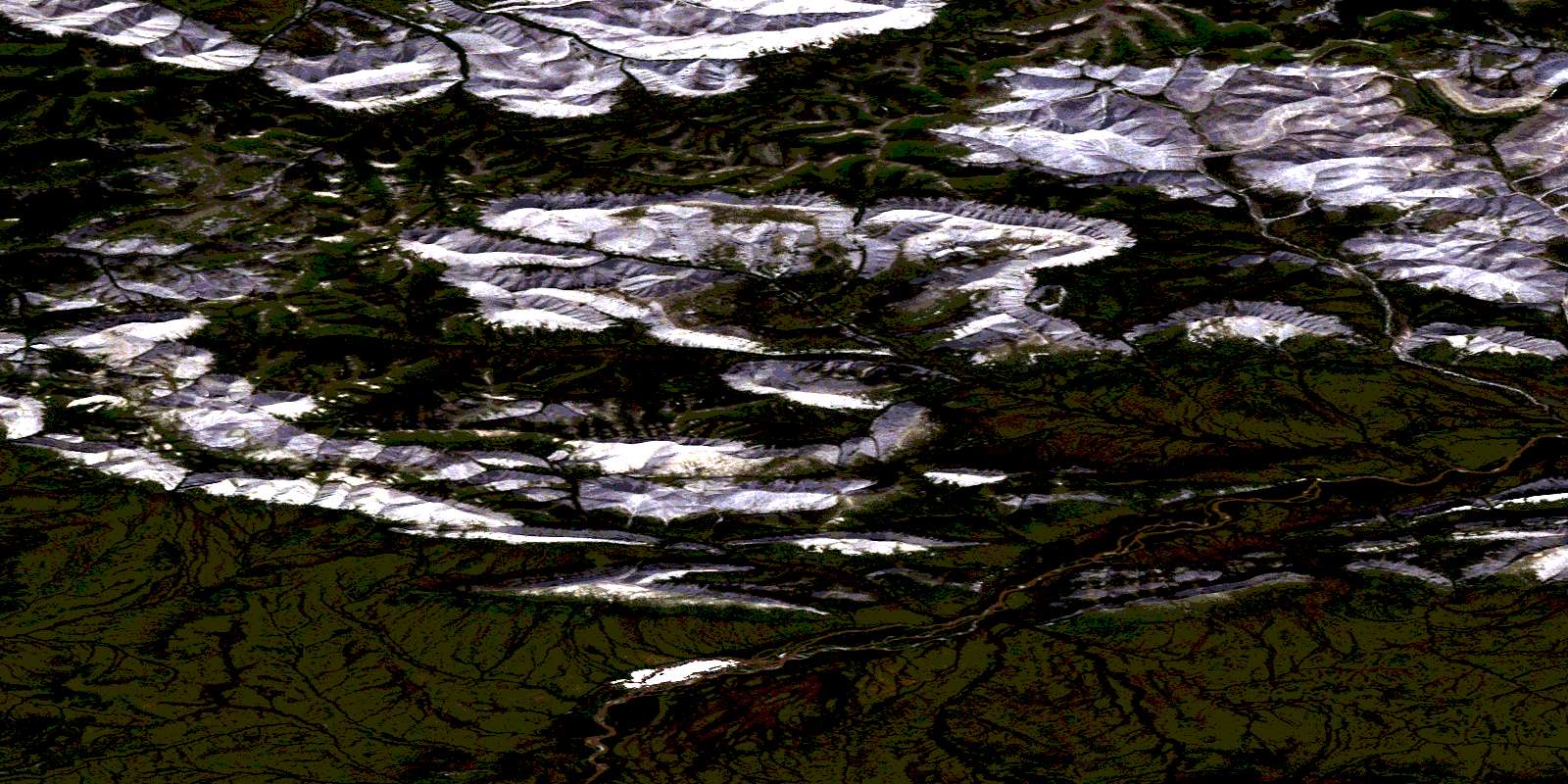
© Department of Natural Resources Canada. All rights reserved.
116H Related Maps:
116H Hart River116H01 Mount Dempster
116H02 Pat Lake
116H03 Mount Kinney
116H04 Blackstone Lake
116H05 Mount Mccullum
116H06 Mount Bunoz
116H07 Mount Fyfe
116H08 Mount Turner
116H09 Hungry Lake
116H10 Esau Hill
116H11 Mount Carter
116H12 Mount Cronkhite
116H13 Scriver Creek
116H14 Enterprise Creek
116H15 Pothole Lake
116H16 Canyon Creek
