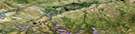
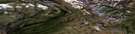
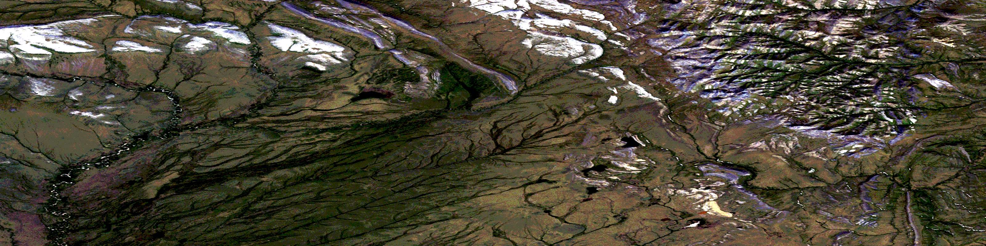
Flask Lake Satellite Image Map
Download Free Aerial Photo 117A06 at 1:50,000 scale
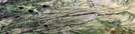
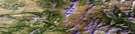
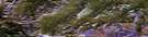
Flask Lake Satellite Imagery
To view this satellite map, mouse over the air photo on the right.
You can also download this satellite image map for free:
117A06 Flask Lake high-resolution satellite image map.
Maps for the Flask Lake aerial map sheet 117A06 at 1:50,000 scale are also available in these versions:
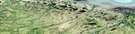
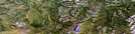
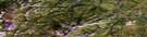
Flask Lake Surrounding Area Aerial Photo Maps
 |
 |
 |
 |
 |
 |
 |
 |
 |
 |
 |
 |
 |
 |
 |
 |
© Department of Natural Resources Canada. All rights reserved.
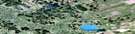
Flask Lake Gazetteer
The following places can be found on satellite image map 117A06 Flask Lake:
Flask Lake Satellite Image: Lakes
Flask LakeFlask Lake Satellite Image: Mountains
Barn MountainsBarn Range
Mount Fitton
Flask Lake Satellite Image: Conservation areas
Parc national du Canada VuntutVuntut National Park of Canada
Flask Lake Satellite Image: Rivers
Black Fox CreekBlow River
Dog Creek
© Department of Natural Resources Canada. All rights reserved.
117A Related Maps:
117A Blow River117A01 No Title
117A02 Bonnet Lake
117A03 Girouard Hill
117A04 Pattullo Lake
117A05 Mount Clement
117A06 Flask Lake
117A07 Mount Close
117A08 No Title
117A09E Mount Davies Gilbert
117A09W Mount Davies Gilbert
117A10E Anker Creek
117A10W Anker Creek
117A11 Welcome Mountain
117A12 Cottonwood Creek
117A13 Mount Sedgwick
117A14 Babbage River
117A15E Running River
117A15W Running River
117A16E Tent Island
117A16W Tent Island
