Siamarni Forks Topo Map Online
Download Free Topo Map Sheet 014E03 at 1:50,000 scale
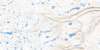
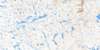
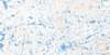
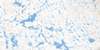
014E03 Siamarni Forks Topo Map
To view this map, mouse over the map preview on the right.
You can also download this topo map for free:
014E03 Siamarni Forks high-resolution topo map image.
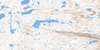
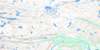
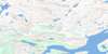
Maps for the Siamarni Forks topo map sheet 014E03 at 1:50,000 scale are also available in these versions:
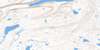
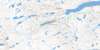
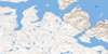
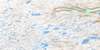
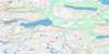
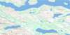
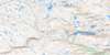
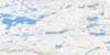
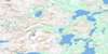
Siamarni Forks Surrounding Area Topo Maps
 |
 |
 |
 |
 |
 |
 |
 |
 |
 |
 |
 |
 |
 |
 |
 |
© Department of Natural Resources Canada. All rights reserved.
Siamarni Forks Gazetteer
The following places can be found on topographic map sheet 014E03 Siamarni Forks:
Siamarni Forks Topo Map: Rivers
Kingurutik RiverSikkoyavik Brook
Siamarni Forks Topo Map: River features
Siamarni Forks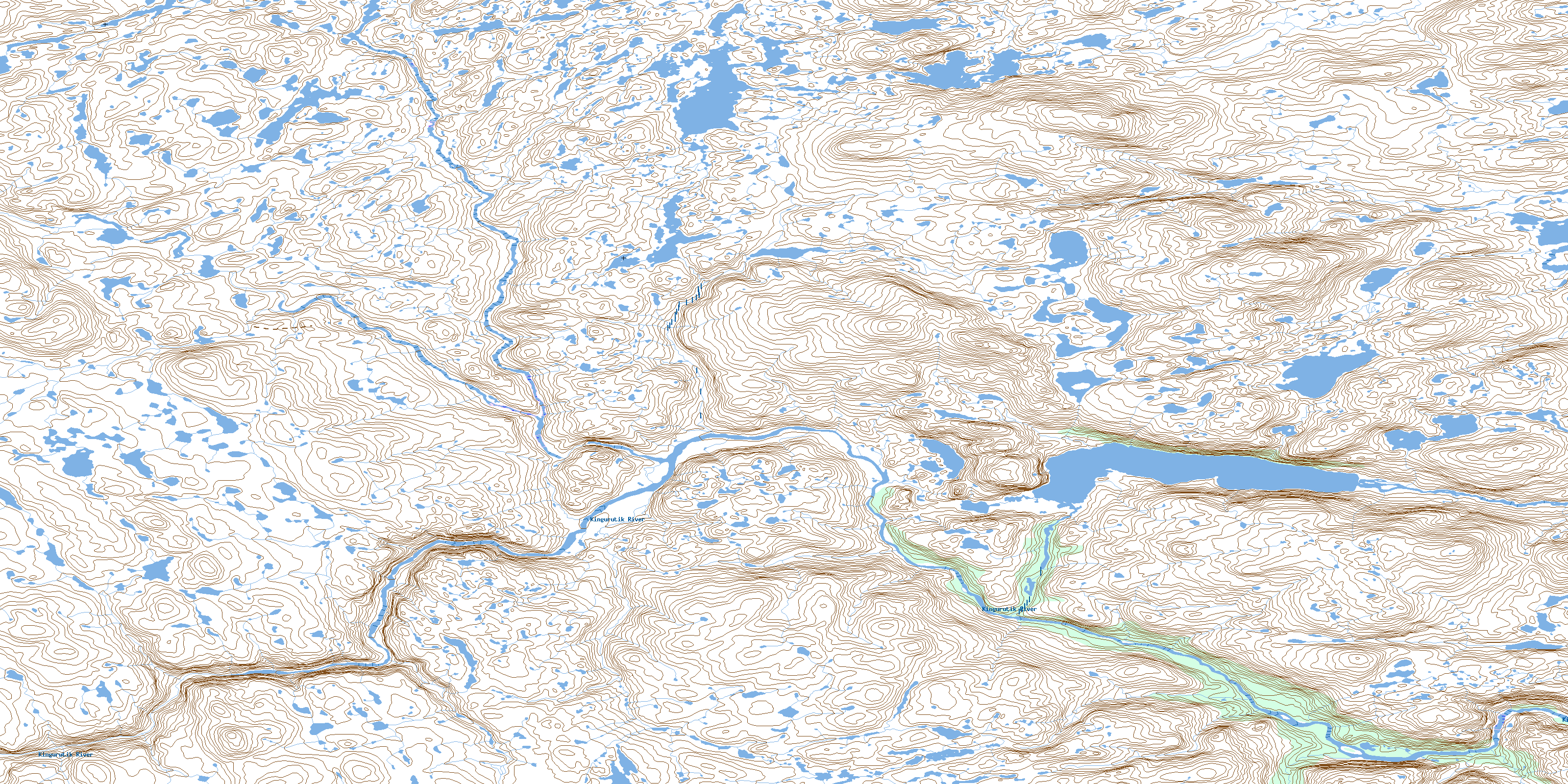
© Department of Natural Resources Canada. All rights reserved.
014E Related Maps:
014E North River014E01 Alliger Lake
014E02 Staghorn Lake
014E03 Siamarni Forks
014E04 Lac Navieres
014E05 Lac Pilliamet
014E06 No Title
014E07 Umiakovik Lake
014E08 Okak Bay
014E09 Wheeler Mountain
014E10 No Title
014E11 No Title
014E12 Lac Courdon
014E13 Lac Lomier
014E14 No Title
014E15 No Title
014E16 Finger Hill
