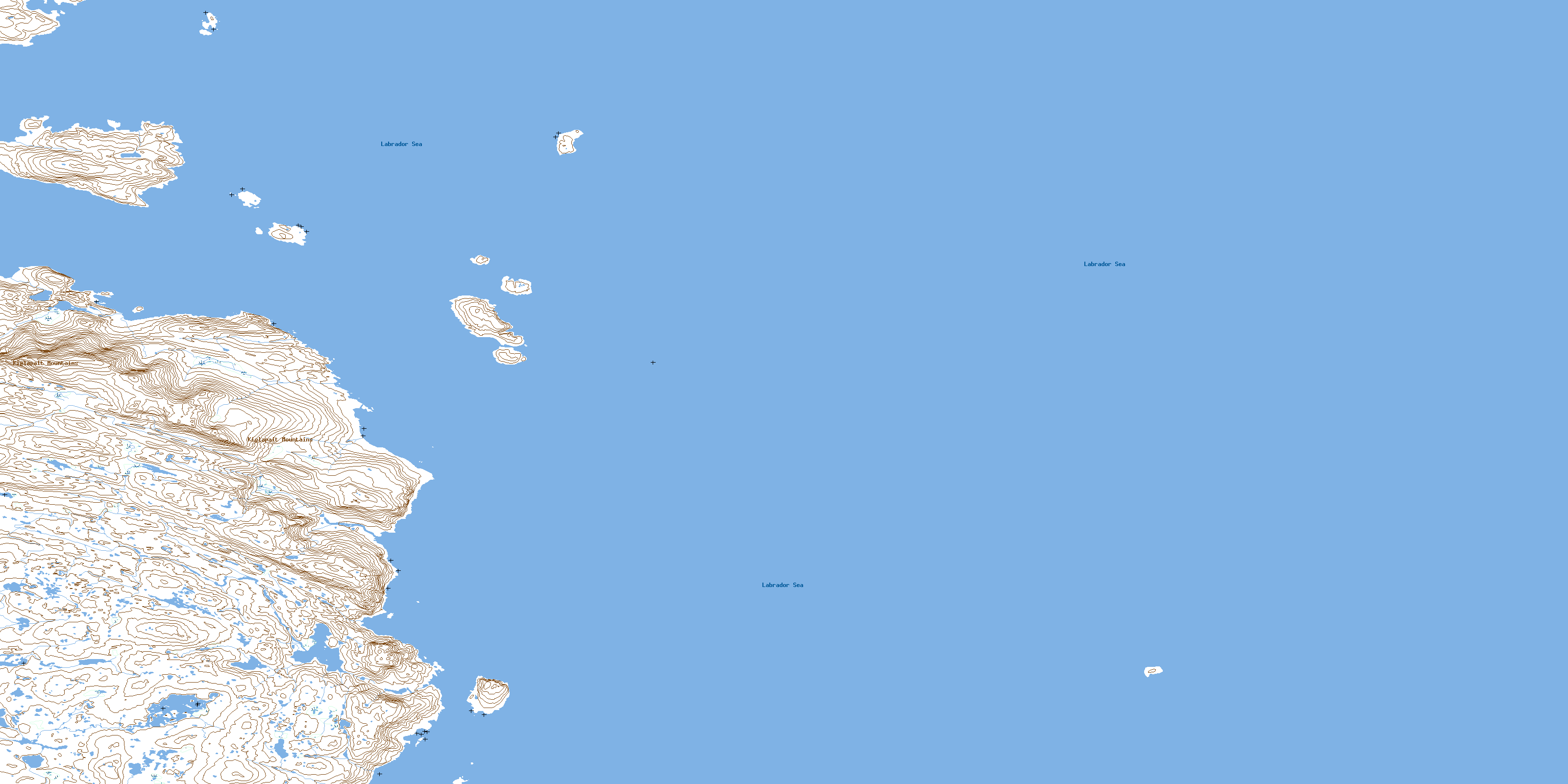
Cape Kiglapait Topo Map Online
Download Free Topo Map Sheet 014F03 at 1:50,000 scale
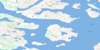
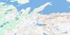
014F03 Cape Kiglapait Topo Map
To view this map, mouse over the map preview on the right.
You can also download this topo map for free:
014F03 Cape Kiglapait high-resolution topo map image.
Maps for the Cape Kiglapait topo map sheet 014F03 at 1:50,000 scale are also available in these versions:
Cape Kiglapait Surrounding Area Topo Maps
 |
|||
 |
 |
||
 |
 |
||
 |
 |
© Department of Natural Resources Canada. All rights reserved.
Cape Kiglapait Gazetteer
The following places can be found on topographic map sheet 014F03 Cape Kiglapait:
Cape Kiglapait Topo Map: Bays
Buckets BiteDawes Harbour
Perrys Gulch
Cape Kiglapait Topo Map: Capes
Cape KiglapaitCape Kiglapait Topo Map: Islands
Barnes IslandBarney Island
Beachy Island
Brewer Island
Fenstone Tickle Island
Graveyard Island
Kikiktaksoak Island
Marland Islands
Orphan Island
Sutton Island
Treat Island
Cape Kiglapait Topo Map: Mountains
Kiglapait MountainsCape Kiglapait Topo Map: Seas
Labrador SeaMer du Labrador
© Department of Natural Resources Canada. All rights reserved.
