Saglek Fiord Topo Map Online
Download Free Topo Map Sheet 014L06 at 1:50,000 scale
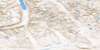
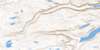
014L06 Saglek Fiord Topo Map
To view this map, mouse over the map preview on the right.
You can also download this topo map for free:
014L06 Saglek Fiord high-resolution topo map image.
Maps for the Saglek Fiord topo map sheet 014L06 at 1:50,000 scale are also available in these versions:
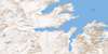
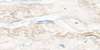
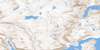
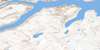
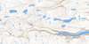
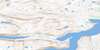
Saglek Fiord Surrounding Area Topo Maps
 |
 |
||
 |
 |
 |
|
 |
 |
 |
|
 |
 |
 |
 |
© Department of Natural Resources Canada. All rights reserved.
Saglek Fiord Gazetteer
The following places can be found on topographic map sheet 014L06 Saglek Fiord:
Saglek Fiord Topo Map: Bays
Kiyuktok CovePangertok Inlet
Saglek Fiord
Southwest Arm
Ugjuktok Fiord
West Arm
Saglek Fiord Topo Map: Capes
Silupait PointSaglek Fiord Topo Map: Islands
Branagin IslandSaglek Fiord Topo Map: Mountains
Mount PinguksoakTorngat Mountains
Torugak Mountains
Saglek Fiord Topo Map: Rivers
Nakvak Brook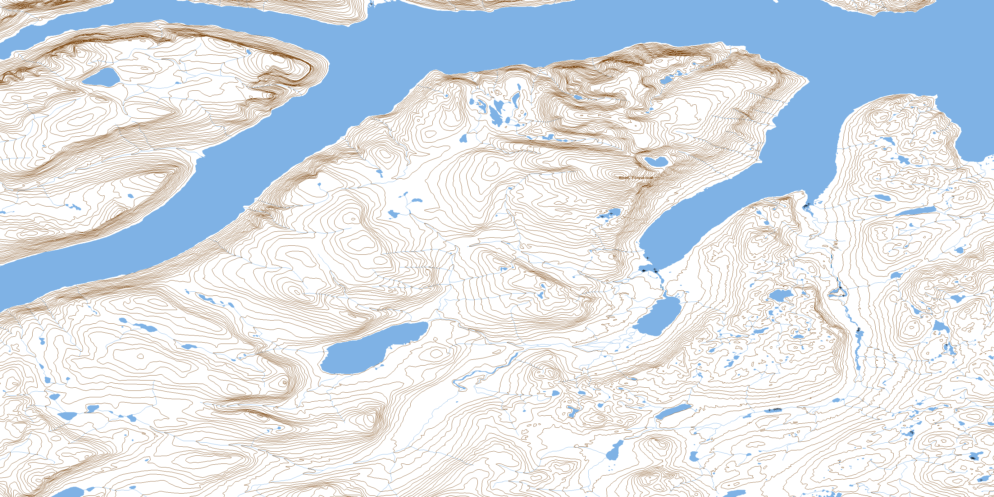
© Department of Natural Resources Canada. All rights reserved.
