Lac Des Iles Brulees Topo Map Online
Download Free Topo Map Sheet 022N12 at 1:50,000 scale
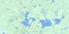
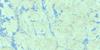
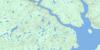
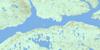
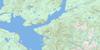
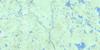
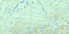
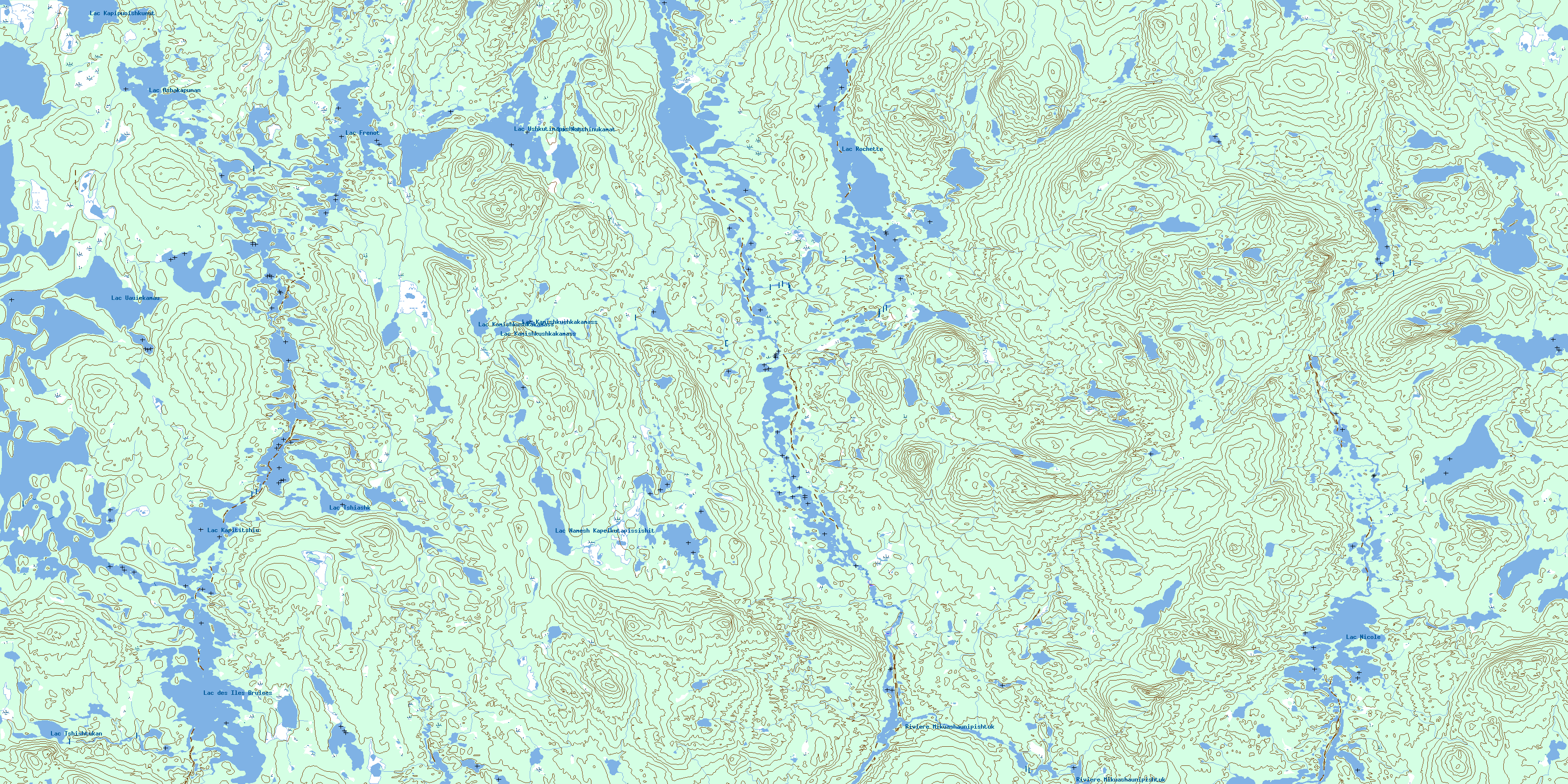
022N12 Lac Des Iles Brulees Topo Map
To view this map, mouse over the map preview on the right.
You can also download this topo map for free:
022N12 Lac Des Iles Brulees high-resolution topo map image.
Maps for the Lac Des Iles Brulees topo map sheet 022N12 at 1:50,000 scale are also available in these versions:
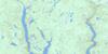
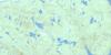
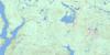
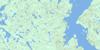
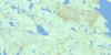
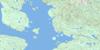
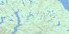
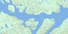
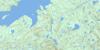
Lac Des Iles Brulees Surrounding Area Topo Maps
 |
 |
 |
 |
 |
 |
 |
 |
 |
 |
 |
 |
 |
 |
 |
 |
© Department of Natural Resources Canada. All rights reserved.
Lac Des Iles Brulees Gazetteer
The following places can be found on topographic map sheet 022N12 Lac Des Iles Brulees:
Lac Des Iles Brulees Topo Map: Geographical areas
AudubonDesruisseaux
Dion
Grandin
Hachin
Sénécal
Lac Des Iles Brulees Topo Map: Lakes
Lac AshakapunanLac Bibeau
Lac de la Tête d'Aigle
Lac des Îles Brûlées
Lac Frenot
Lac Kaishilipashtukut
Lac Kamishkushkakamass
Lac Kapipunishkueut
Lac Kapititshiu
Lac Katshinukamat
Lac Maraudeur
Lac Namesh Kapeikutapissishit
Lac Pérétibi
Lac Plat
Lac Plétipi
Lac Rochette
Lac Tshiashk
Lac Tshishtukan
Lac Uauiekamau
Lac Ushkutimapishkau
LacNicole
Lac Des Iles Brulees Topo Map: Rivers
Rivière à la TruiteRivière aux Outardes
Rivière Matonipi
Rivière Mikuashaunipishtuk
Ruisseau Kamishkushkakamass
Ruisseau Kanataueiau
Ruisseau Kapitauetiss
Ruisseau Matutitshan
Ruisseau Tshiashk
Lac Des Iles Brulees Topo Map: Road features
Portage KapitatshussPortage Kapitishishiu
Portage Kasseuekan
© Department of Natural Resources Canada. All rights reserved.
022N Related Maps:
022N Reservoir Manicouagan022N01 Lac Mathevet
022N02 Lac Lacoste
022N03 Lac Tetepisca
022N04 Riviere Tortueuse
022N05 Riviere Du Hibou
022N06 Riviere Utishku
022N07 Mont De Babel
022N08 Lac Lacoursiere
022N09 Riviere Hart Jaune
022N10 Lac Du Chaunoy
022N11 Lac Landriaux
022N12 Lac Des Iles Brulees
022N13 Lac Matonipi
022N14 Lac La Fouille
022N15 Lac Pecaudy
022N16 Lac Barbel
