Rannie Lake Topo Map Online
Download Free Topo Map Sheet 023G10 at 1:50,000 scale
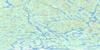
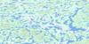
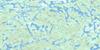
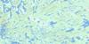
023G10 Rannie Lake Topo Map
To view this map, mouse over the map preview on the right.
You can also download this topo map for free:
023G10 Rannie Lake high-resolution topo map image.
Maps for the Rannie Lake topo map sheet 023G10 at 1:50,000 scale are also available in these versions:
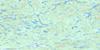
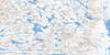
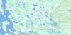
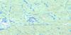
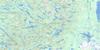
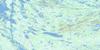
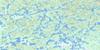
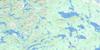
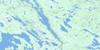
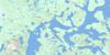
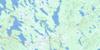
Rannie Lake Surrounding Area Topo Maps
 |
 |
 |
 |
 |
 |
 |
 |
 |
 |
 |
 |
 |
 |
 |
 |
© Department of Natural Resources Canada. All rights reserved.
Rannie Lake Gazetteer
The following places can be found on topographic map sheet 023G10 Rannie Lake:
Rannie Lake Topo Map: Lakes
Menihek LakesRannie Lake
Rannie Lake Topo Map: Mountains
Mount Albert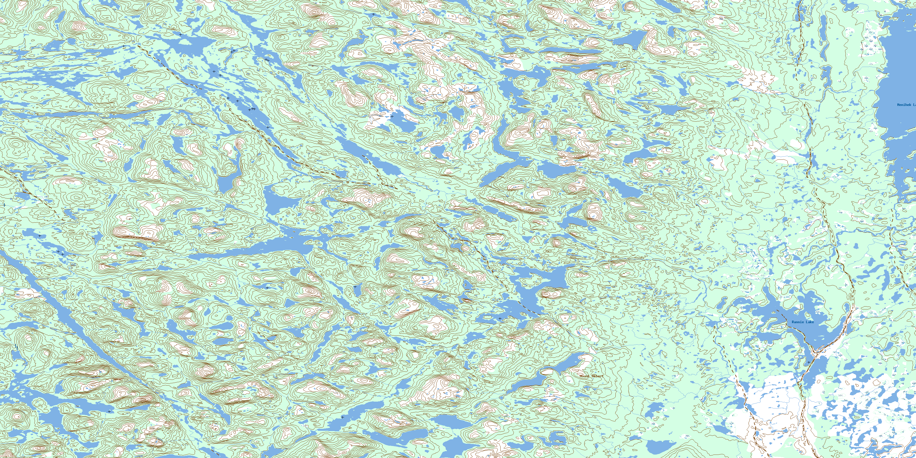
© Department of Natural Resources Canada. All rights reserved.
023G Related Maps:
023G Shabogamo Lake023G01 Wightman Lake
023G02 Wabush Lake
023G03 Lac Montenon
023G04E Lac Opiscotiche
023G04W Lac Opiscotiche
023G05E Lac Kerbodot
023G05W Lac Kerbodot
023G06 Lac Mingre
023G07 Sawbill Lake
023G08 Molson Lake
023G09 Evening Lake
023G10E Rannie Lake
023G10W Rannie Lake
023G11E Lac Bellenger
023G11W Lac Bellenger
023G12E Lac La Jannaye
023G12W Lac La Jannaye
023G13E Lac Descayrac
023G13W Lac Descayrac
023G14E Lac Prat
023G14W Lac Prat
023G15 Milner Lake
023G16 Tamarack River
