Cox Island Topo Map Online
Download Free Topo Map Sheet 034L10 at 1:50,000 scale
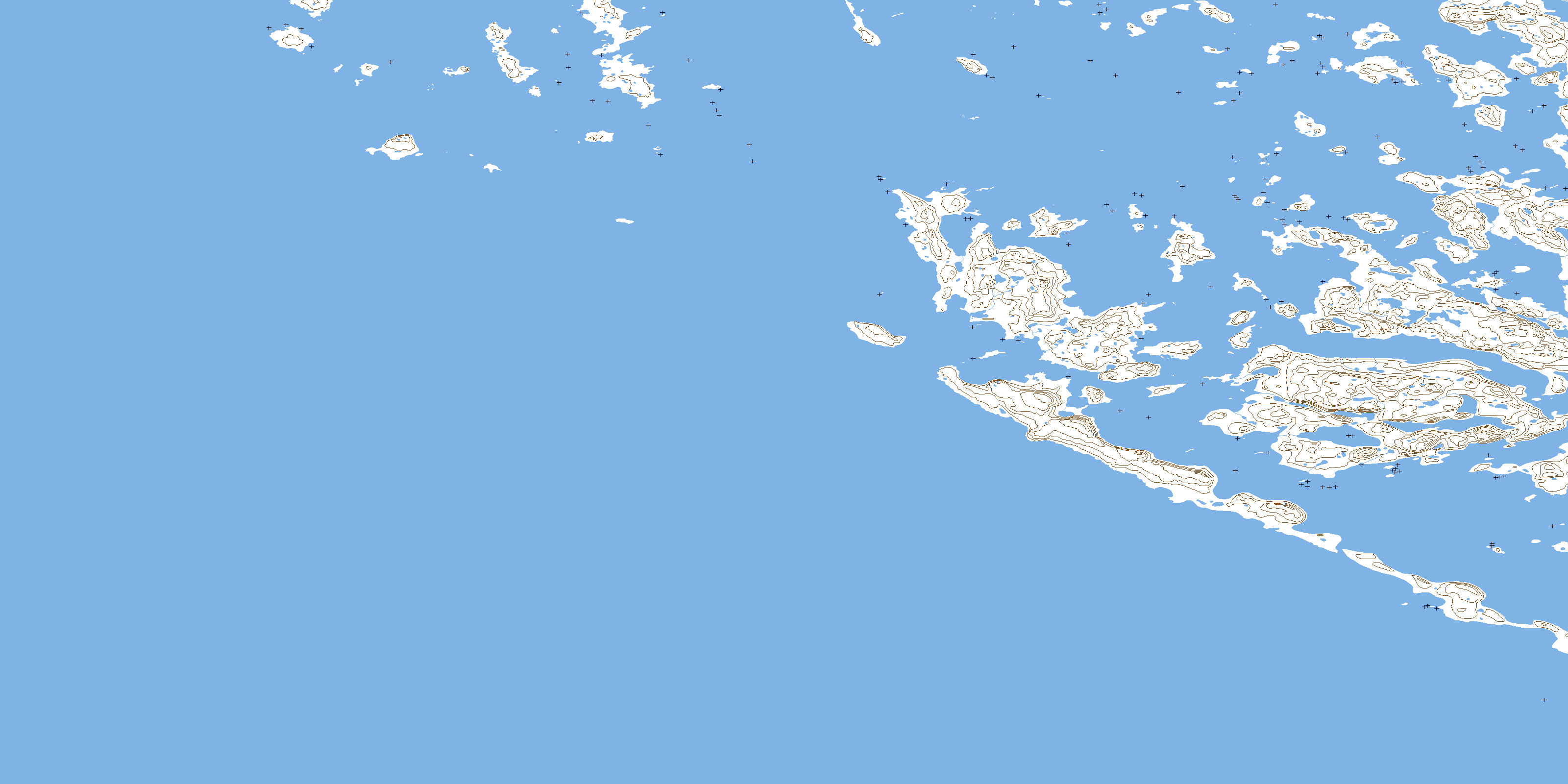
034L10 Cox Island Topo Map
To view this map, mouse over the map preview on the right.
You can also download this topo map for free:
034L10 Cox Island high-resolution topo map image.
Maps for the Cox Island topo map sheet 034L10 at 1:50,000 scale are also available in these versions:
Cox Island Surrounding Area Topo Maps
 |
 |
||
 |
 |
||
 |
|||
© Department of Natural Resources Canada. All rights reserved.
Cox Island Gazetteer
The following places can be found on topographic map sheet 034L10 Cox Island:
Cox Island Topo Map: Bays
Anse aux Pistes d'OursBaie Beartrack
Baie du Portage
Baie Tasiujaq
Beartrack Bay
Portage Bay
Cox Island Topo Map: Capes
Cape DufferinPéninsule Bates
Pointe Inussulik
Promontoire Portland
Cox Island Topo Map: Channels
Hopewell SoundPasse Hopewell
Polly Channel
Cox Island Topo Map: Islands
Bear Track IslandCache Island
Captain Island
Cox Island
Hopewell Islands
Hopkins Island
Îles Hopewell
Innaliit
Komaluk Islands
Levy Island
McCormack Island
Moore Island
Peckham Island
Ward Island
Whitney Island
© Department of Natural Resources Canada. All rights reserved.
