Bay Of Shoals Topo Map Online
Download Free Topo Map Sheet 046J12 at 1:50,000 scale
046J12 Bay Of Shoals Topo Map
To view this map, mouse over the map preview on the right.
You can also download this topo map for free:
046J12 Bay Of Shoals high-resolution topo map image.
Maps for the Bay Of Shoals topo map sheet 046J12 at 1:50,000 scale are also available in these versions:
Bay Of Shoals Surrounding Area Topo Maps
 |
 |
 |
 |
 |
 |
 |
 |
 |
 |
 |
|
 |
 |
© Department of Natural Resources Canada. All rights reserved.
Bay Of Shoals Gazetteer
The following places can be found on topographic map sheet 046J12 Bay Of Shoals:
Bay Of Shoals Topo Map: Bays
Bay of ShoalsFive Hawser Bay
Hoppner Inlet
Lyon Inlet
Bay Of Shoals Topo Map: Capes
Kiglavait PointMelville Peninsula
Safety Cove
Bay Of Shoals Topo Map: Islands
Ingnit IslandsBay Of Shoals Topo Map: Mountains
Pirusuilaq Hill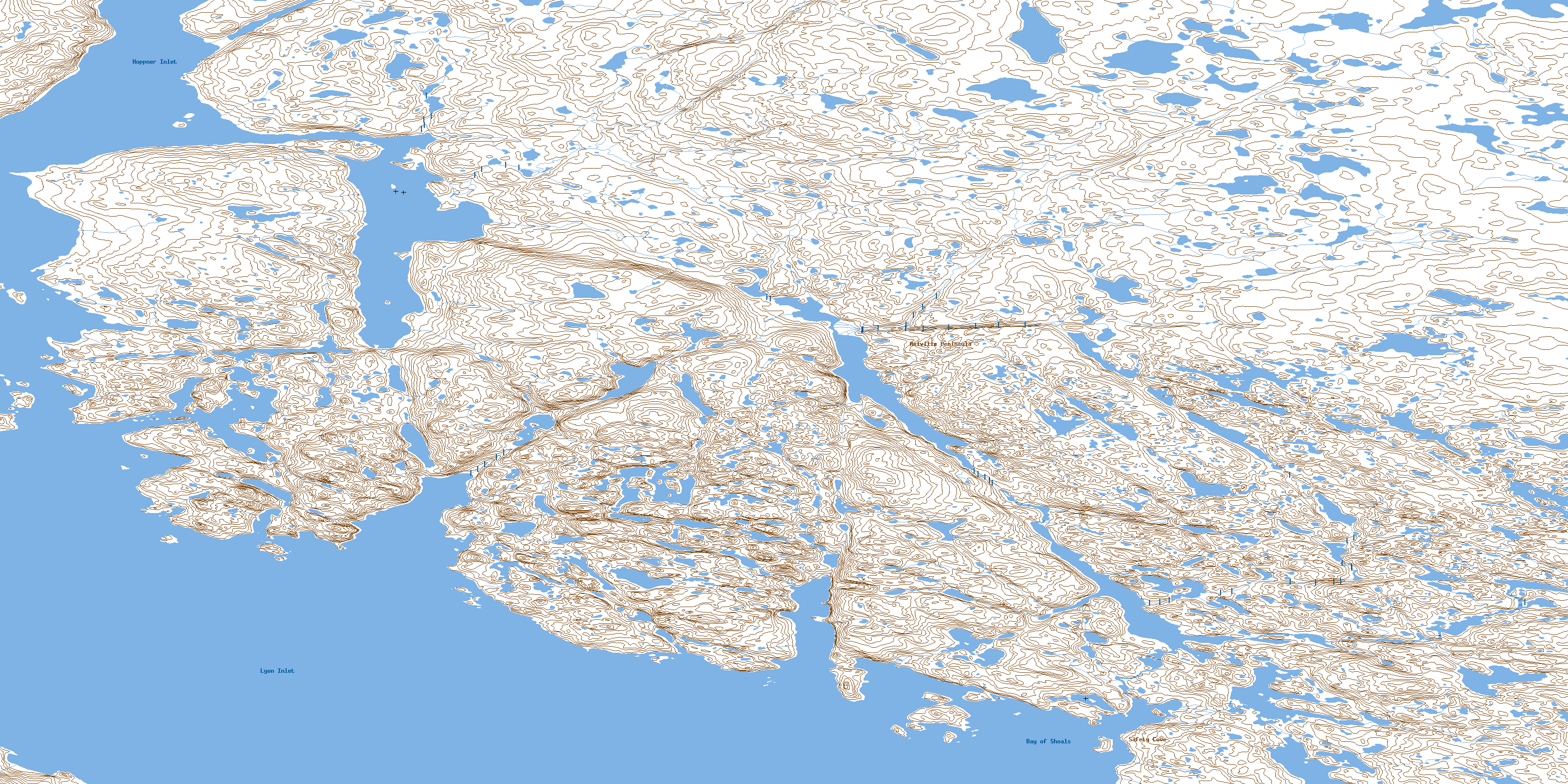
© Department of Natural Resources Canada. All rights reserved.
