Alfred Point Topo Map Online
Download Free Topo Map Sheet 048A09 at 1:50,000 scale
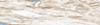
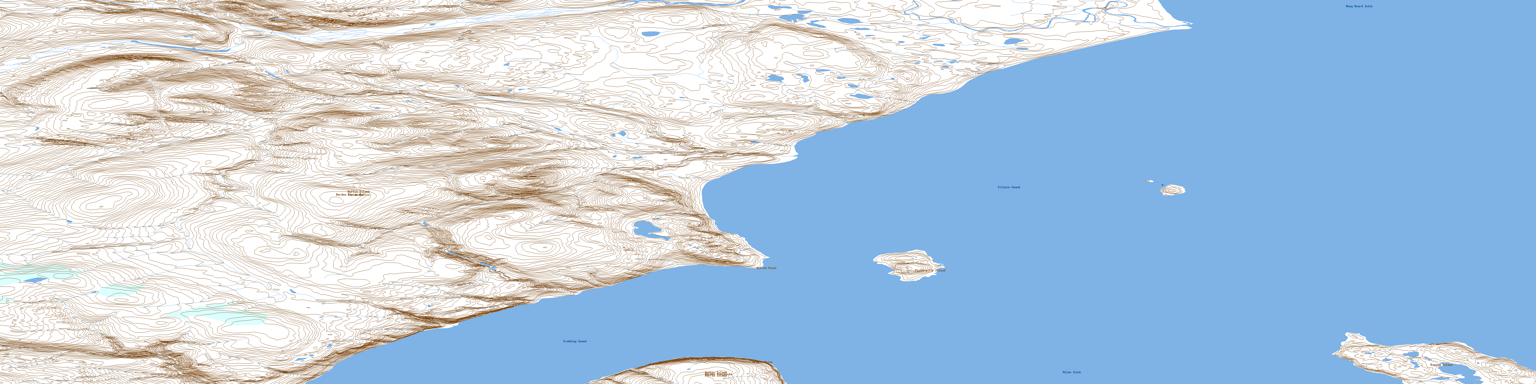
048A09 Alfred Point Topo Map
To view this map, mouse over the map preview on the right.
You can also download this topo map for free:
048A09 Alfred Point high-resolution topo map image.
Maps for the Alfred Point topo map sheet 048A09 at 1:50,000 scale are also available in these versions:
Alfred Point Surrounding Area Topo Maps
 |
|||
 |
 |
||
 |
 |
||
 |
© Department of Natural Resources Canada. All rights reserved.
Alfred Point Gazetteer
The following places can be found on topographic map sheet 048A09 Alfred Point:
Alfred Point Topo Map: Bays
Milne InletNavy Board Inlet
Alfred Point Topo Map: Capes
Alfred PointAthole Point
Borden Peninsula
Lavoie Point
Alfred Point Topo Map: Channels
Eclipse SoundTremblay Sound
Alfred Point Topo Map: Islands
Pisiktarfik IslandRagged Island
Alfred Point Topo Map: Mountains
Kiklilitavik MountainPrecipitous Mountains
© Department of Natural Resources Canada. All rights reserved.
