Cape Cunningham Topo Map Online
Download Free Topo Map Sheet 048B15 at 1:50,000 scale
048B15 Cape Cunningham Topo Map
To view this map, mouse over the map preview on the right.
You can also download this topo map for free:
048B15 Cape Cunningham high-resolution topo map image.
Maps for the Cape Cunningham topo map sheet 048B15 at 1:50,000 scale are also available in these versions:
Cape Cunningham Surrounding Area Topo Maps
 |
 |
||
 |
 |
||
 |
 |
||
© Department of Natural Resources Canada. All rights reserved.
Cape Cunningham Gazetteer
The following places can be found on topographic map sheet 048B15 Cape Cunningham:
Cape Cunningham Topo Map: Bays
Admiralty InletArctic Bay
Cape Cunningham Topo Map: Capes
Borden PeninsulaCape Cunningham
Holy Cross Point
Cape Cunningham Topo Map: Channels
Adams SoundCape Cunningham Topo Map: Islands
Peter Richards IslandsQikirtaukkat Islands
Cape Cunningham Topo Map: Lakes
Marcil LakeCape Cunningham Topo Map: Mountains
Qikirqtaukat Mountain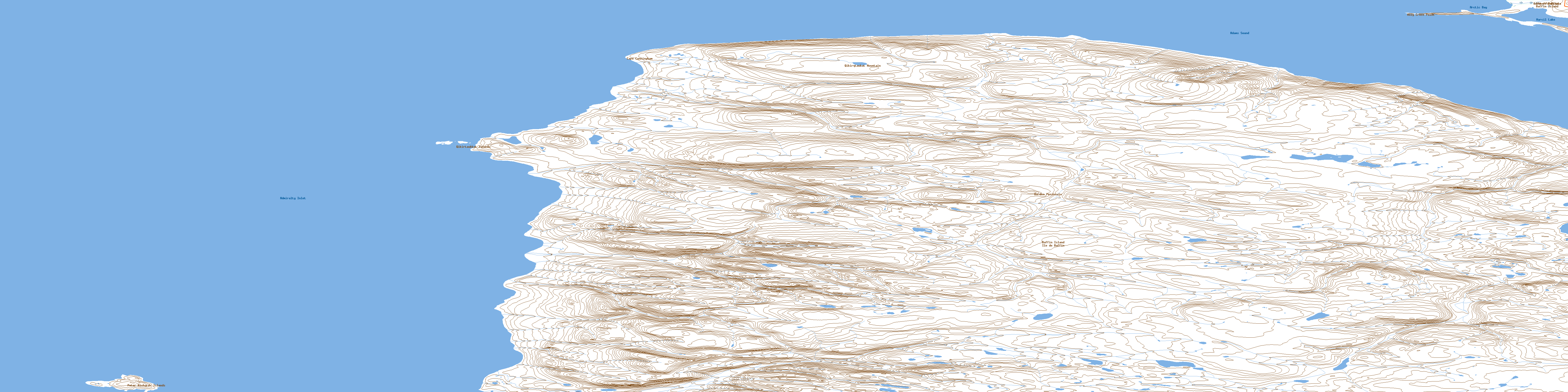
© Department of Natural Resources Canada. All rights reserved.
