Kekayaw River Topo Map Online
Download Free Topo Map Sheet 053N13 at 1:50,000 scale
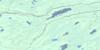
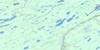
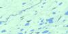
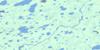
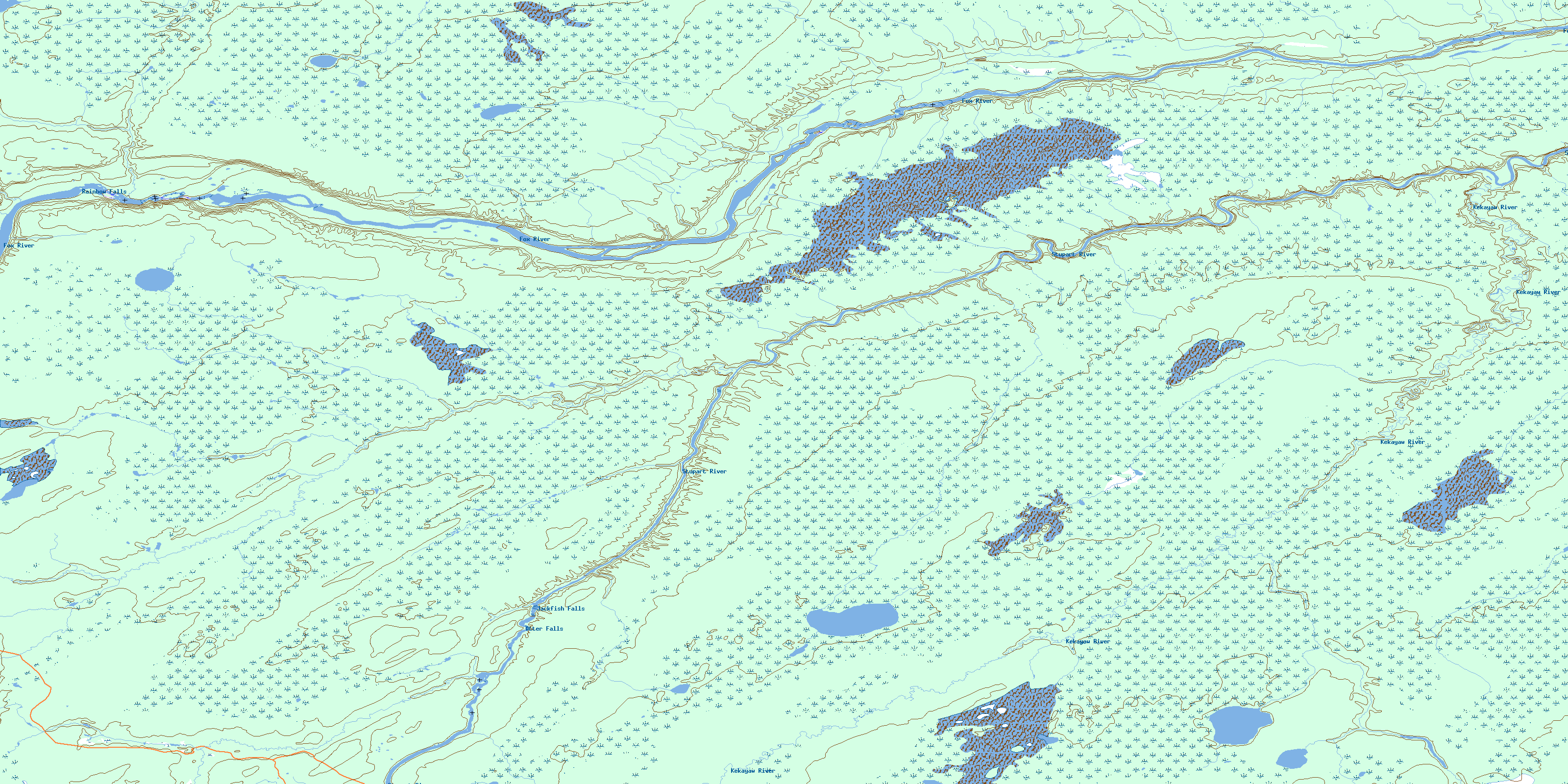
053N13 Kekayaw River Topo Map
To view this map, mouse over the map preview on the right.
You can also download this topo map for free:
053N13 Kekayaw River high-resolution topo map image.
Maps for the Kekayaw River topo map sheet 053N13 at 1:50,000 scale are also available in these versions:
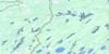
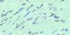
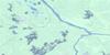
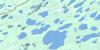
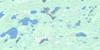
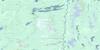
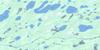
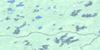
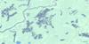
Kekayaw River Surrounding Area Topo Maps
 |
 |
 |
 |
 |
 |
 |
 |
 |
 |
 |
 |
 |
 |
 |
 |
© Department of Natural Resources Canada. All rights reserved.
Kekayaw River Gazetteer
The following places can be found on topographic map sheet 053N13 Kekayaw River:
Kekayaw River Topo Map: Falls
Jackfish FallsOtter Falls
Rainbow Falls
Kekayaw River Topo Map: Islands
William Wright IslandKekayaw River Topo Map: Rivers
Fox RiverHunter Creek
Kekayaw River
Stupart River
Whalen Creek
© Department of Natural Resources Canada. All rights reserved.
053N Related Maps:
053N Gods River053N01 No Title
053N02 Red Cross Lake
053N03 White Goose Lake
053N04 Semmens River
053N05 Oskatukaw Lake
053N06 Patch Lake
053N07 South Opuskiamishes
053N08 No Title
053N09 Deer Neck Island
053N10 East Niska Lake
053N11 Michiskan Lake
053N12 Kinosewkenaw Lake
053N13 Kekayaw River
053N14 Yakawosis Creek
053N15 No Title
053N16 Shamattawa
