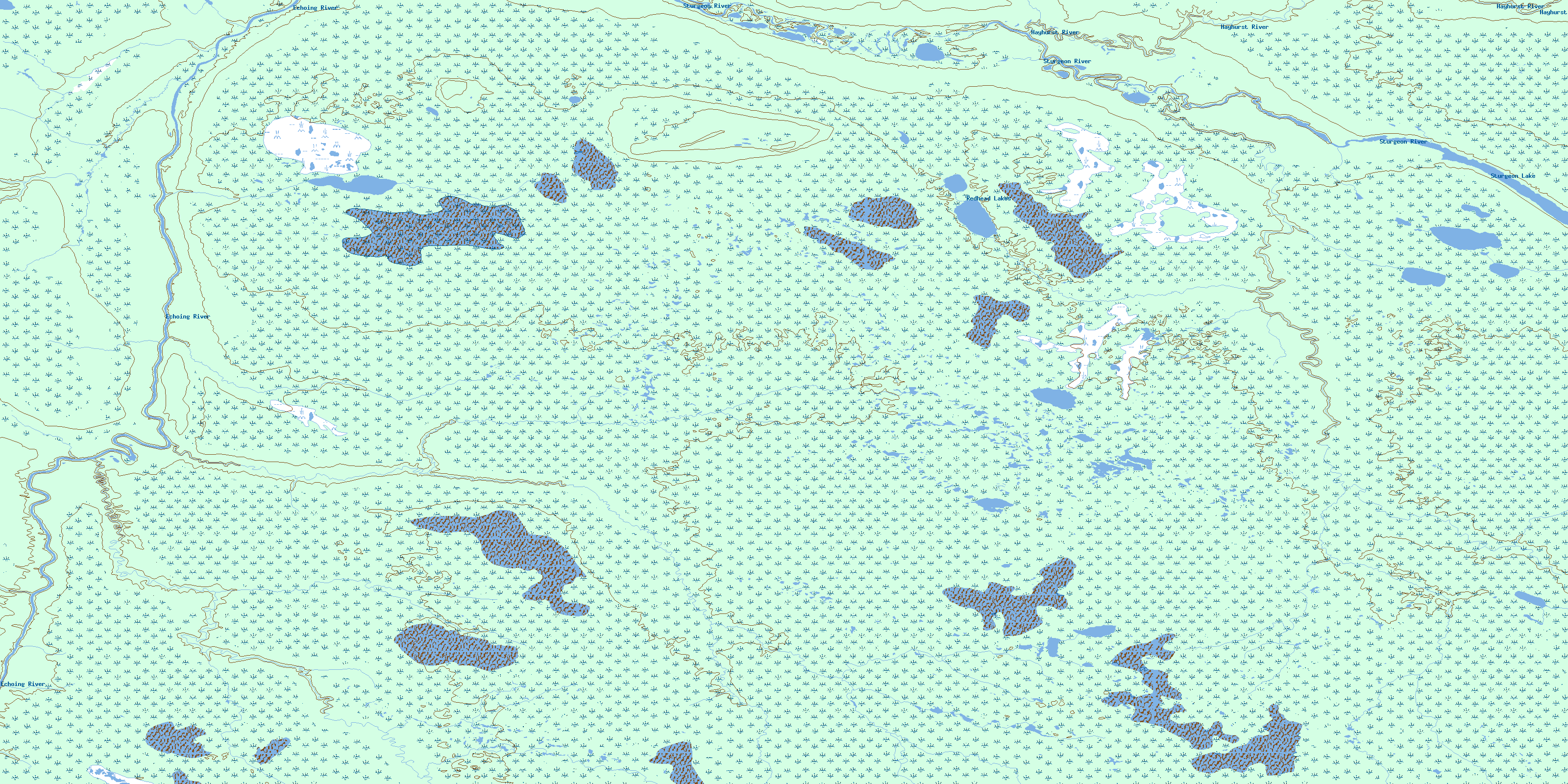
Redhead Lakes Topo Map Online
Download Free Topo Map Sheet 053O06 at 1:50,000 scale
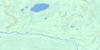
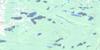
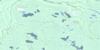
053O06 Redhead Lakes Topo Map
To view this map, mouse over the map preview on the right.
You can also download this topo map for free:
053O06 Redhead Lakes high-resolution topo map image.
Maps for the Redhead Lakes topo map sheet 053O06 at 1:50,000 scale are also available in these versions:
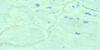
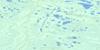
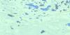
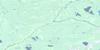
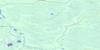
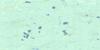
Redhead Lakes Surrounding Area Topo Maps
 |
 |
 |
 |
 |
 |
 |
|
 |
 |
||
 |
© Department of Natural Resources Canada. All rights reserved.
Redhead Lakes Gazetteer
The following places can be found on topographic map sheet 053O06 Redhead Lakes:
Redhead Lakes Topo Map: Lakes
Redhead LakesSturgeon Lake
Redhead Lakes Topo Map: Rivers
Echoing RiverHayhurst River
Hayhurst River
Isquitao Creek
Isquitao Creek
North Wanitawagao Creek
North Wanitawagao Creek
South Wanitawagao Creek
South Wanitawagao Creek
Sturgeon River
Sturgeon River
© Department of Natural Resources Canada. All rights reserved.
053O Related Maps:
053O Sturgeon Lake053O01 Keeskwabitchow Lake
053O02 No Title
053O03 Pasquatchai River
053O04 No Title
053O05 No Title
053O06 Redhead Lakes
053O07 Onigam Lake
053O08 No Title
053O09 No Title
053O10 No Title
053O11 Pechabau River
053O12 No Title
053O13 Peckinow River
053O14 No Title
053O15 Sombert Lake
053O16 Hosea Lake
