Bowser Island Topo Map Online
Download Free Topo Map Sheet 055N14 at 1:50,000 scale
055N14 Bowser Island Topo Map
To view this map, mouse over the map preview on the right.
You can also download this topo map for free:
055N14 Bowser Island high-resolution topo map image.
Maps for the Bowser Island topo map sheet 055N14 at 1:50,000 scale are also available in these versions:
Bowser Island Surrounding Area Topo Maps
 |
 |
 |
 |
 |
 |
 |
 |
 |
 |
 |
 |
 |
 |
 |
 |
© Department of Natural Resources Canada. All rights reserved.
Bowser Island Gazetteer
The following places can be found on topographic map sheet 055N14 Bowser Island:
Bowser Island Topo Map: Bays
Big BayChesterfield Inlet
Cross Bay
Terrace Bight
Bowser Island Topo Map: Capes
Big PointEtuksit Point
Flat Point
Peril Point
Terror Point
Bowser Island Topo Map: Islands
Bowser IslandDuncan Island
Horizon Islands
Long Island
Primrose Island
Round Island
Twin Pack Island
Walker Island
Bowser Island Topo Map: Rivers
Quoich River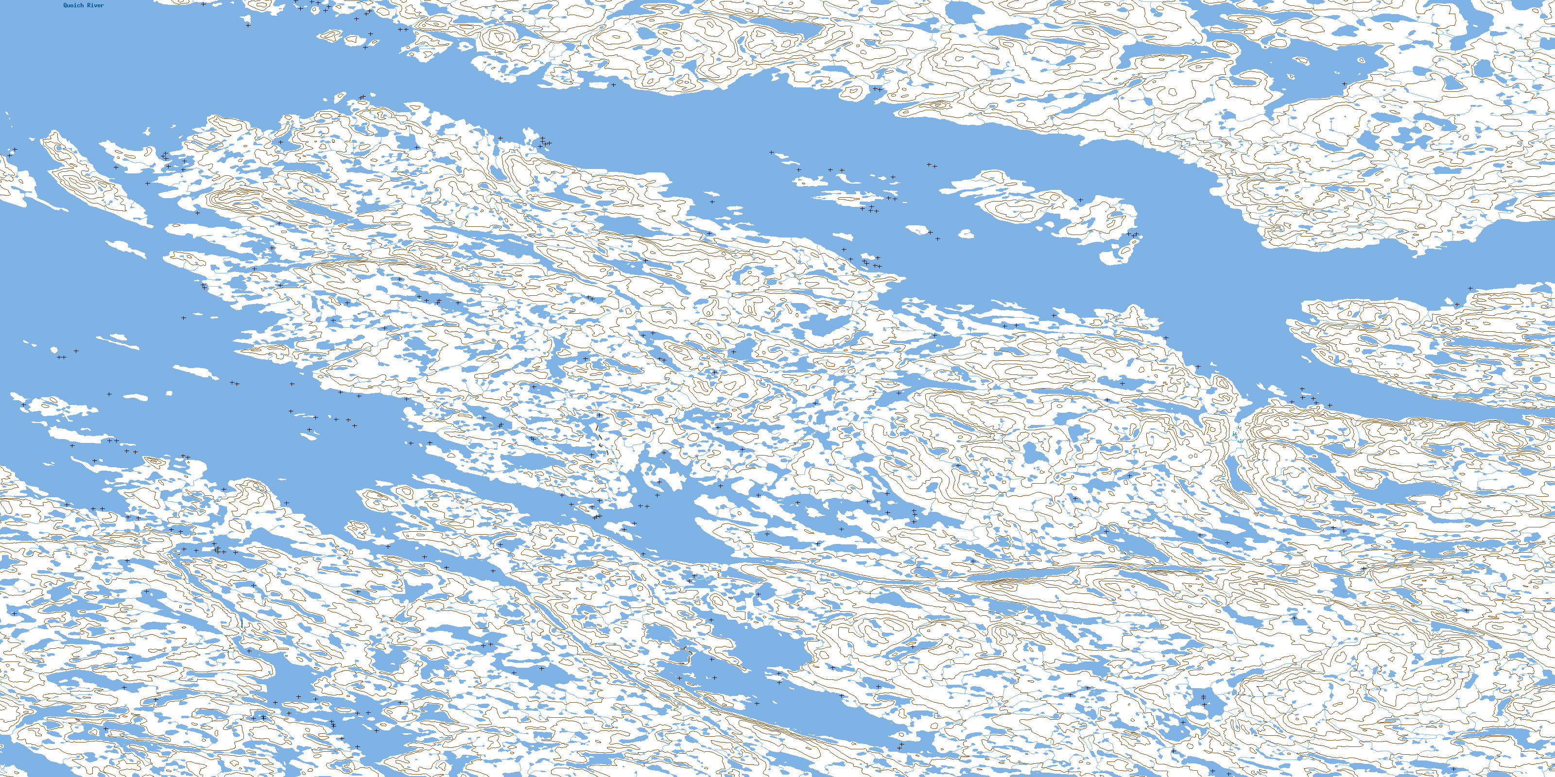
© Department of Natural Resources Canada. All rights reserved.
055N Related Maps:
055N Gibson Lake055N01 Meliadine Lake
055N02 No Title
055N03 No Title
055N04 No Title
055N05 No Title
055N06 Gibson Lake
055N07 No Title
055N08 Mcmanaman Lake
055N09 Barbour Bay
055N10 Butts Lake
055N11 No Title
055N12 No Title
055N13 Round Island
055N14 Bowser Island
055N15 Akunak Bay
055N16 Robinhood Bay
