Cape Maguire Topo Map Online
Download Free Topo Map Sheet 057G12 at 1:50,000 scale
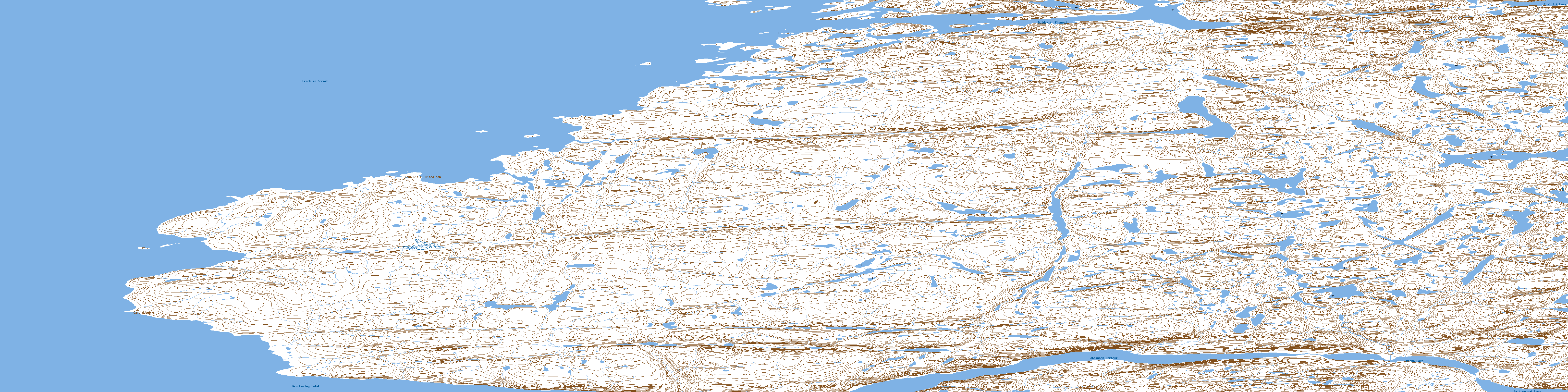
057G12 Cape Maguire Topo Map
To view this map, mouse over the map preview on the right.
You can also download this topo map for free:
057G12 Cape Maguire high-resolution topo map image.
Maps for the Cape Maguire topo map sheet 057G12 at 1:50,000 scale are also available in these versions:
Cape Maguire Surrounding Area Topo Maps
 |
 |
 |
|
 |
 |
 |
|
 |
 |
 |
|
 |
 |
 |
 |
© Department of Natural Resources Canada. All rights reserved.
Cape Maguire Gazetteer
The following places can be found on topographic map sheet 057G12 Cape Maguire:
Cape Maguire Topo Map: Bays
Pattinson HarbourCape Maguire Topo Map: Capes
Boothia PeninsulaCape Maguire
Cape Sir F. Nicholson
Cape Maguire Topo Map: Channels
Franklin StraitGoldsmith Channel
Cape Maguire Topo Map: Islands
Gibson IslandCape Maguire Topo Map: Lakes
Amituryouak LakeIqalulik Lake
Probe Lake
© Department of Natural Resources Canada. All rights reserved.
