Ward River Topo Map Online
Download Free Topo Map Sheet 058G04 at 1:50,000 scale
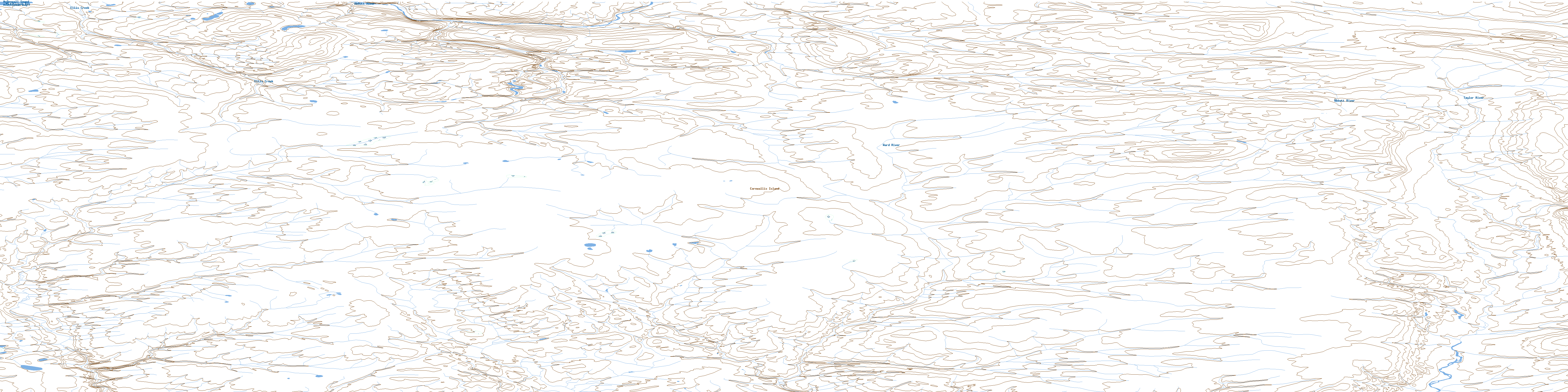
058G04 Ward River Topo Map
To view this map, mouse over the map preview on the right.
You can also download this topo map for free:
058G04 Ward River high-resolution topo map image.
Maps for the Ward River topo map sheet 058G04 at 1:50,000 scale are also available in these versions:
Ward River Surrounding Area Topo Maps
 |
 |
 |
|
 |
 |
 |
|
 |
 |
 |
 |
 |
 |
 |
 |
© Department of Natural Resources Canada. All rights reserved.
Ward River Gazetteer
The following places can be found on topographic map sheet 058G04 Ward River:
© Department of Natural Resources Canada. All rights reserved.
058G Related Maps:
058G Baillie-Hamilton Island058G01 Griffin Inlet
058G02 Separation Point
058G03 No Title
058G04 Ward River
058G05 Rookery Creek
058G06 Eleanor River
058G07 Helen Haven
058G08 Macormick Bay
058G09 Baring Bay
058G11 Maury Channel
058G12 Houston Stewart Island
058G13 Baring Island
058G14 Baillie-Hamilton Island
058G16 Owen Point
