Tullibee Lake Topo Map Online
Download Free Topo Map Sheet 063O07 at 1:50,000 scale
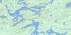
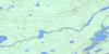
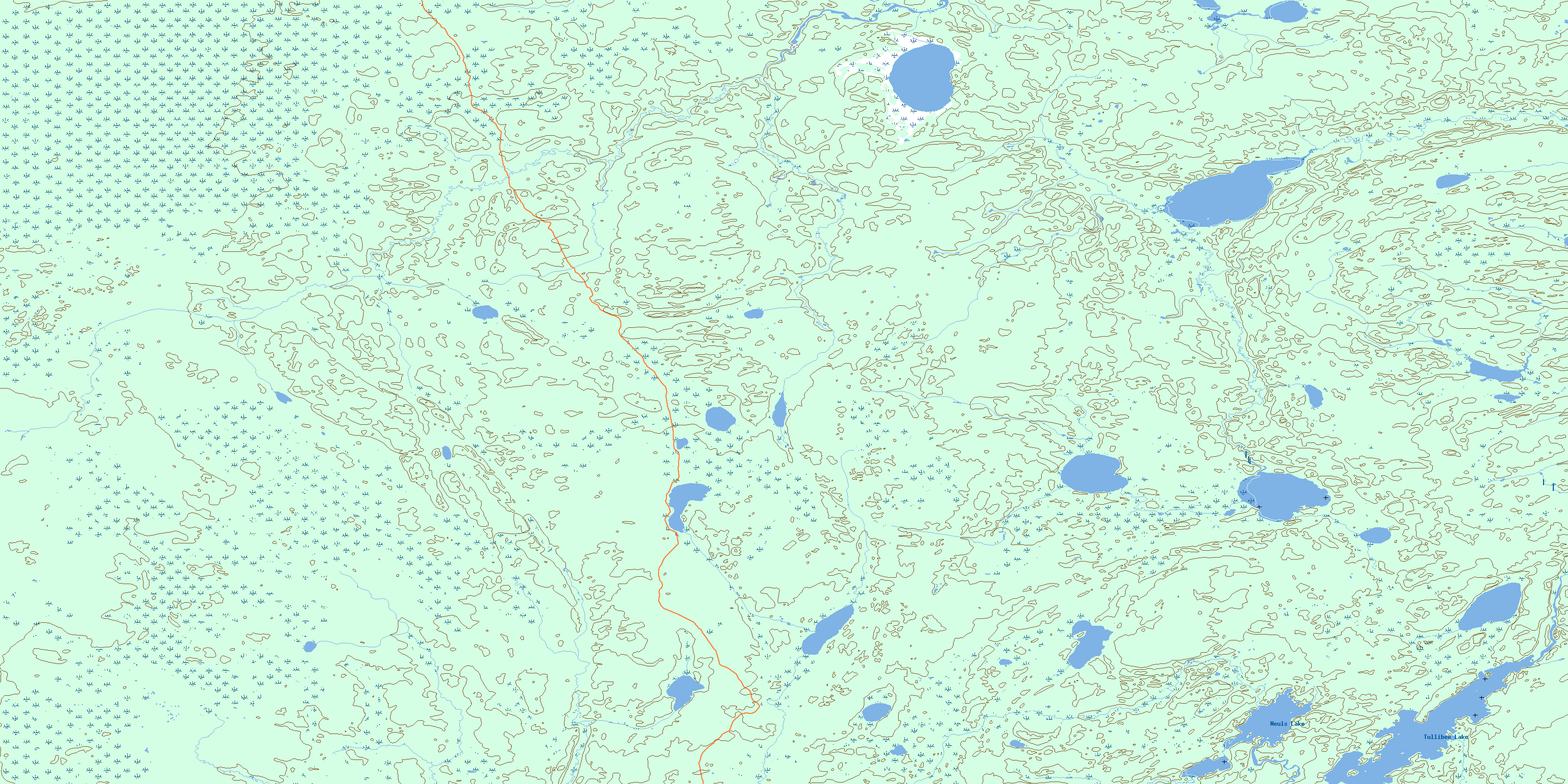
063O07 Tullibee Lake Topo Map
To view this map, mouse over the map preview on the right.
You can also download this topo map for free:
063O07 Tullibee Lake high-resolution topo map image.
Maps for the Tullibee Lake topo map sheet 063O07 at 1:50,000 scale are also available in these versions:
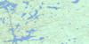
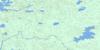
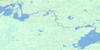
Tullibee Lake Surrounding Area Topo Maps
 |
 |
 |
 |
 |
 |
 |
 |
 |
 |
 |
 |
 |
 |
 |
 |
© Department of Natural Resources Canada. All rights reserved.
Tullibee Lake Gazetteer
The following places can be found on topographic map sheet 063O07 Tullibee Lake:
Tullibee Lake Topo Map: Lakes
Gustafson LakeHeathfield Lake
Neuls Lake
Opananaykaywuk Lake
Tullibee Lake
Wuskwatim Lake
Tullibee Lake Topo Map: Other municipal/district area - miscellaneous
Mystery LakeTullibee Lake Topo Map: Rivers
Collins CreekFerguson Creek
Taylor River
Wuskwatim Brook
© Department of Natural Resources Canada. All rights reserved.
063O Related Maps:
063O Nelson House063O01 Halfway Lake
063O02 Pistol Lake
063O03 Mcneill Lake
063O04 Wimapedi Lake
063O05 Parent Lake
063O06 Wimapedi River
063O07 Tullibee Lake
063O08 Hambone Lake
063O09 Ospwagan Lake
063O10 Wuskwatim Lake
063O11 Apeganau River
063O12 Apeganau Lake
063O13 Hall Lake
063O14 Wapisu Lake
063O15 Nelson House
063O16 Noble Lake
