Chipewyan Falls Topo Map Online
Download Free Topo Map Sheet 064K11 at 1:50,000 scale
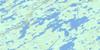
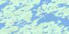
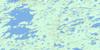
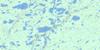
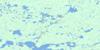
064K11 Chipewyan Falls Topo Map
To view this map, mouse over the map preview on the right.
You can also download this topo map for free:
064K11 Chipewyan Falls high-resolution topo map image.
Maps for the Chipewyan Falls topo map sheet 064K11 at 1:50,000 scale are also available in these versions:
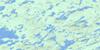
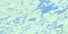
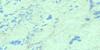
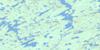
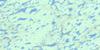
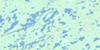
Chipewyan Falls Surrounding Area Topo Maps
 |
 |
 |
 |
 |
 |
 |
 |
 |
 |
 |
 |
 |
 |
 |
 |
© Department of Natural Resources Canada. All rights reserved.
Chipewyan Falls Gazetteer
The following places can be found on topographic map sheet 064K11 Chipewyan Falls:
Chipewyan Falls Topo Map: Bays
Wapatunisk BayChipewyan Falls Topo Map: Falls
Chipewyan FallsChipewyan Falls Topo Map: Indian Reserves
Lac Brochet 197AChipewyan Falls Topo Map: Islands
Keespak IslandChipewyan Falls Topo Map: Lakes
Antsanen LakeBarrett Lake
Berlin Lake
Bulachowski Lake
Charney Lake
Cunningham Lake
Deniset Lake
Dodgson Lake
Fidler Lake
Hogue Lake
Hullin Lake
Inutokinosayo Lake
Jacob Lake
Jarvis Lake
Kelso Lake
Lac Brochet
MacLean Lake
Maclean Lake
Mencini Lake
Niznick Lake
Orieux Lake
Peacey Lake
Peacey Lake
Sandy Hill Lake
Thuycholeeni Lake
Wilf Lake
Willems Lake
Chipewyan Falls Topo Map: Rivers
Cochrane RiverTinndal Creek
Chipewyan Falls Topo Map: Unincorporated areas
Lac Brochet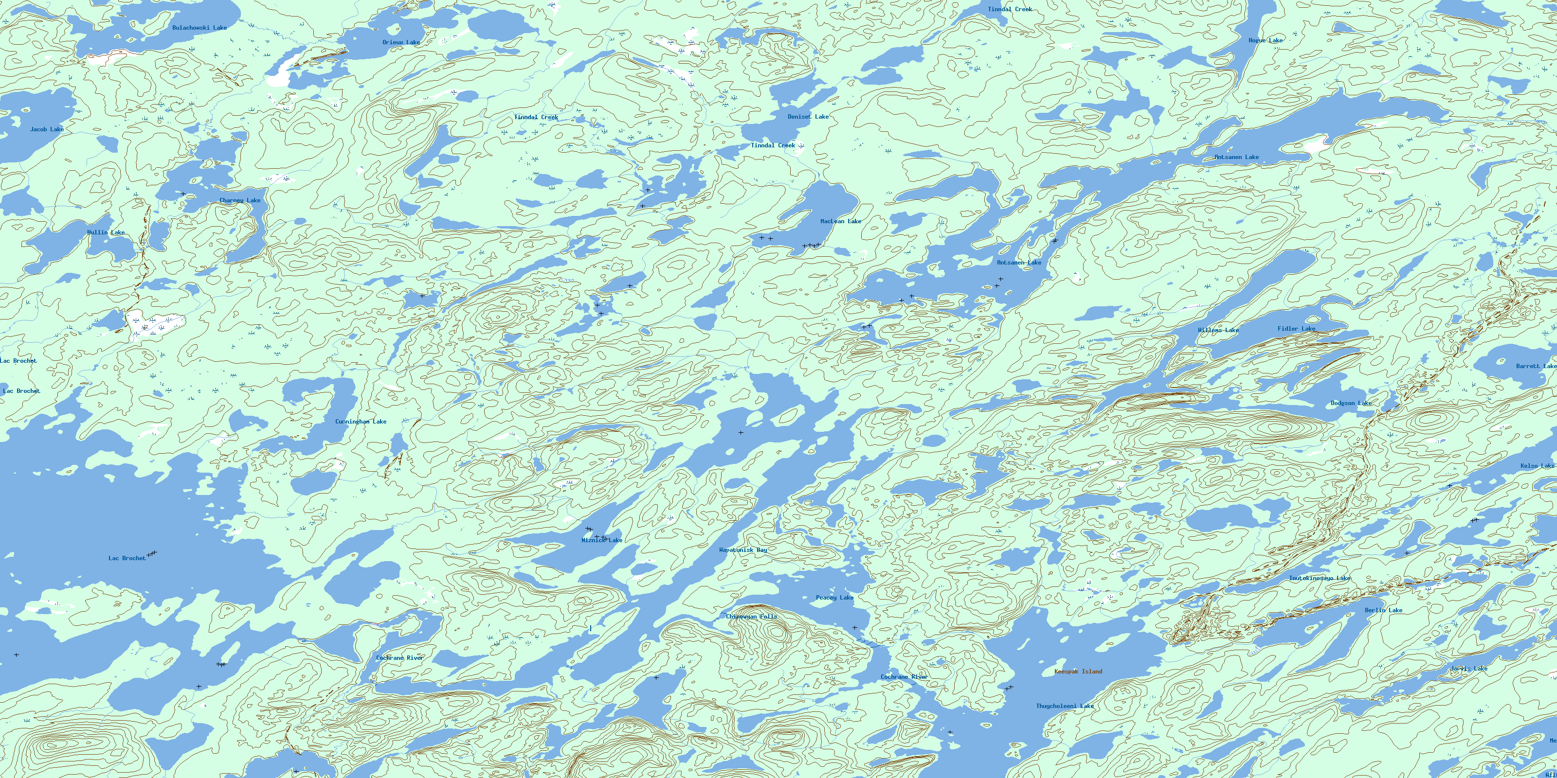
© Department of Natural Resources Canada. All rights reserved.
064K Related Maps:
064K Whiskey Jack Lake064K01 Chartrand Lake
064K02 Ducharme Lake
064K03 Easton Lake
064K04 Engen Lake
064K05 Whiskey Jack Lake
064K06 Fagnan Lake
064K07 Morrow Lake
064K08 Dechief Lake
064K09 Pangman Lake
064K10 Paulson Lake
064K11 Chipewyan Falls
064K12 Lac Brochet
064K13 Misty Lake
064K14 Rutledge Lake
064K15 Chatwin Lake
064K16 Stevens Lake
