Indian Camp Island Topo Map Online
Download Free Topo Map Sheet 065B04 at 1:50,000 scale
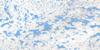
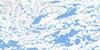
065B04 Indian Camp Island Topo Map
To view this map, mouse over the map preview on the right.
You can also download this topo map for free:
065B04 Indian Camp Island high-resolution topo map image.
Maps for the Indian Camp Island topo map sheet 065B04 at 1:50,000 scale are also available in these versions:
Indian Camp Island Surrounding Area Topo Maps
 |
 |
 |
 |
 |
 |
 |
 |
 |
 |
 |
 |
 |
 |
 |
 |
© Department of Natural Resources Canada. All rights reserved.
Indian Camp Island Gazetteer
The following places can be found on topographic map sheet 065B04 Indian Camp Island:
Indian Camp Island Topo Map: Bays
Hearne BayIndian Camp Island Topo Map: Channels
Nueltin NarrowsIndian Camp Island Topo Map: Islands
Boundary IslandIndian Camp Island
Indian Camp Island Topo Map: Lakes
Nueltin LakeSandybeach Lake
Windy Lake
Indian Camp Island Topo Map: Mountains
Magee HillIndian Camp Island Topo Map: Rivers
Thlewiaza River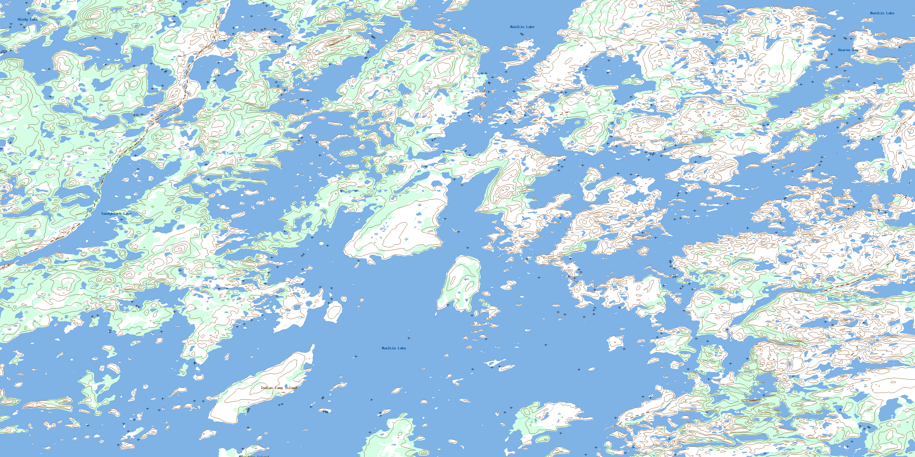
© Department of Natural Resources Canada. All rights reserved.
065B Related Maps:
065B Nueltin Lake065B01 Trebell Lake
065B02 Whitefish Lake
065B03 Laderoute Lake
065B04 Indian Camp Island
065B05 Esker Island
065B06 No Title
065B07 Mcaleese Lake
065B08 No Title
065B09 Portage Rapids
065B10 Dutcher Lake
065B11 Hammerhead Bay
065B12 Josies Hill
065B13 No Title
065B14 Burial Hill
065B15 Sealhole Lake
065B16 White Cliff Lake
