Cape Adelaide Topo Map Online
Download Free Topo Map Sheet 067C07 at 1:50,000 scale
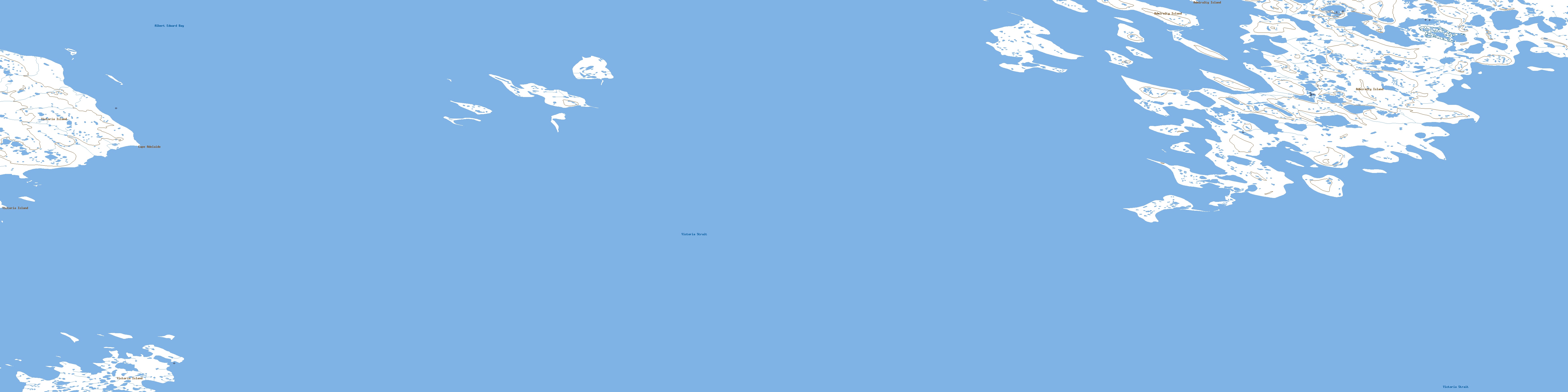
067C07 Cape Adelaide Topo Map
To view this map, mouse over the map preview on the right.
You can also download this topo map for free:
067C07 Cape Adelaide high-resolution topo map image.
Maps for the Cape Adelaide topo map sheet 067C07 at 1:50,000 scale are also available in these versions:
Cape Adelaide Surrounding Area Topo Maps
 |
 |
 |
 |
 |
 |
 |
 |
 |
 |
 |
 |
 |
 |
 |
 |
© Department of Natural Resources Canada. All rights reserved.
Cape Adelaide Gazetteer
The following places can be found on topographic map sheet 067C07 Cape Adelaide:
Cape Adelaide Topo Map: Bays
Albert Edward BayCape Adelaide Topo Map: Capes
Cape AdelaideCape Adelaide Topo Map: Channels
Victoria StraitCape Adelaide Topo Map: Islands
Admiralty IslandVictoria Island
© Department of Natural Resources Canada. All rights reserved.
067C Related Maps:
067C Admiralty Island067C01E No Title
067C01W No Title
067C02 Taylor Island
067C03 No Title
067C04 No Title
067C05 No Title
067C06 No Title
067C07 Cape Adelaide
067C08 Driftwood Point
067C09 No Title
067C10 Cape Alfred
067C11 No Title
067C12 Nakashook Lake
067C13 No Title
067C14 No Title
067C15 No Title
067C16 John Halkett Island
