Leader Topo Map Online
Download Free Topo Map Sheet 072K13 at 1:50,000 scale
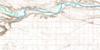
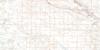
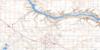
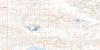
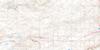
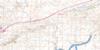
072K13 Leader Topo Map
To view this map, mouse over the map preview on the right.
You can also download this topo map for free:
072K13 Leader high-resolution topo map image.
Maps for the Leader topo map sheet 072K13 at 1:50,000 scale are also available in these versions:
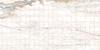
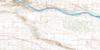
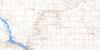
Leader Surrounding Area Topo Maps
 |
 |
 |
 |
 |
 |
 |
 |
 |
 |
 |
 |
 |
 |
 |
 |
© Department of Natural Resources Canada. All rights reserved.
Leader Gazetteer
The following places can be found on topographic map sheet 072K13 Leader:
Leader Topo Map: Islands
Allan IslandEbenau Island
McLean Island
Leader Topo Map: Mountains
Bulls ForeheadLeader Topo Map: Other municipal/district area - miscellaneous
Chesterfield No. 261Deer Forks No. 232
Happyland No. 231
Leader Topo Map: Rivers
Alkali CreekRed Deer River
Rivière Saskatchewan Sud
South Saskatchewan River
Leader Topo Map: River features
Red Deer ForksLeader Topo Map: Towns
LeaderPrussia
Leader Topo Map: Unincorporated areas
EstuaryWesterham
Leader Topo Map: Villages
Mendham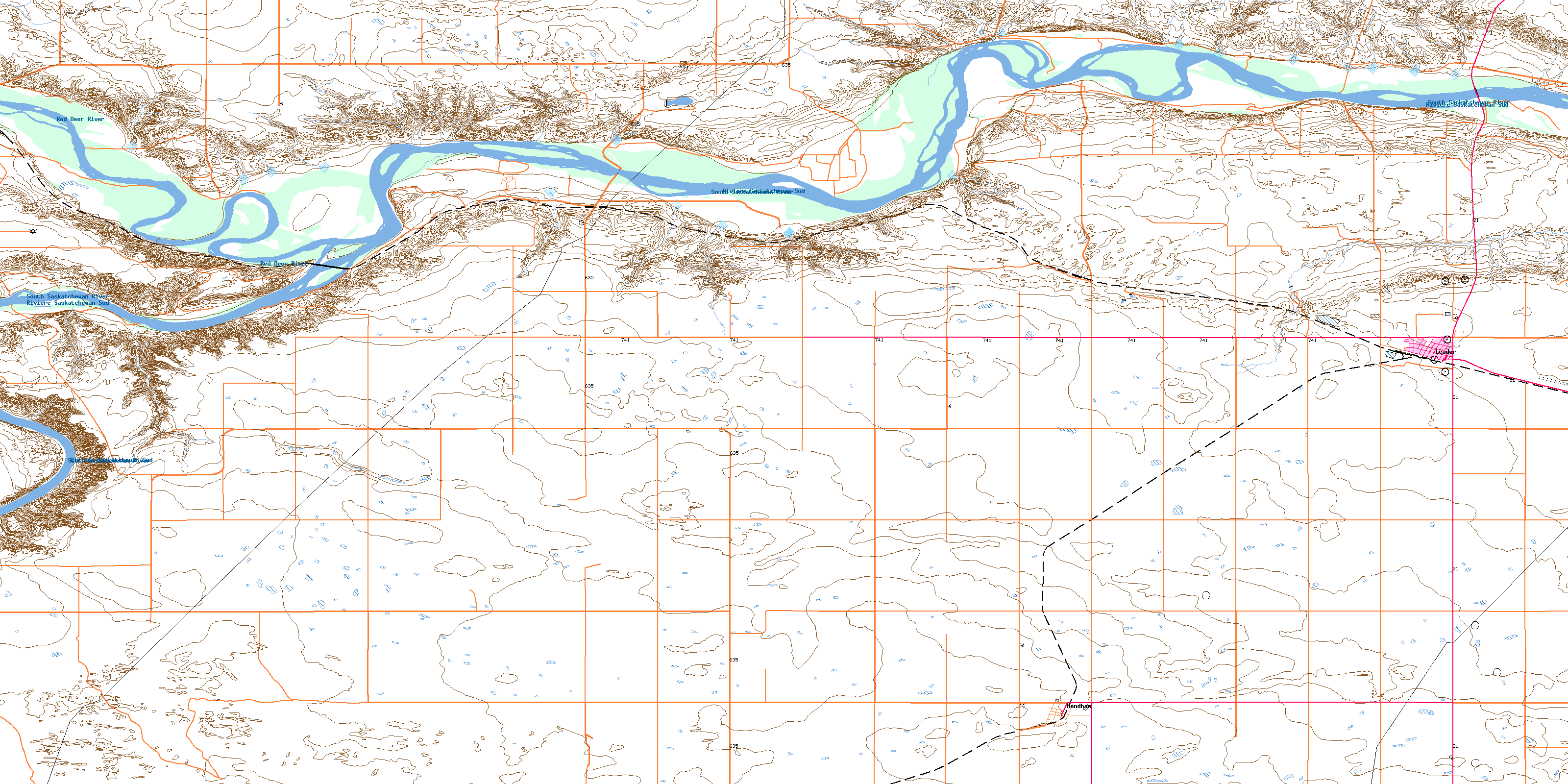
© Department of Natural Resources Canada. All rights reserved.
