Burbidge Lake Topo Map Online
Download Free Topo Map Sheet 074A14 at 1:50,000 scale
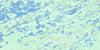
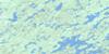
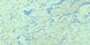
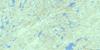
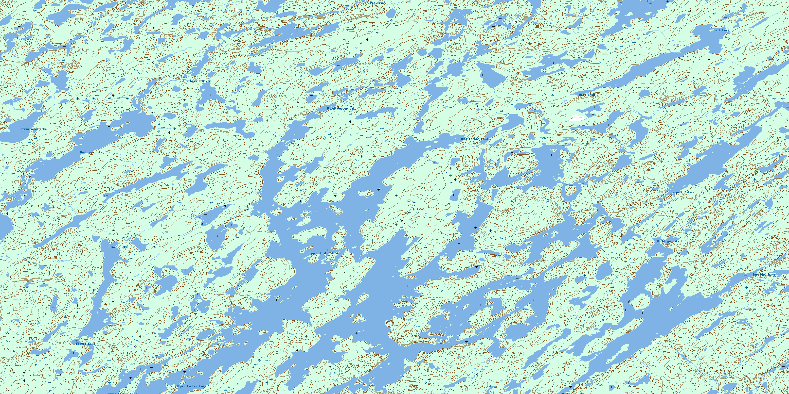
074A14 Burbidge Lake Topo Map
To view this map, mouse over the map preview on the right.
You can also download this topo map for free:
074A14 Burbidge Lake high-resolution topo map image.
Maps for the Burbidge Lake topo map sheet 074A14 at 1:50,000 scale are also available in these versions:
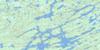
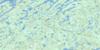
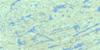
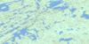
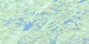
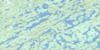
Burbidge Lake Surrounding Area Topo Maps
 |
 |
 |
 |
 |
 |
 |
 |
 |
 |
 |
 |
 |
 |
 |
 |
© Department of Natural Resources Canada. All rights reserved.
Burbidge Lake Gazetteer
The following places can be found on topographic map sheet 074A14 Burbidge Lake:
Burbidge Lake Topo Map: Bays
Thomson BayBurbidge Lake Topo Map: Capes
Argue PeninsulaBurbidge Lake Topo Map: Islands
Burnard IslandMiller Island
Partridge Island
Burbidge Lake Topo Map: Lakes
Burbidge LakeFlavel Lake
Hastings Lake
Neil Lake
Perwiznuik Lake
Rupert Lake
Upper Foster Lake
Burbidge Lake Topo Map: Rivers
Geikie RiverWathaman River
© Department of Natural Resources Canada. All rights reserved.
074A Related Maps:
074A Upper Foster Lake074A01 Maribelli Lake
074A02 Paull Lake
074A03 Nagle Lake
074A04 Hewetson Lake
074A05 Pylypow Lake
074A06 Barnett Lake
074A07 Rottenstone Lake
074A08 Hickson Lake
074A09 Deception Lake
074A10 Dobbin Lake
074A11 Middle Foster Lake
074A12 Daly Lake
074A13 Costigan Lake
074A14 Burbidge Lake
074A15 Pendleton Lake
074A16 Jewell Lake
