Studer Lake Topo Map Online
Download Free Topo Map Sheet 074B03 at 1:50,000 scale
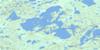
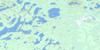
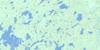
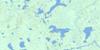
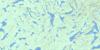
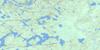
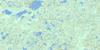
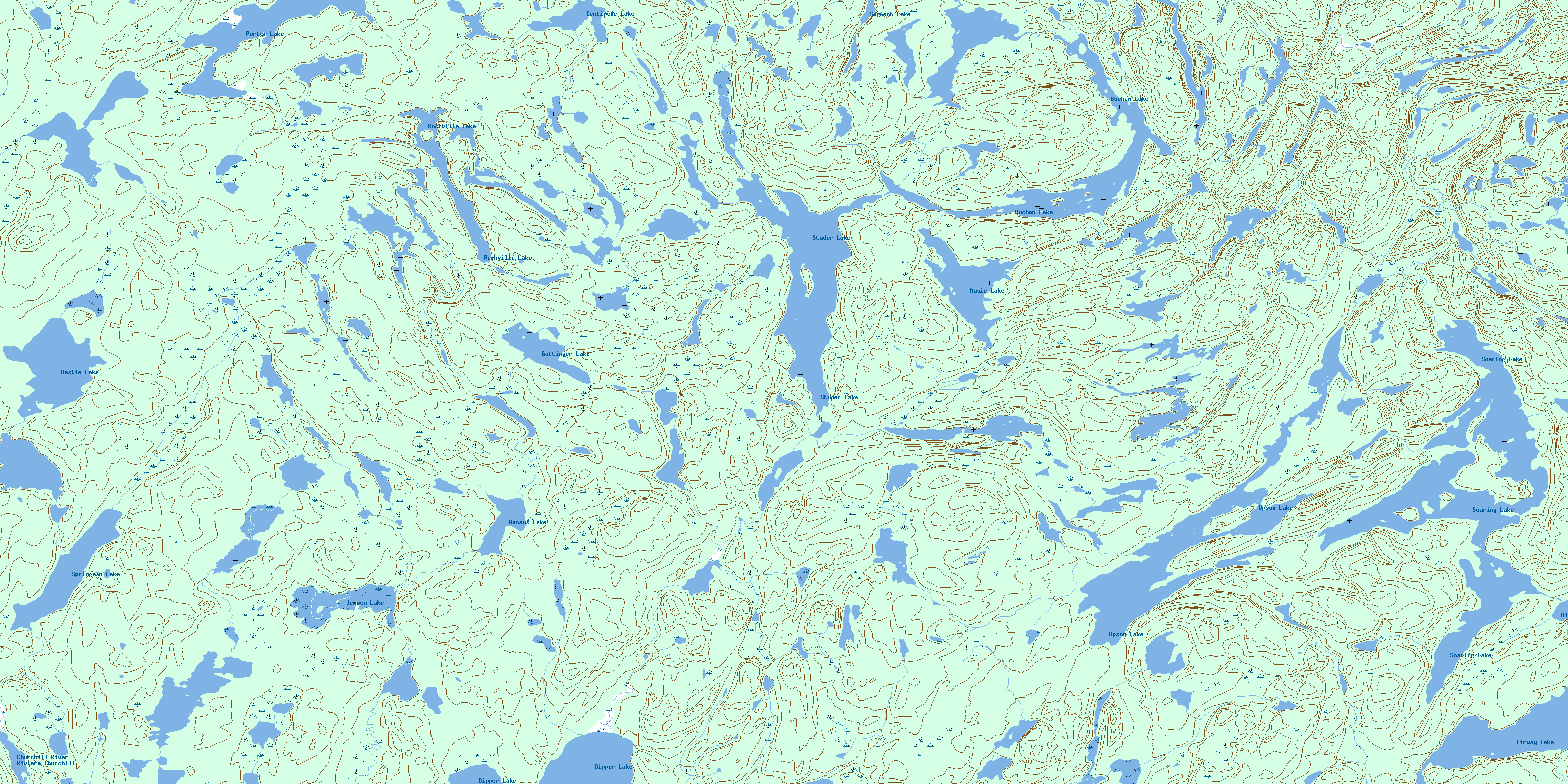
074B03 Studer Lake Topo Map
To view this map, mouse over the map preview on the right.
You can also download this topo map for free:
074B03 Studer Lake high-resolution topo map image.
Maps for the Studer Lake topo map sheet 074B03 at 1:50,000 scale are also available in these versions:
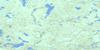
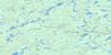
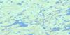
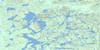
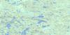
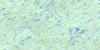
Studer Lake Surrounding Area Topo Maps
 |
 |
 |
 |
 |
 |
 |
 |
 |
 |
 |
 |
 |
 |
 |
 |
© Department of Natural Resources Canada. All rights reserved.
Studer Lake Gazetteer
The following places can be found on topographic map sheet 074B03 Studer Lake:
Studer Lake Topo Map: Lakes
Airway LakeBuchan Lake
Centipede Lake
Dipper Lake
Gattinger Lake
Hastie Lake
Jensen Lake
Keller Lake
Martin Lake
Mirau Lake
Music Lake
Porter Lake
Rochville Lake
Segment Lake
Soaring Lake
Springman Lake
Studer Lake
Upson Lake
Wenaus Lake
Studer Lake Topo Map: Rivers
Churchill RiverRivière Churchill
© Department of Natural Resources Canada. All rights reserved.
074B Related Maps:
074B Mudjatik River074B01 George Lake
074B02 Cup Lake
074B03 Studer Lake
074B04 Little Flatstone Lake
074B05 Gillies Lake
074B06 Porter Lake
074B07 Complex Lake
074B08 Norbert Lake
074B09 Smalley Lake
074B10 Boffa Lake
074B11 Grand Rapids
074B12 Heddery Lake
074B13 Black Birch Lake
074B14 Gwillim Lake
074B15 Desnomie Lakes
074B16 Haultain Lake
