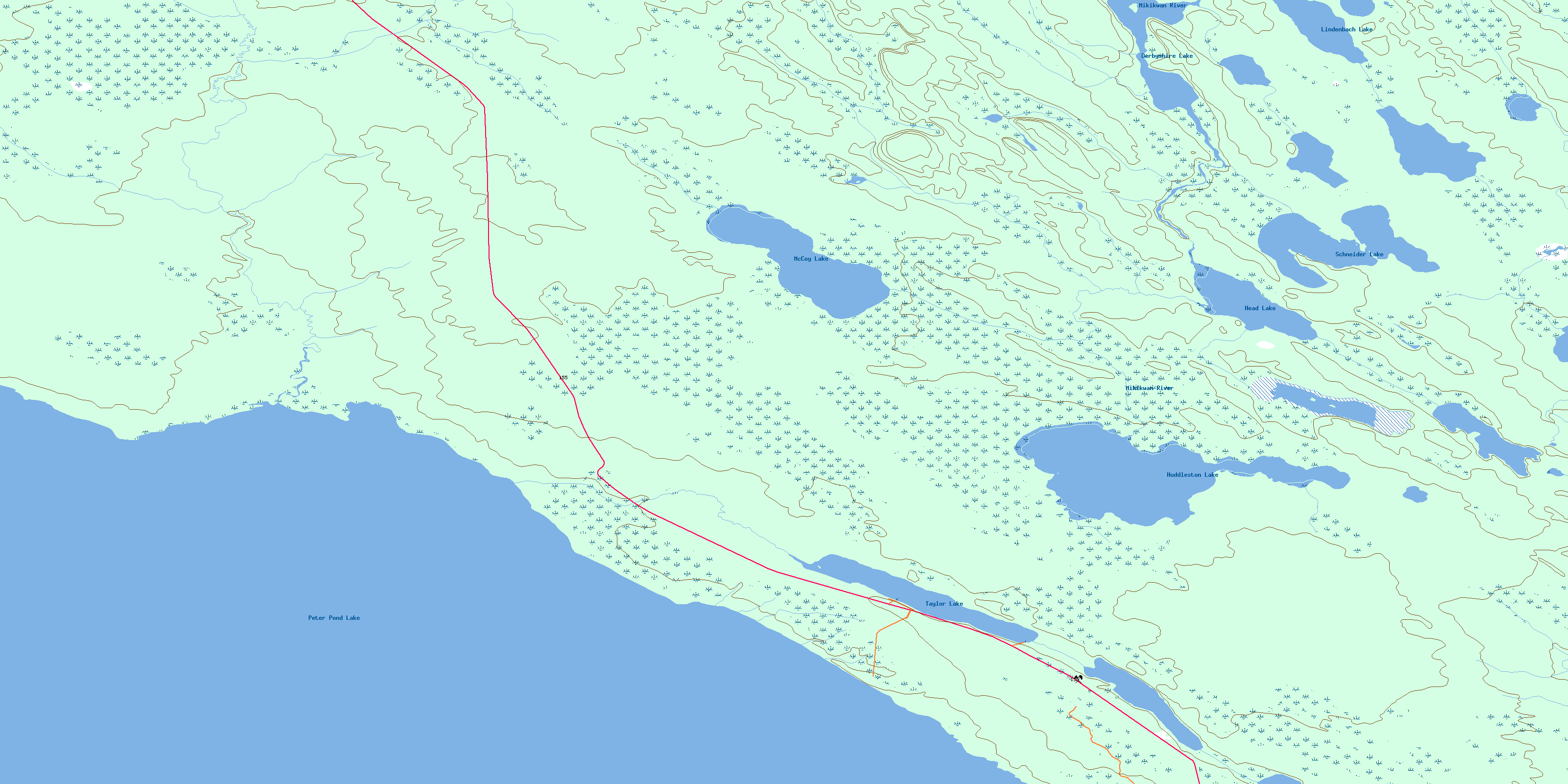
Mccoy Lake Topo Map Online
Download Free Topo Map Sheet 074C02 at 1:50,000 scale
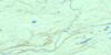
074C02 Mccoy Lake Topo Map
To view this map, mouse over the map preview on the right.
You can also download this topo map for free:
074C02 Mccoy Lake high-resolution topo map image.
Maps for the Mccoy Lake topo map sheet 074C02 at 1:50,000 scale are also available in these versions:
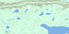
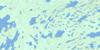
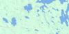
Mccoy Lake Surrounding Area Topo Maps
 |
 |
 |
 |
 |
 |
 |
 |
 |
 |
 |
 |
 |
 |
 |
 |
© Department of Natural Resources Canada. All rights reserved.
Mccoy Lake Gazetteer
The following places can be found on topographic map sheet 074C02 Mccoy Lake:
Mccoy Lake Topo Map: Indian Reserves
Clearwater River Dene Band 223La Loche Indian Reserve 223
Réserve indienne La Loche 223
Mccoy Lake Topo Map: Lakes
Derbyshire LakeHead Lake
Huddleston Lake
Lindenbach Lake
McCoy Lake
Peter Pond Lake
Schneider Lake
Taylor Lake
Mccoy Lake Topo Map: Conservation areas
Taylor Lake Recreation SiteMccoy Lake Topo Map: Rivers
Bear CreekMathews Creek
Mikikwan River
Partridge Creek
© Department of Natural Resources Canada. All rights reserved.
074C Related Maps:
074C La Loche074C01 Singleton Lake
074C02 Mccoy Lake
074C03 Hay Point
074C04 Mcadam Lake
074C05 Garson Lake
074C06 Mclean Lake
074C07 Mcaneeley Lake
074C08 Frobisher Lake
074C09 Josephson Lake
074C10 Turnor Lake
074C11 Mclean River
074C12 Wallis Bay
074C13 Heise Lake
074C14 Tocker Lake
074C15 Mackie Rapids
074C16 Mc Arter Lake
