Montgrand Lake Topo Map Online
Download Free Topo Map Sheet 074F08 at 1:50,000 scale
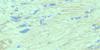
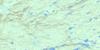
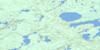
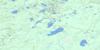
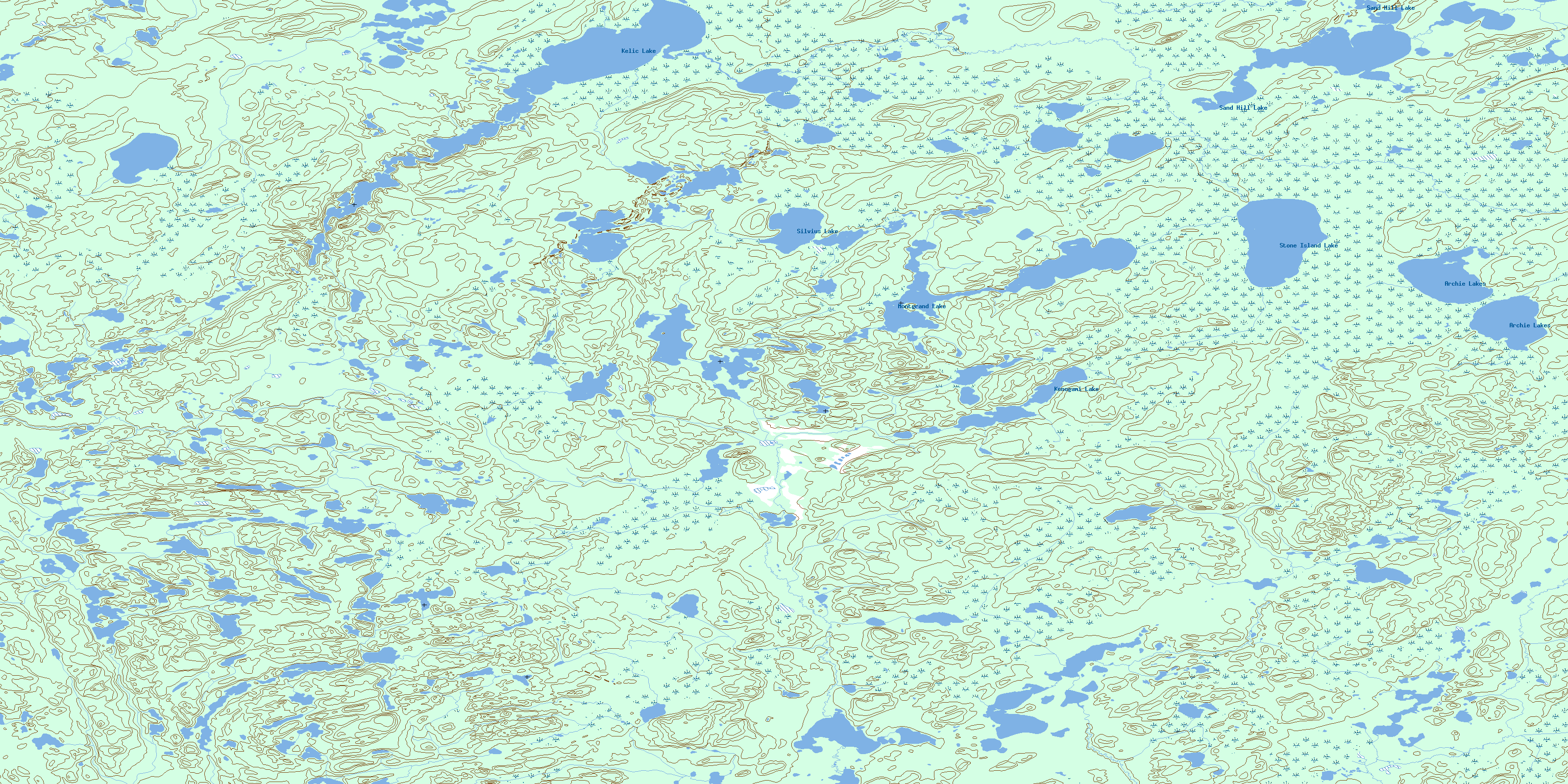
074F08 Montgrand Lake Topo Map
To view this map, mouse over the map preview on the right.
You can also download this topo map for free:
074F08 Montgrand Lake high-resolution topo map image.
Maps for the Montgrand Lake topo map sheet 074F08 at 1:50,000 scale are also available in these versions:
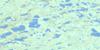
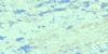
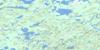
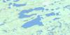
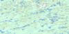
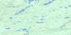
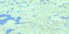
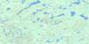
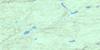
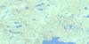
Montgrand Lake Surrounding Area Topo Maps
 |
 |
 |
 |
 |
 |
 |
 |
 |
 |
 |
 |
 |
 |
 |
 |
© Department of Natural Resources Canada. All rights reserved.
Montgrand Lake Gazetteer
The following places can be found on topographic map sheet 074F08 Montgrand Lake:
Montgrand Lake Topo Map: Lakes
Archie LakesKelic Lake
Kenogami Lake
Laturnus Lake
Montgrand Lake
Sand Hill Lake
Silvius Lake
Stone Island Lake
Montgrand Lake Topo Map: Rivers
Fortin RiverUpson River
Montgrand Lake Topo Map: Territory
Northwest TerritoriesTerritoires du Nord-Ouest
© Department of Natural Resources Canada. All rights reserved.
074F Related Maps:
074F Lloyd Lake074F01 Neff Lake
074F02 Pickford Lake
074F03 Descharme Lake
074F04 Simonson Lake
074F05 Firebag Lake
074F06 Preston Lake
074F07 Langley Lake
074F08 Montgrand Lake
074F09 Wolvernan Lakes
074F10 Koop Lake
074F11 Forrest Lake
074F12 Wenger Lake
074F13 Smart Lake
074F14 Murison Lake
074F15 Hekelaar Lake
074F16 Dunning Lake
