Hughes Lake Topo Map Online
Download Free Topo Map Sheet 074H11 at 1:50,000 scale
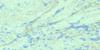
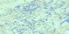
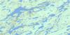
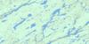
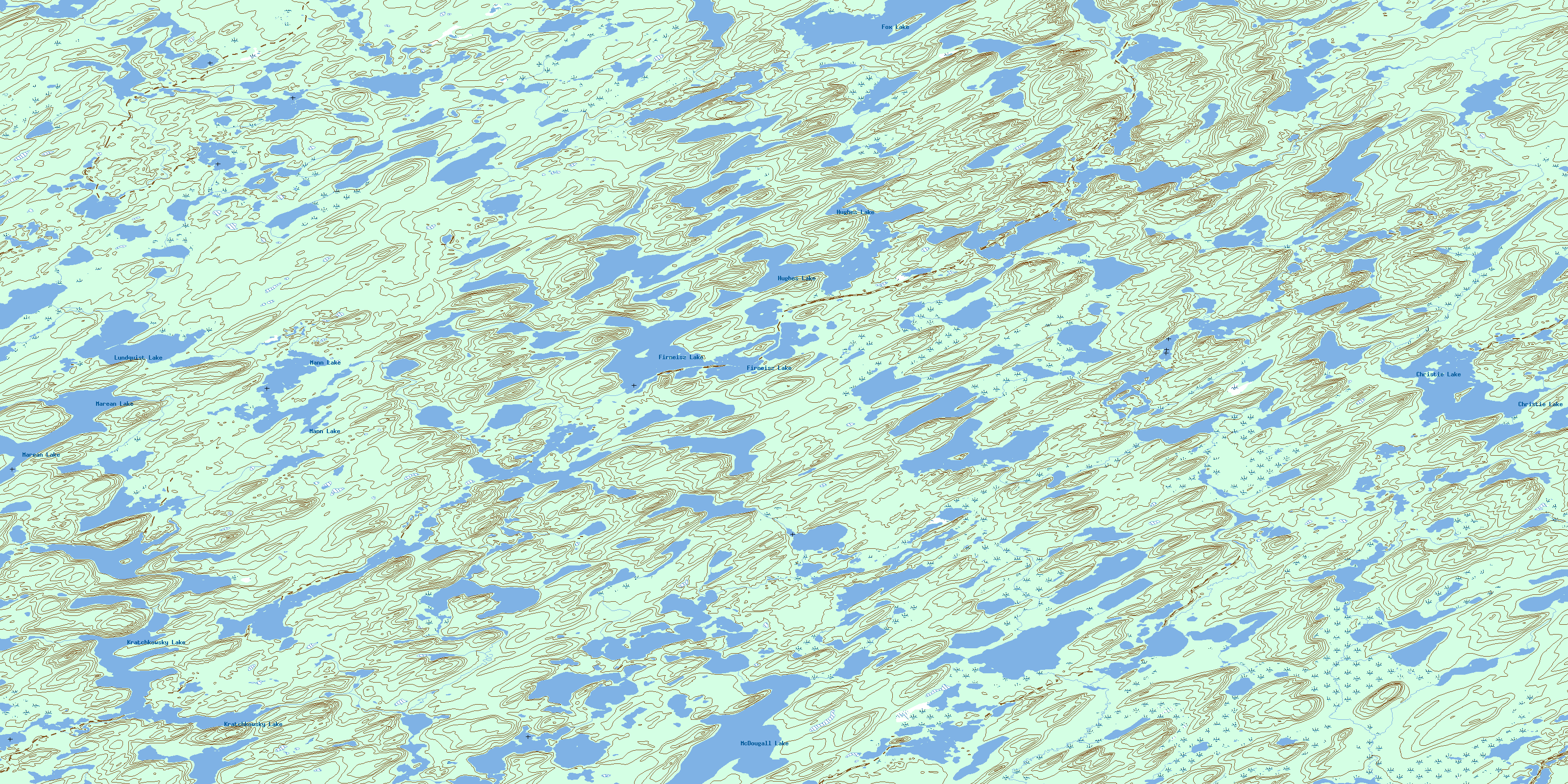
074H11 Hughes Lake Topo Map
To view this map, mouse over the map preview on the right.
You can also download this topo map for free:
074H11 Hughes Lake high-resolution topo map image.
Maps for the Hughes Lake topo map sheet 074H11 at 1:50,000 scale are also available in these versions:
Hughes Lake Surrounding Area Topo Maps
 |
 |
 |
 |
 |
 |
 |
 |
 |
 |
 |
 |
 |
 |
 |
 |
© Department of Natural Resources Canada. All rights reserved.
Hughes Lake Gazetteer
The following places can be found on topographic map sheet 074H11 Hughes Lake:
Hughes Lake Topo Map: Lakes
Christie LakeFirneisz Lake
Fox Lake
Hughes Lake
Kratchkowsky Lake
Lundquist Lake
Mann Lake
Marean Lake
McDougall Lake
Hughes Lake Topo Map: Rivers
Arnold RiverMay Creek
McLean Creek
McLeod Creek
Morrison Creek
Thomas Creek
Wheeler River
© Department of Natural Resources Canada. All rights reserved.
074H Related Maps:
074H Geikie River074H01 Bailey Lake
074H02 Alexander Lake
074H03 Lockwood Lake
074H04 Zimmer Lake
074H05 Colquhoun Lake
074H06 Russell Lake
074H07 Hodges Lake
074H08 Beckett Lake
074H09 Mcdowell Lake
074H10 Keefe Lake
074H11 Hughes Lake
074H12 Friesen Lake
074H13 Rabinovitch Lake
074H14 Kirsch Lake
074H15 Close Lake
074H16 Poulton Lake
