Dowler Lake Topo Map Online
Download Free Topo Map Sheet 074K13 at 1:50,000 scale
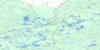
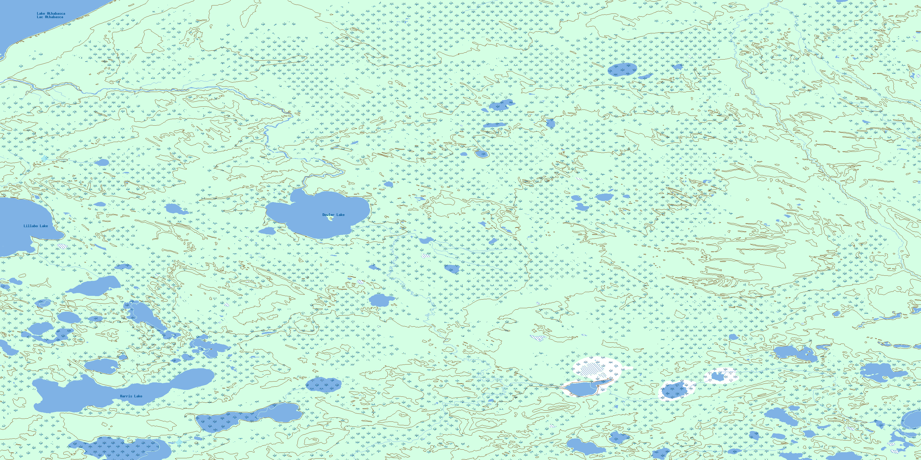
074K13 Dowler Lake Topo Map
To view this map, mouse over the map preview on the right.
You can also download this topo map for free:
074K13 Dowler Lake high-resolution topo map image.
Maps for the Dowler Lake topo map sheet 074K13 at 1:50,000 scale are also available in these versions:
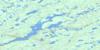
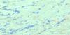
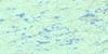
Dowler Lake Surrounding Area Topo Maps
 |
 |
 |
 |
 |
 |
 |
 |
 |
 |
 |
 |
 |
 |
 |
 |
© Department of Natural Resources Canada. All rights reserved.
Dowler Lake Gazetteer
The following places can be found on topographic map sheet 074K13 Dowler Lake:
Dowler Lake Topo Map: Lakes
Dowler LakeHarris Lake
Lac Athabasca
Lake Athabasca
Lillabo Lake
Dowler Lake Topo Map: Rivers
Debussac CreekDumville Creek
Jackfish Creek
Serwatka Creek
© Department of Natural Resources Canada. All rights reserved.
074K Related Maps:
074K William River074K01 Mctaggart Lake
074K02 Millard Lake
074K03 James Creek
074K04 Larter Creek
074K05 Cluff Lake
074K06 Jolley Lake
074K07 Payne Lake
074K08 Kalln Lake
074K09 Morrison Lake
074K10 Field Lake
074K11 Tuma Lake
074K12 Bartlett Lake
074K13 Dowler Lake
074K14 Silverthorn Lake
074K15 Atchison Lake
074K16 Davy Lake
