Darough Lake Topo Map Online
Download Free Topo Map Sheet 074M05 at 1:50,000 scale
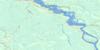
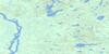
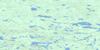
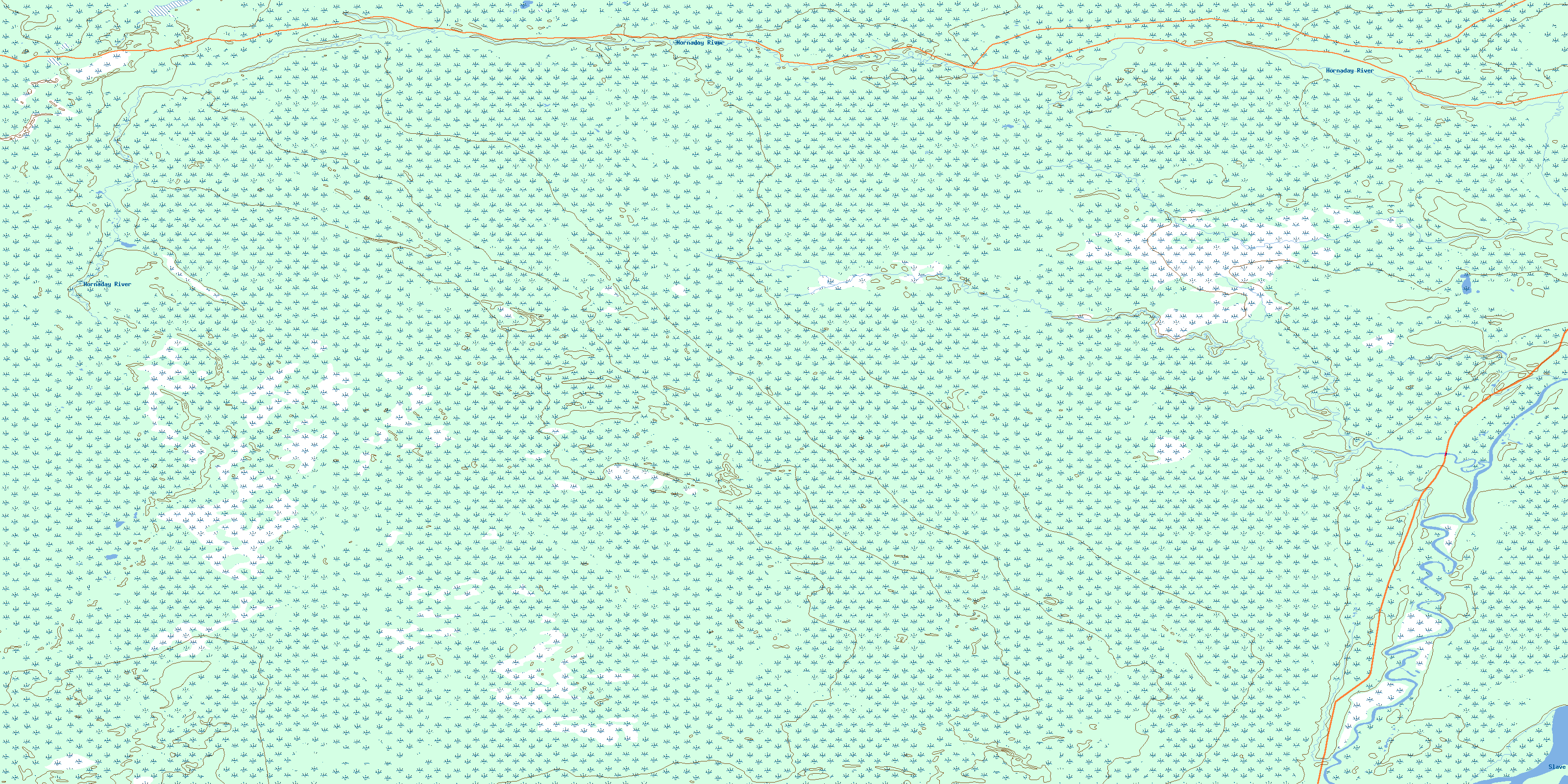
074M05 Darough Lake Topo Map
To view this map, mouse over the map preview on the right.
You can also download this topo map for free:
074M05 Darough Lake high-resolution topo map image.
Maps for the Darough Lake topo map sheet 074M05 at 1:50,000 scale are also available in these versions:
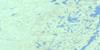
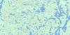
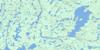
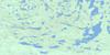
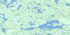
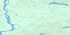
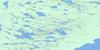
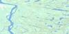
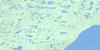
Darough Lake Surrounding Area Topo Maps
 |
 |
 |
 |
 |
 |
 |
 |
 |
 |
 |
 |
 |
 |
 |
 |
© Department of Natural Resources Canada. All rights reserved.
Darough Lake Gazetteer
The following places can be found on topographic map sheet 074M05 Darough Lake:
Darough Lake Topo Map: Other municipal/district area - miscellaneous
Improvement District No. 24Darough Lake Topo Map: Conservation areas
Parc national du Canada Wood BuffaloWood Buffalo National Park of Canada
Darough Lake Topo Map: Rivers
Hornaday RiverMurdock Creek
Slave River
© Department of Natural Resources Canada. All rights reserved.
074M Related Maps:
074M Fitzgerald074M01 Winnifred Lake
074M02 No Title
074M03 Ryan Lake
074M04 Peltier Creek
074M05 Darough Lake
074M06 Bocquene Lake
074M07 No Title
074M08 Wylie Lake
074M09 Colin Lake
074M10 Cornwall Lake
074M11 Hay Camp
074M12 Caribou Islands
074M13 Fitzgerald
074M14 Tulip Lake
074M15 Mercredi Lake
074M16 Andrew Lake
