Lefleur Lake Topo Map Online
Download Free Topo Map Sheet 075E15 at 1:50,000 scale
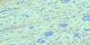
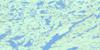
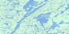
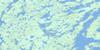
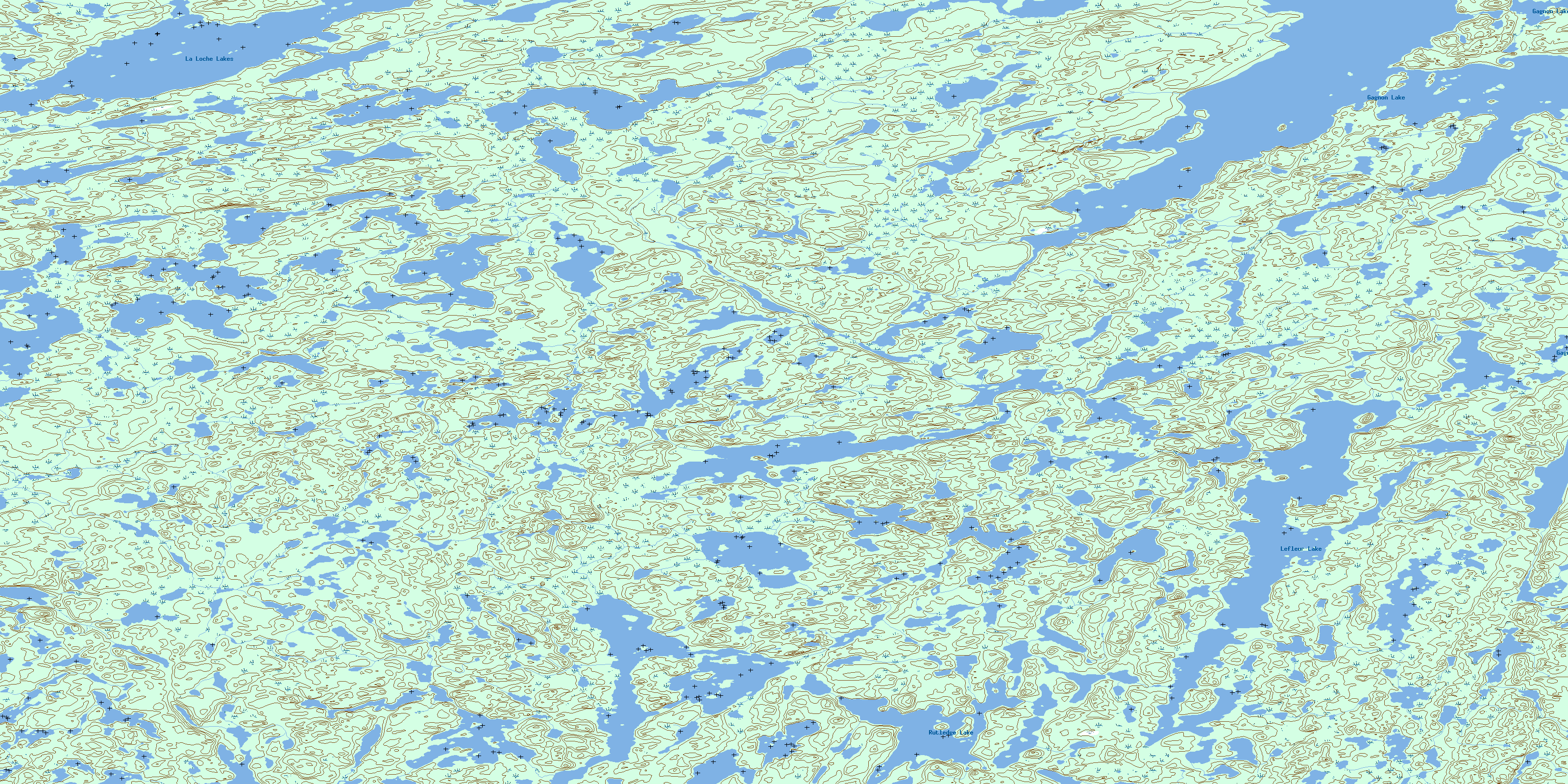
075E15 Lefleur Lake Topo Map
To view this map, mouse over the map preview on the right.
You can also download this topo map for free:
075E15 Lefleur Lake high-resolution topo map image.
Maps for the Lefleur Lake topo map sheet 075E15 at 1:50,000 scale are also available in these versions:
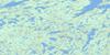
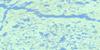
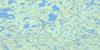
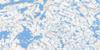
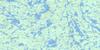
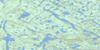
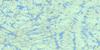
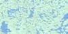
Lefleur Lake Surrounding Area Topo Maps
 |
 |
 |
 |
 |
 |
 |
 |
 |
 |
 |
 |
 |
 |
 |
 |
© Department of Natural Resources Canada. All rights reserved.
Lefleur Lake Gazetteer
The following places can be found on topographic map sheet 075E15 Lefleur Lake:
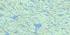
Lefleur Lake Topo Map: Lakes
Gagnon LakeLa Loche Lakes
Lefleur Lake
Rutledge Lake
© Department of Natural Resources Canada. All rights reserved.
075E Related Maps:
075E Taltson Lake075E01 Jerome Lake
075E02 King Lake
075E03 Augustine Lake
075E04 Drywood Lake
075E05E O Connor Lake
075E05W O Connor Lake
075E06 Conway Lake
075E07 Berrigan Lake
075E08 Macinnis Lake
075E09 Borrowes Lake
075E10 No Title
075E11 Pettit Lake
075E12E Thubun Lakes
075E12W Thubun Lakes
075E13E Union Island
075E13W Union Island
075E14 No Title
075E15 Lefleur Lake
075E16 Gagnon Lake
