Olson Lake Topo Map Online
Download Free Topo Map Sheet 075I14 at 1:50,000 scale
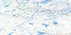
075I14 Olson Lake Topo Map
To view this map, mouse over the map preview on the right.
You can also download this topo map for free:
075I14 Olson Lake high-resolution topo map image.
Maps for the Olson Lake topo map sheet 075I14 at 1:50,000 scale are also available in these versions:
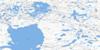
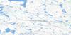
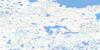
Olson Lake Surrounding Area Topo Maps
 |
 |
 |
 |
 |
 |
 |
 |
 |
 |
 |
 |
 |
 |
 |
 |
© Department of Natural Resources Canada. All rights reserved.
Olson Lake Gazetteer
The following places can be found on topographic map sheet 075I14 Olson Lake:
Olson Lake Topo Map: Lakes
Olson LakeOlson Lake Topo Map: Rivers
Mary Frances River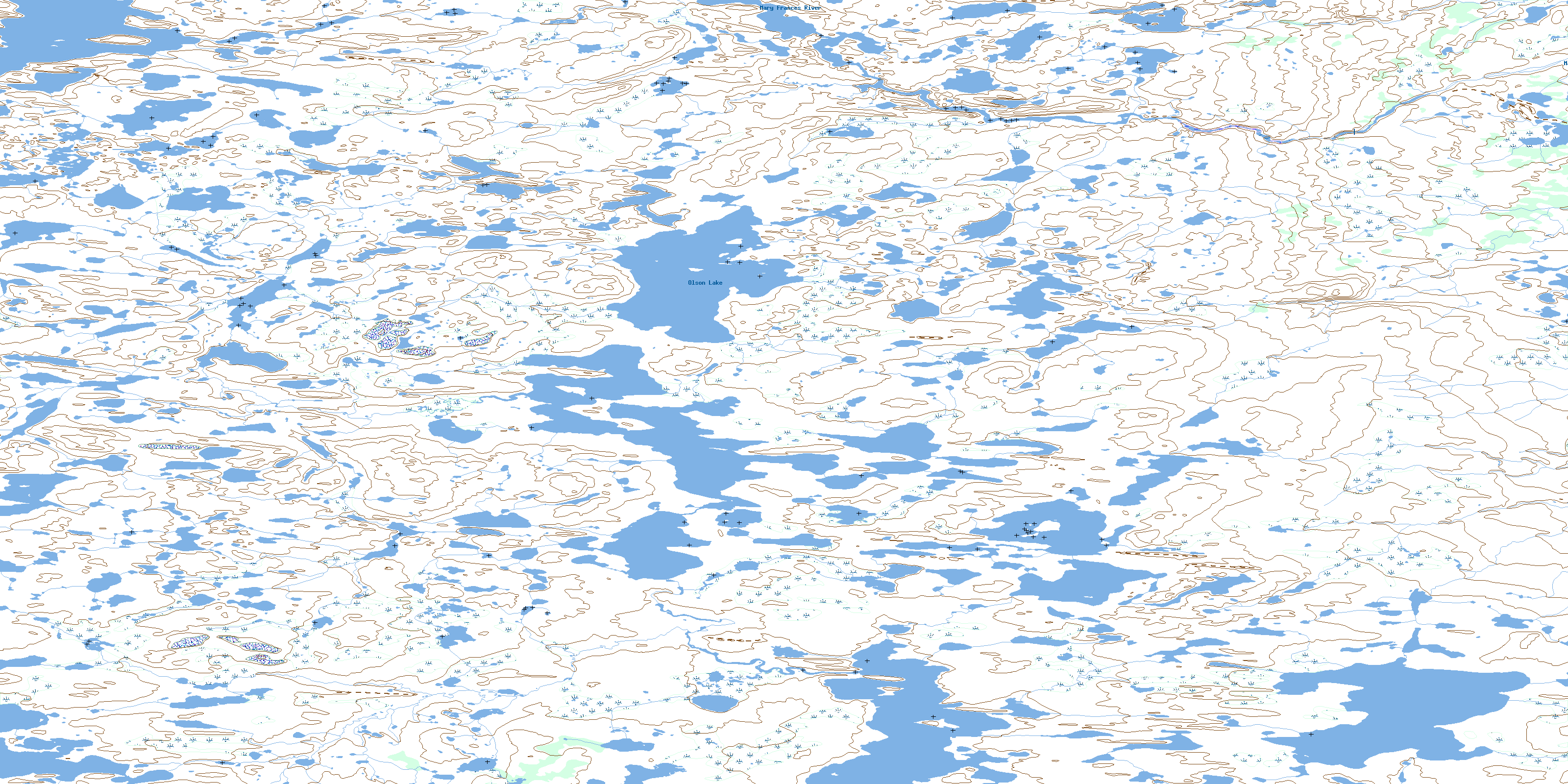
© Department of Natural Resources Canada. All rights reserved.
075I Related Maps:
075I Beaverhill Lake075I01 Croft Lake
075I02 Scheelar Lake
075I03 Biblowitz Lake
075I04 Logie Lake
075I05 Snelgrove Lake
075I06 Nieznany Lake
075I07 Jim Lake
075I08 Sid Lake
075I09 Mossip Bay
075I10 High Island
075I11 Breithaupt Lake
075I12 Noyes Lake
075I13 Bodie Lake
075I14 Olson Lake
075I15 Beck Lake
075I16 Carter Lake
