Bear Island Topo Map Online
Download Free Topo Map Sheet 076J14 at 1:50,000 scale
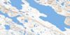
076J14 Bear Island Topo Map
To view this map, mouse over the map preview on the right.
You can also download this topo map for free:
076J14 Bear Island high-resolution topo map image.
Maps for the Bear Island topo map sheet 076J14 at 1:50,000 scale are also available in these versions:
Bear Island Surrounding Area Topo Maps
 |
 |
 |
 |
 |
 |
 |
 |
 |
 |
 |
 |
 |
 |
 |
 |
© Department of Natural Resources Canada. All rights reserved.
Bear Island Gazetteer
The following places can be found on topographic map sheet 076J14 Bear Island:
Bear Island Topo Map: Bays
Bathurst InletGordon Bay
Bear Island Topo Map: Islands
Bear Island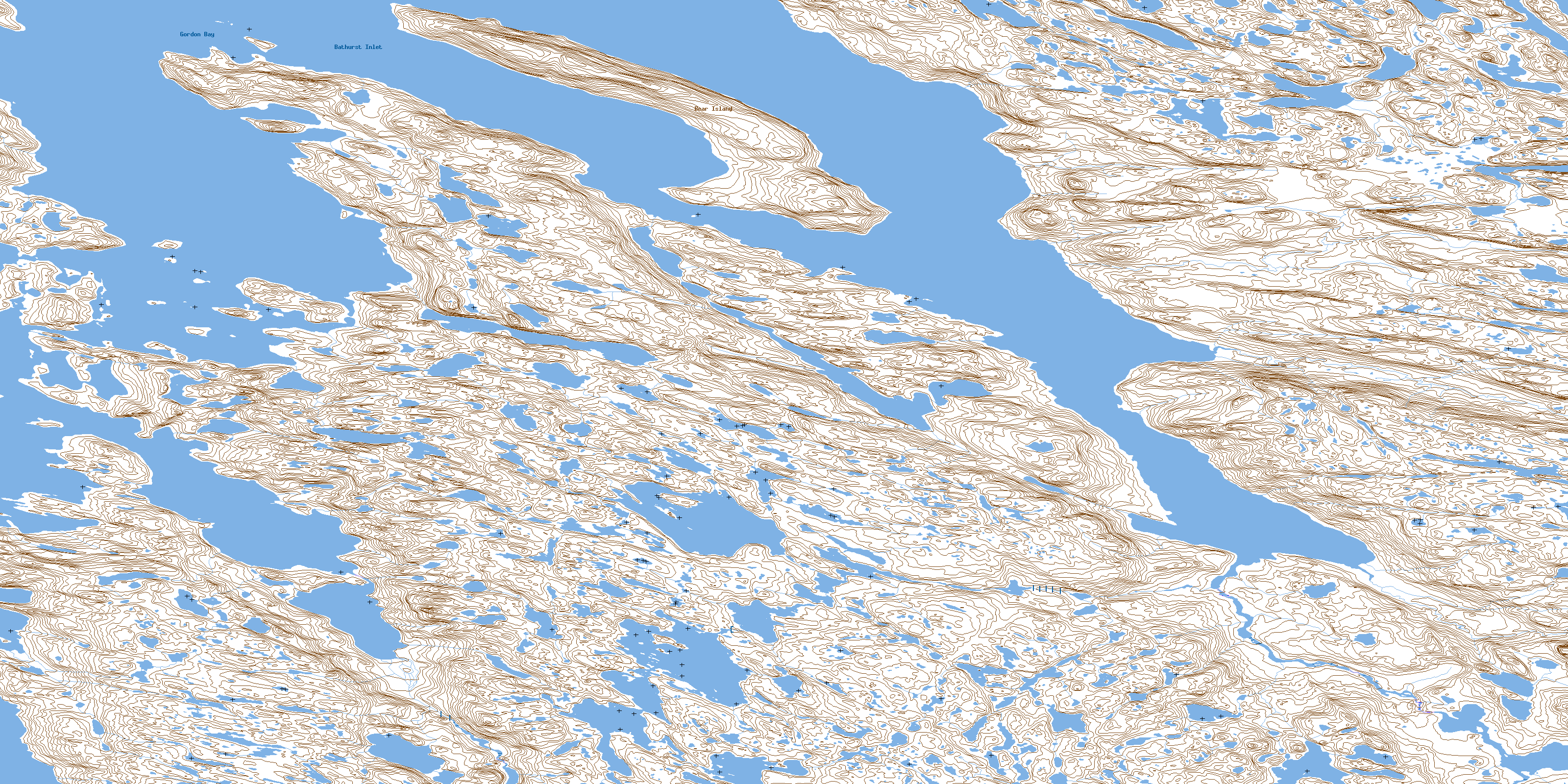
© Department of Natural Resources Canada. All rights reserved.
076J Related Maps:
076J Tinney Hills076J01 No Title
076J02 No Title
076J03 Bathurst Lake
076J04 No Title
076J05 Amagok Creek
076J06 Kenyon Lake
076J07 No Title
076J08 No Title
076J09 No Title
076J10 No Title
076J11 Bear Creek Hills
076J12 Fishing Creek
076J13 Quadyuk Island
076J14 Bear Island
076J15 Hiukitak River
076J16 No Title
